Alert
Alerts
Drifting on the Rive (Circuit n°2)
IGN cards


Description
La Rive is the name of the unusual river that runs through Bourg-d'Oisans – unusual in that it has very calm, clear water and a stable, cool temperature throughout the year (around 8°). In addition, the amount of water flowing in the river varies little from season to season. It is of exceptional interest from a biological viewpoint.
This circuit of 17 km can be done by car but it's perfect for a family hike on the flat (for once!).
You can explore this exceptional heritage by following the Sentier du Castor path. Starting from the town centre, follow the "beaver" signs and walk to the source of La Rive. Continuing a little further, you will arrive at the Cascade de la Pisse waterfall, a haven of secret and somewhat melancholy tranquility nestled in the heart of the woods…
Another original idea involves canoeing down La Rive. Flowing from a natural resurgence, the Rive is always completely calm and peaceful! All you have to do is let yourself glide through the water. An original and refreshing trip for the whole family!
To finish off your outing, drive out of Bourg-d'Oisans towards Alpe d’Huez. After the Camping la Cascade, go over the bridge and turn left where you see the EDF buildings just before the road up to the resort (La Ferrière).
Follow the directions to Les Essoulieux, where you can visit the horse stables, located on the left at the entrance to the hamlet. Learn more about the breeding of the Mérens race of horses and go for a ride either on horseback or in a horse-driven carriage (book ahead).
Then carry on through the hamlet of Bassey. At the end of the hamlet, turn left and then immediately right to follow the paved road to the bridge. Cross the Romanche River and follow the route to the RD 1091.
Turn left and before arriving back in Bourg d'Oisans, stop off at the Brasserie Goodwin (on the right after the Total fuel station, then left behind the restaurant Chez Nannie).
The owner, Chris, is from England and his nostalgia for the characteristic taste of the beer from his home country led him to open his own microbrewery at the end of 2015, producing Englishstyle "Made in Oisans" beer.
Technical Information
Altimetric profile
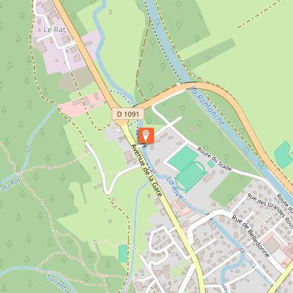
Starting point
Points of interest

Additional information
Updated by
Oisans Tourisme - 15/10/2025
www.bike-oisans.com
Report a problem
Open period
Throughout the year : open daily.
Contact
Phone : 04 76 80 03 25
Data author
