L'Aiguillon
Description
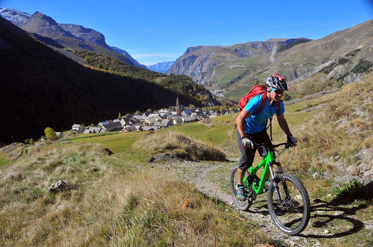
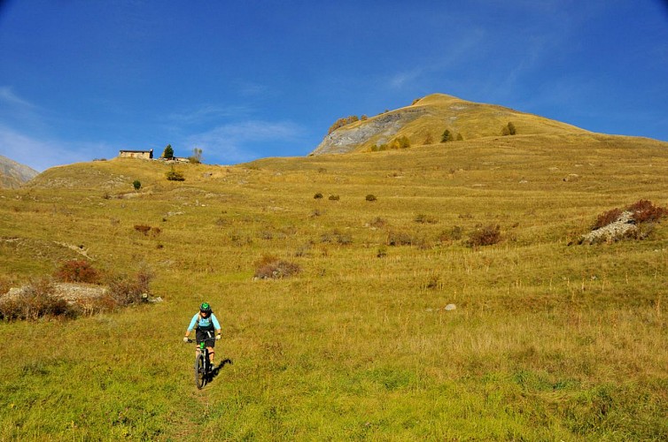
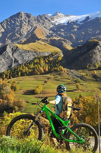
A lovely half-day ride, offering fabulous views from the south-facing valley over the mountains of La Meije and Les Agneaux and magnificent single tracks.
Route in the "MTB in Oisans" guide (Oisans Tourisme)
Departure / Arrival (loop): Villar d'Arène 1 640 m
Time: 2h30
Distance: 14 km
Highest point: 2 052 m
Lowest point: 1 472 m
Total ascent: 616 m
Total descent: - 616 m
Technique: 2/4
Endurance: 2/4
Map: Top 25 IGN 3435 ET Valloire
ROUTE
> Starting at Villar d’Arène, this route is signposted FFC no. 4 L’Aiguillon. Cross Villar d’Arène and ride to Le Pied du Col on a small road. Once at the hamlet, turn off up to the left towards Les Cours on a path that takes you up to the D1091. From the D1091, turn right for 250 m and then take a path off to the left that leads up to Les Cours.
> At the entrance to the hamlet, turn right onto the path that goes above the road, before rejoining the small road that leads to the Chardoucier car park.
> Just before the car park, turn off up to the left to L’Aiguillon (2052 m) on a balcony path. You’ll probably need to push the last few metres.
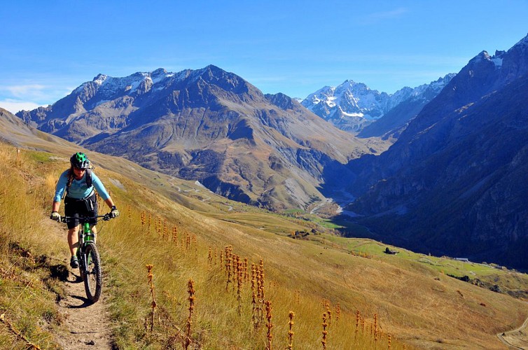
> From the summit of L’Aiguillon, go down to the right towards Valfroide. At the end of the valley, turn left up a very pleasant path to Puy Golèfre.
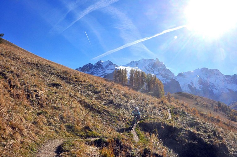
> From Puy Golèfre, go down a somewhat technical path to the D1091.
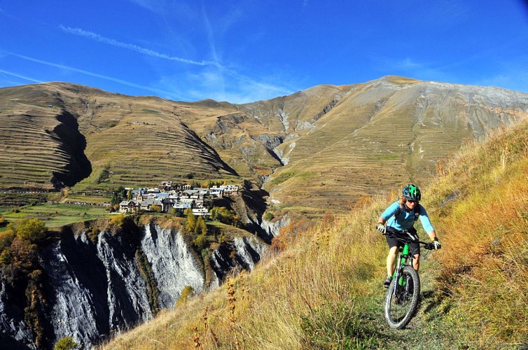
> Turn right towards La Grave and at the entrance to the village, turn down to the left to the Arboretum (following signs to «Camping La Meije»). At the bottom, cross over the Romanche river and and left up the side of the Ecrins National Park boundary on a technical path until you reach Villar d’Arène.
ALTERNATIVE:
The descent of the Chemin de Côte de la Ville.
From L’Aiguillon, take the «Chemin de Côte de la Ville», which leads directly to Villar d’Arène. This is a technical ride, featuring tight switchbacks on a very narrow path.
Only for experienced bikers!
---
Time: 20 mins.
Distance: 3.5 km
Total ascent: 41 m
Total descent: -462 m
Technique: 4/4
Endurance: 1/4
Technical informations
14 km
|
max. 2060 m
min. 1452 m
616 m
616 m
| |||
Style : Mountain Public : Reserved for experts/confirmed | ||||
Altimetric profile
Starting point
Steps
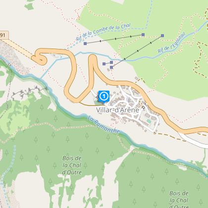
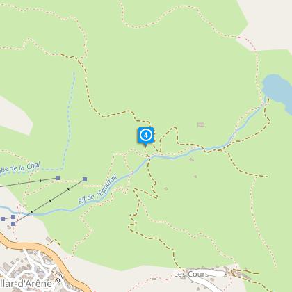
Villar d'Arène
From the village, take the path to the Chapelle Saint Antoine and carry on to Les Cours.
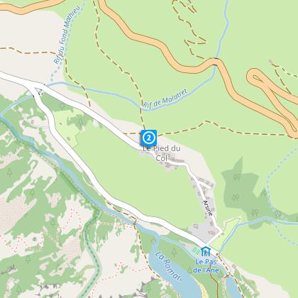
Le Pied du Col
Montez à gauche en direction des Cours.
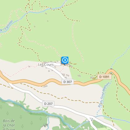
Le Cours
Take a small road that leads up to the car park of Le Chardoucier.
Parking Le Chardoucier
Just before to arrvie at the parking, take left to go at "L'Aiguillon"
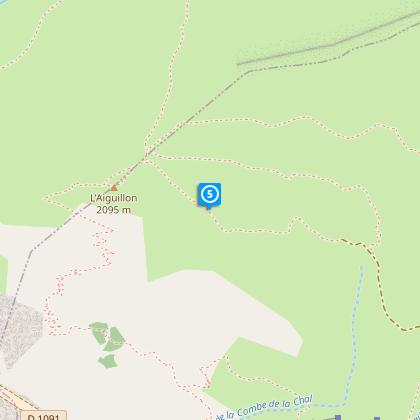
Pousser !
Quelques minutes de poussages seront de mise sur les derniers mètres.
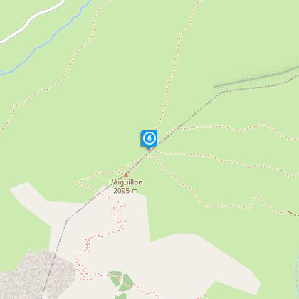
L'Aiguillon
Follow the path until Valfroide. Or... Alternative: from L’Aiguillon, take the Chemin de Côtes de la Ville, which arrives at the waste collection site.
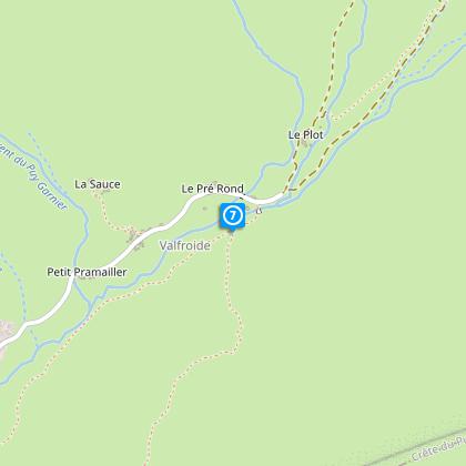
Valfroide
Ride to La Grave descending via Puy Golèfre.
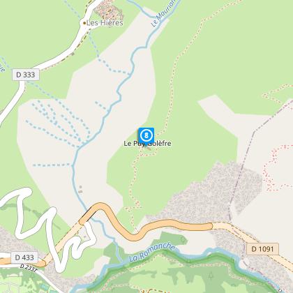
Le Puy Golèfre
Descente technique jusqu'à la RD 1091.
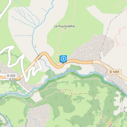
Rd 1091
Once on the road turn left until Villar d'Arène (be carreful in tunnel)
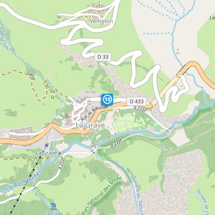
La Grave
En entrant dans le village, prendre la première route à gauche qui descend à l'arboretum (suivre le panneau "Camping de La Meije")
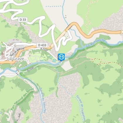
Arboretum / Retour à Villar d'Arène
Passer la Romanche et prendre à gauche en direction de Villar d'Arène. Ce chemin technique longe le Parc National des Ecrins.
Date and time
- From 01/05/2024 to 15/11/2024
- From 01/05/2025 to 15/11/2025
Additional information
Updated by
Oisans Tourisme - 08/04/2024
www.oisans.com
Report a problem
Environments
Mountain location
Mountain view
Open period
From 01/05 to 15/11.
Subject to snow conditions.
Contact
Phone : 04 76 11 39 73
Email : info@oisans.com
Website : www.bike-oisans.com
Topo guides and map references
Topo guides references :
Route in the "MTB in Oisans" guide (Oisans Tourisme)
Map references :
Top 25 IGN 3435 ET Valloire
Location complements
Leave your car in the car park at the entrance to Villar d'Arène.
Data author
