Alert
Alerts
The Sewing Machine descent (via Le Puy)
IGN cards


Description
This is quite a complicated trail, with highly technical switchbacks near the edge of the Prégentil cliff.
Itinerary in the “MTB in Oisans” guide (Oisans Tourisme)
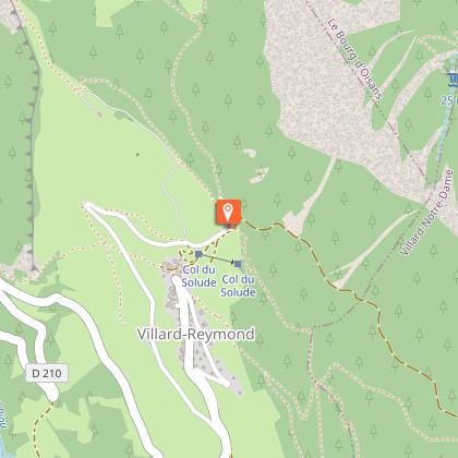
Departure: Villard Reymond - Col du Solude, 1 680 m
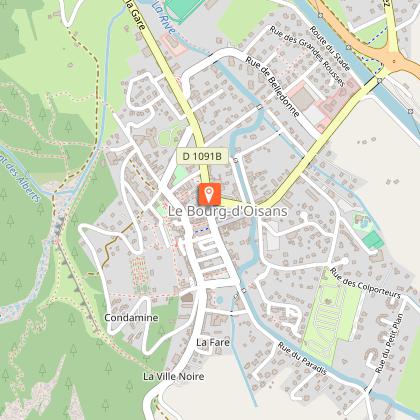
Arrival: Le Bourg d'Oisans 720 m
Time: 2 hours
Distance: 10 km
Highest point: 1 842 m
Lowest point: 720 m
Total ascent: 200 m
Total descent: - 1 150 m
Technique: 4/4
Endurance: 3/4
Map: Top 25 Le Bourg d'Oisans L'Alpe d'Huez 3335ET
ROUTE
> The route starts from the Col du Solude, just above Villard-Reymond. This is a peaceful place, with a magnificent viewpoint over Bourg-d’Oisans and Alpe d’Huez.
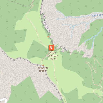
> From the Col du Solude, turn left up to the Col Saint-Jean. Once at the Col Saint-Jean, follow signs to «La Paute», down through the pastureland. At the end, turn right, following signs for «La Paute / Le Bourg-d’Oisans par Le Puy».
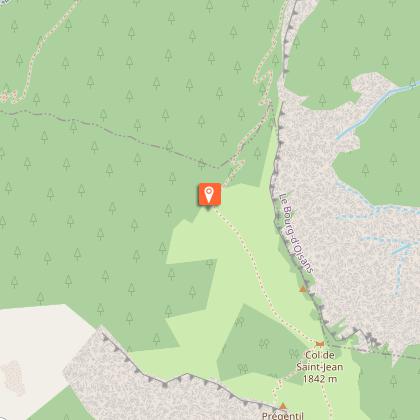
> In the forest, a series of very tight, technical switchbacks awaits, leading close to the edge of the Prégentil cliff.
> This intense section takes you down to an old forest track. Go down this track, but not too fast or you’ll miss the first path off to the right. The path widens out and the bends are not as tight. You can breathe more easily!
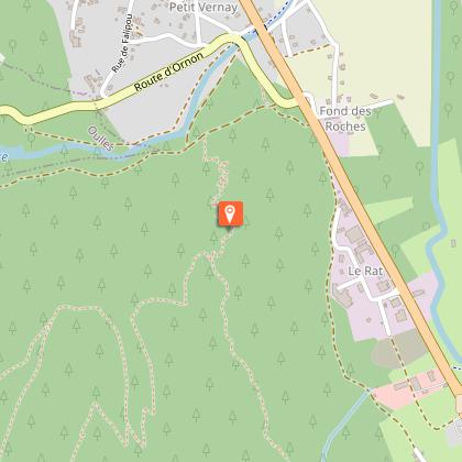
> It’s then a pleasant ride down to the ruins of Le Puy. Turn left towards «La Paute» on a highly technical track. When you come to a junction, do not follow the ridge and fork off to the left, following the «trail» waymarks.
> By the time you get to the bottom of the Lignarre valley, you’ll be an expert in the art of nose turns!
Turn right, back to Bourg-d’Oisans alongside the road.
------------------
ALTERNATIVE RETURN: Under the Prégentil cliff.
If you’ve had enough of switchbacks and prefer to let your hair fly behind you on a path directly back to Bourg-d’Oisans, turn right when at the ruins of Le Puy. A more technically accessible balcony path leads you directly back just behind the sports hall of Le Bourg-d’Oisans.
Time: 20 mins
Distance: 2.3 km
Total ascent: 20 m
Total descent: -330 m
Technique: 3/4
Endurance: 1/4
It's important to note that, all in all, this is a very technical ride intended for experienced bikers. Don't try if you don't qualify!
Technical Information
Altimetric profile
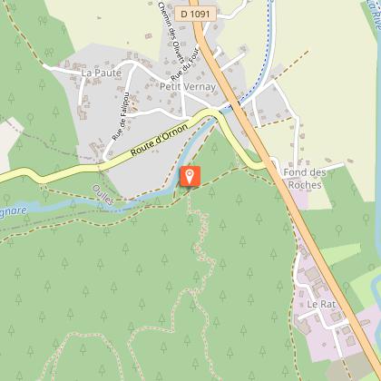
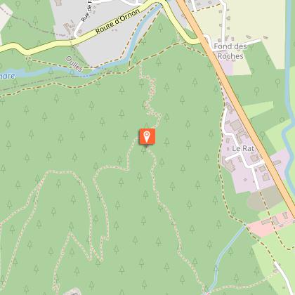
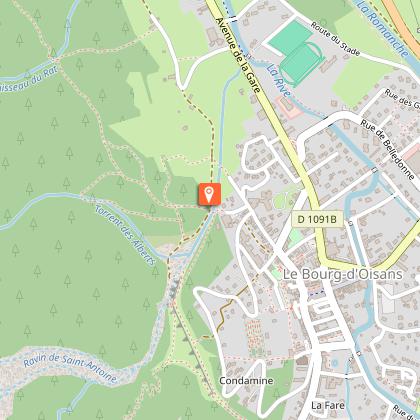
Starting point
Steps

Additional information
Updated by
Oisans Tourisme - 16/12/2025
www.bike-oisans.com
Report a problem
Environments
Mountain location
Open period
From 01/06 to 31/10 daily.
Subject to favorable snow and weather conditions.
Contact
Phone : 04 76 80 03 25
Email : info@oisans.com
Website : https://www.bike-oisans.com
Topo guides and map references
Topo guides references :
Route in the "MTB in Oisans" guide (Oisans Tourisme)
Map references :
Top 25 Le Bourg-d'Oisans, l'Alpe d'Huez 3335 ET
Location complements
From Bourg d'Oisans, it's roughly a two-hour ride up to the Col du Solude. Alternatively, use two cars (approx. 30 mins to the Col by car).
Two routes:
- Via the road to Col d'Ornon (D526), followed by Villard-Reymond (D210).
- Via Villard-Notre-Dame (D219), then the 4WD track to the Col du Solude.
Data author
