Alert
Alerts
The Col du Sabot descent


IGN cards


Description
Magnificent from start to finish! A real bicycle tour, thanks to the fabulous landscape and the fun sections featured throughout the ride, including pastureland for fast riding, paths winding their way between old farms in the Vaujany hamlets and forest sections.
Route in the “MTB in Oisans” guide (Oisans Tourisme)
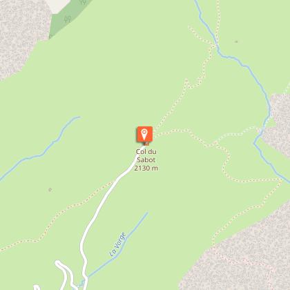
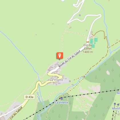
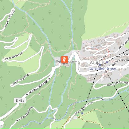
Departure: Col du Sabot, 2 100 m
Arrival: Allemond, 730 m
Time: 1 1/2 hours
Distance: 12.3 km
Highest point: 2 100 m
Lowest point: 7 30 m
Total ascent: 51 m
Total descent: - 1430 m
Technique : 2/4
Endurance : 2/4
Map: Top 25 Bourg d'Oisans et l'Alpe d'Huez 3335 ET
ROUTE
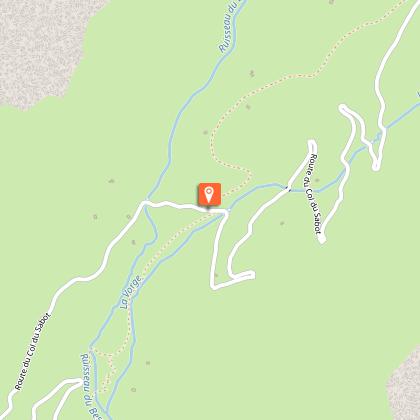
> From the Col du Sabot, go down the road and immediately take the path to the right down to the chalets in Col d’En Bas (signposted red and white). This section through pastureland is quite bumpy until the road. Cross the Col du Sabot road a first time, onto quite a large, fast track, leading off opposite. Watch out for livestock.
> On this fast section, keep an eye down to the left so that you don’t miss the best part of this route.
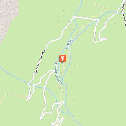
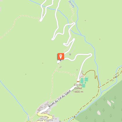
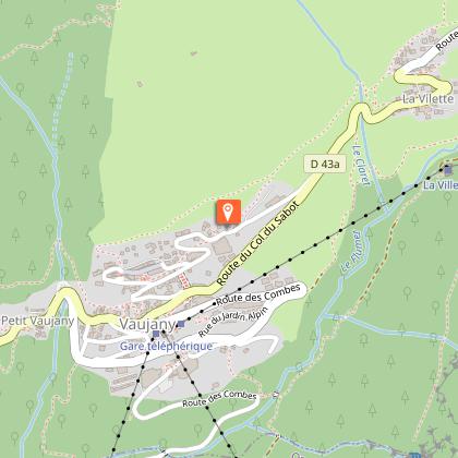
> After a fine series of switchbacks, cross over the road several times down to La Villette. The last section before La Villette can be very fast - watch out for hikers and local residents when you get close to the village.
> The path carries on just above La Villette and the road to Le Rochas.
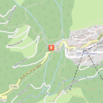
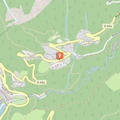
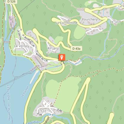
> Take the old village road across Vaujany towards the church. 50 m after the cemetery, take the path off to the left (paved at the beginning) to Le Perrier on the Chemin du Reposoir, passing under the road.
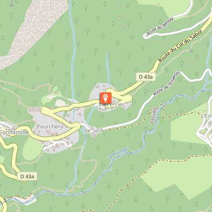
> Once in Le Perrier, after the hairpin bend, take the small lane on the left (at La Maitreya) and ride down to Pourchery.
> Carry on past the hairpin bend, take the small lane on the left and follow the road until it turns into a small path. Watch out for local residents, as this steep lane passes very close to the houses. This fast, technical path takes you «straight» to a quarry next to the Flumet.
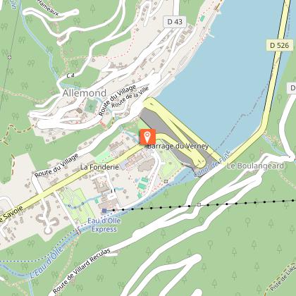
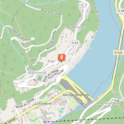
> Back on the road, turn left back to Allemond, along the Lac du Verney.
As you are leaving Vaujany, you can extend this route by the descent known as the "Cheminées d'Equilibre de Vaujany". But you need to ride up 5 good kilometres, with a height gain of 520 m, to do this.
Technical Information
Altimetric profile
Starting point
Steps
Points of interest
Additional information
Updated by
Office de Tourisme de Vaujany - 15/10/2025
www.vaujany.com/fr/
Report a problem
Environments
Mountain view
Mountain location
Lake 5 km away
Tips
In July and August, a free shuttle bus operates between Bourg d'Oisans and Vaujany. Ask the tourist office for the timetable.
Open period
From 01/06 to 31/10.
Topo guides and map references
Topo guides references :
Route in the “MTB in Oisans” guide (Oisans Tourisme)
Map references :
Top 25 Bourg d'Oisans et l'Alpe d'Huez 3335 ET
Contact
Phone : 04 76 80 72 37
Email : info@oisans.com
Website : https://www.bike-oisans.com
Location complements
From Allemond, ride up to Vaujany and carry on up the road to the Col (a 3-hour ride). If you have two cars, you need 35 minutes to get from Allemond to the Col du Sabot.
Data author
