Alert
Alerts
Forêt de l'Ours via the Combe du Bras
Description
This great enduro route is perfect for experienced bikers. It’s one of the rare tracks that leads down to Bourg-d’Oisans from Alpe d’Huez.
Route in the “MTB in Oisans” guide (Oisans Tourisme)
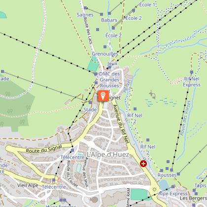
Departure : Alpe d' Huez, 1850 m
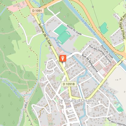
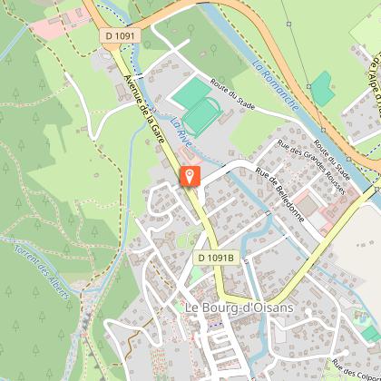
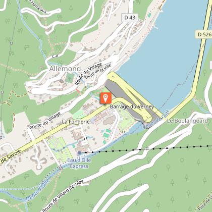
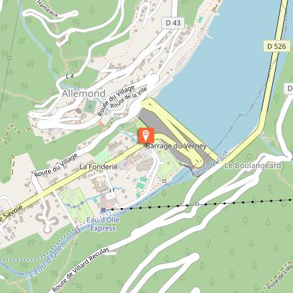
Arrival: Allemond or Le Bourg-d'Oisans, 720 m
Length: 2 hours
Distance: 17 km
Highest point: 1 850 m
Lowest point: 720 m
Total height gain: 146 m
Total height loss: - 1280 m
Technique: 4/4
Endurance: 2/4
Map: Top 25 Bourg d'Oisans et l'Alpe d'Huez 3335 ET
ROUTE
> This route is signposted by the FFC [EN6].
> In Alpe d’Huez, ride up to the top of the resort, to the «Rond point des Pistes» roundabout and then onto the «Chemin Panoramique» that goes around the Grande Sure.
> Follow the panoramic path to a viewpoint table, where you can take a minute to admire the view, before switching into descent mode.
> Set off into the Combe du Bras, following the path straight down into the forest (not going up to the right). The upper part of the Combe du Bras features rather slippery soil bends. Lower down, the terrain becomes stony and more technical.
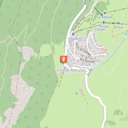
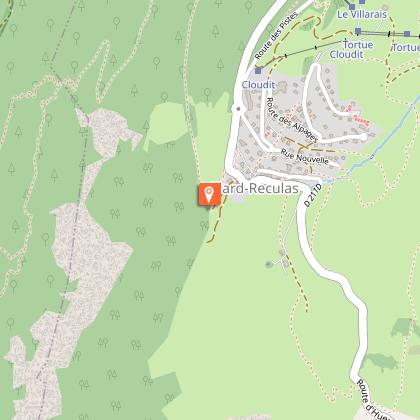
> This path brings you down to the Huez – Villard-Reculas tarmac road, which you take to the right for 3km to Villard-Reculas. The «Pas de la Confession» road daringly overhangs the entire Le Bourg-d’Oisans plain with superb viewpoints. Ride through Villard-Reculas. When you get to a car park, take the grassy path at the end to the left.
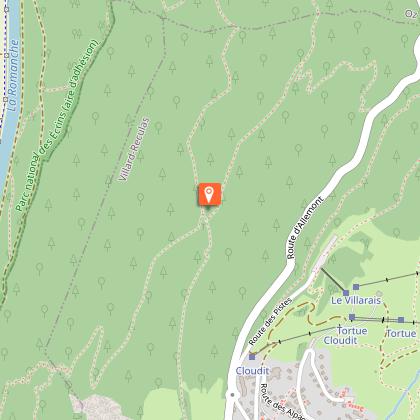
> The path into the Forêt de l’Ours starts below the war memorial, in a field where there are sometimes livestock. Take care, as «speed bumps» have been installed as far as the beginning of the wood.
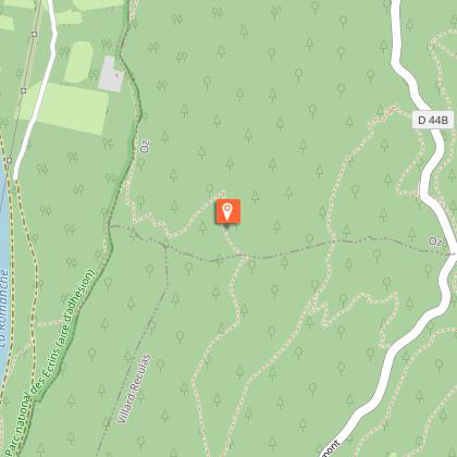
> Once in the woodland, the path is fast until a small footbridge. Just afterwards, go straight on at the switchback, following the signs [EN 6]. The first part has lovely banked switchbacks and then after a traverse, you get to the more technical section called ‘La Fontaine de l’Ours’.
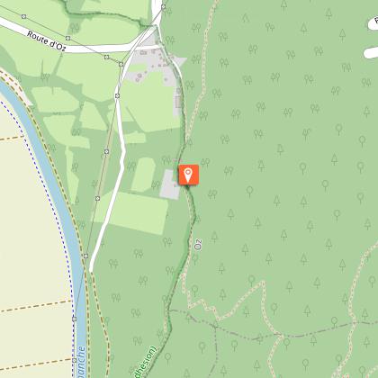
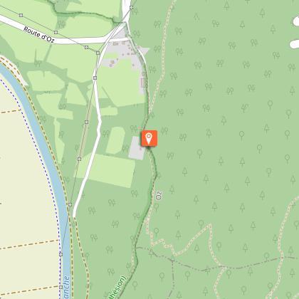
> After this exciting section, you arrive directly in the Bourg-d’Oisans plain, close to the hamlet of Le Raffour. From here, you can either go straight on to Allemond, or turn left to Le Bourg-d’Oisans.
Technical Information
Altimetric profile
Starting point
Steps
Date and time
- From 01/06/2026 to 01/11/2026
- From 01/06/2027 to 01/11/2027
Additional information
Updated by
Alpe d'Huez Tourisme - 25/02/2026
www.alpedhuez.com
Report a problem
Environments
Mountain location
Open period
From 01/06 to 01/11 daily.
Subject to snow conditions.
Contact
Phone : 04 76 11 44 44
Email : info@oisans.com
Website : https://www.bike-oisans.com
Topo guides and map references
Topo guides references :
Route in the "MTB in Oisans" guide (Oisans Tourisme)
Map references :
Top 25 Le Bourg-d’Oisans et l’Alpe d’Huez 3335 ET
Location complements
There are several ways to reach the starting point at Alpe d'Huez. Take 2 cars and leave one in Bourg d'Oisans.
You can also take the Bourg d'Oisans > Alpe d'Huez bus line (line 3020).
During the summer season, the Allemond > Oz shuttle bus service will take you to Alpe d'Huez (you'll need a lift pass to get to Alpe d'Huez).
