Alert
Alerts
The Auris balcony paths


IGN cards


Description
The lovely classic XC route goes round the Signal de l’Homme and the Croix de Cassini and along the valleys of the Sarenne, Ferrand and Romanche rivers. The return trail on the south-facing Auris side will show you the «Mediterranean» side of Oisans.
Itinerary from the "VTT en Oisans" guide (Oisans Tourisme)
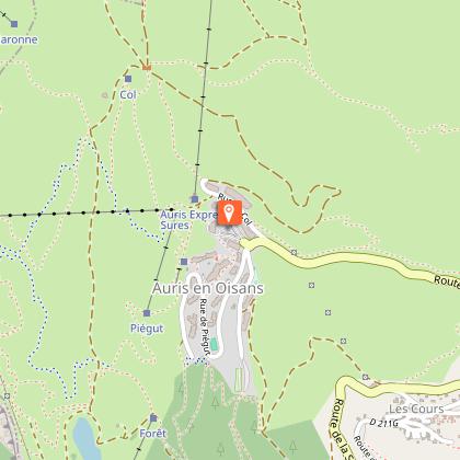
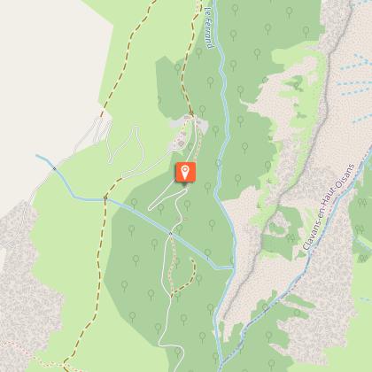
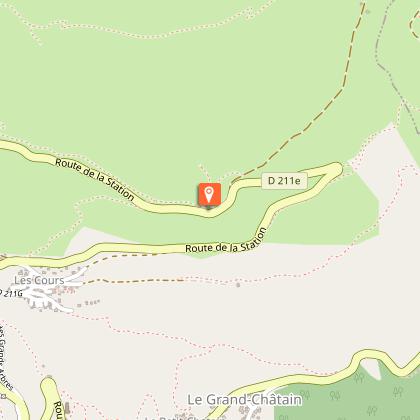
Start/finish (loop) : Auris-en-Oisans (resort) 1600 m
Duration : 4 h 30
Distance: 29 km
Highest point: 1999 m
Lowest point: 1226 m
Ascent: 940 m
Negative altitude gain: -940 m
Technical: 2/4
Endurance: 4/4
Map: Top 25 Bourg d'Oisans et l'Alpe d'Huez 3335 ET
ITINERARY
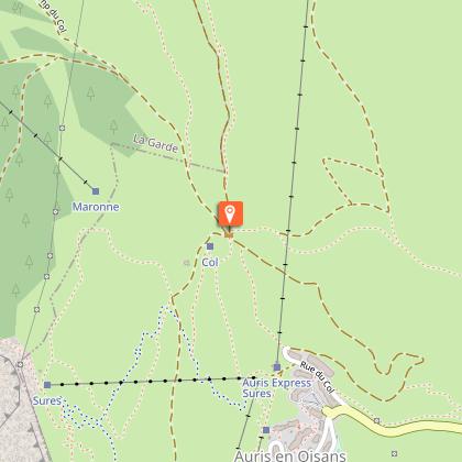
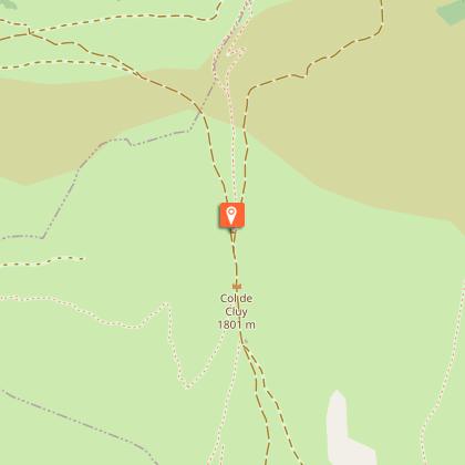
> From the Auris-en-Oisans parking lot, take the path towards the Col de Maronne. At the pass, continue right on a well-marked 4x4 track to the Col de Cluy.
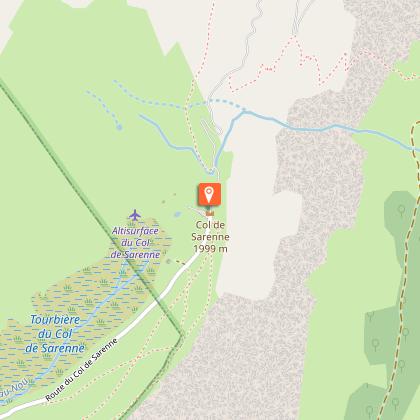
> Then descend to the left as far as the Pont des Envers (do not cross) and follow the Sarenne torrent on the left bank as far as the Col de Sarenne.
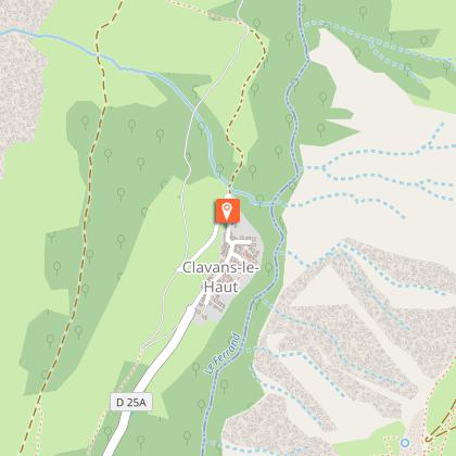
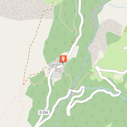
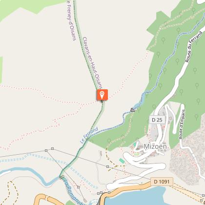
> From the col, descend to Le Perron, where you'll find a path that avoids a section of road. Look on your right. Follow the GR 54 towards Clavans-le-Haut then Clavans-le-Bas.
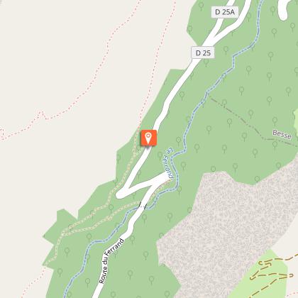
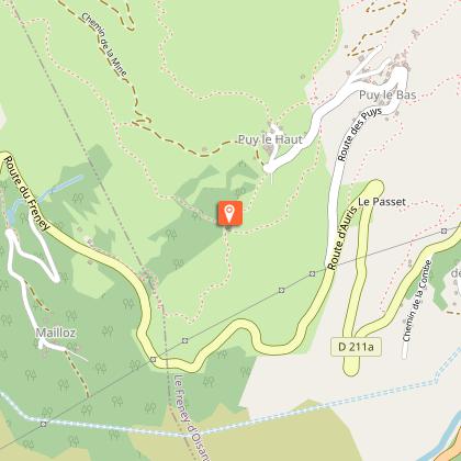
> From Clavans, continue along the road towards Mizoën. 200 m after the Besse intersection, take the small path that climbs to the right towards "l'Oratoire du Follet / Puy-le-bas". This spectacular section is fairly technical and physical. The route winds pleasantly through cool undergrowth, then springs back to life on a panoramic path to the oratoire du Follet.
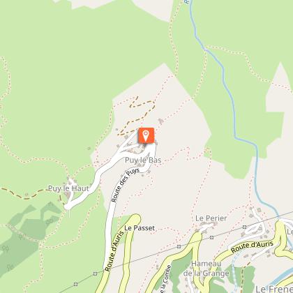
> Shortly after the oratory, take the path on the right towards Puy-le-Haut / Puy-le-Bas. Be careful on this narrow path of rolling stones.
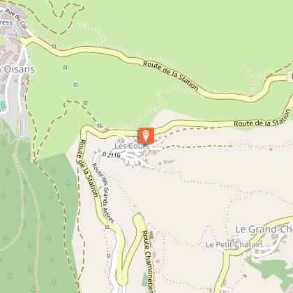
> From Puy-le-Bas, continue along the road towards Puy-le-Haut. Before reaching Puy-le-Haut, take the left-hand path towards "La Croix de Trévoux", then continue gradually uphill towards the hamlet of Cours. On this south-facing slope, the vegetation changes and becomes more southerly.
> From "Aux Cours", climb the road towards Auris. At Chapelle St-Giraud, you can take the small signposted path [XC 4] which climbs up to Auris, overlooking the road.
Technical Information
Altimetric profile
Starting point
Steps
Additional information
Updated by
Oisans Tourisme - 06/10/2025
www.bike-oisans.com
Report a problem
Environments
Mountain location
Open period
From 01/06 to 31/10.
Subject to favorable snow and weather conditions.
Contact
Phone : 04 76 80 13 52
Email : info@auris-en-oisans.fr
Website : https://www.bike-oisans.com/
Topo guides and map references
Topo guides references :
Route in the “MTB in Oisans” guide (Oisans Tourisme)
Map references :
Top 25 Bourg d'Oisans et l'Alpe d'Huez 3335 ET
Location complements
Leave your car in the Auris en Oisans car park.
Data author
