Alert
Alerts
The 60 mountain bike route
Description
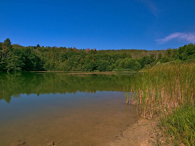
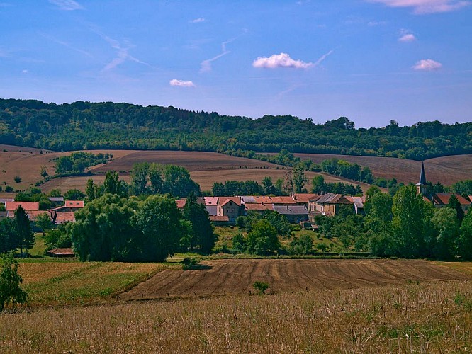
In this land of legends, with its vast forests, hamlets and villages nestled in the middle of clearings, and abbey ruins, it is said that a spring gushed forth at the spot where Charlemagne’s horse struck the ground with its hoof during a hunting party.
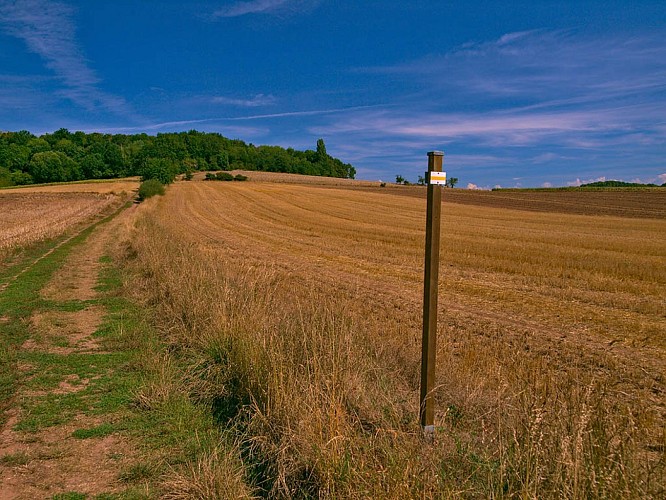
A very pleasant route along the course of a former railway which was used to supply the Maginot Line forts to the east.
Technical Information
Altimetric profile
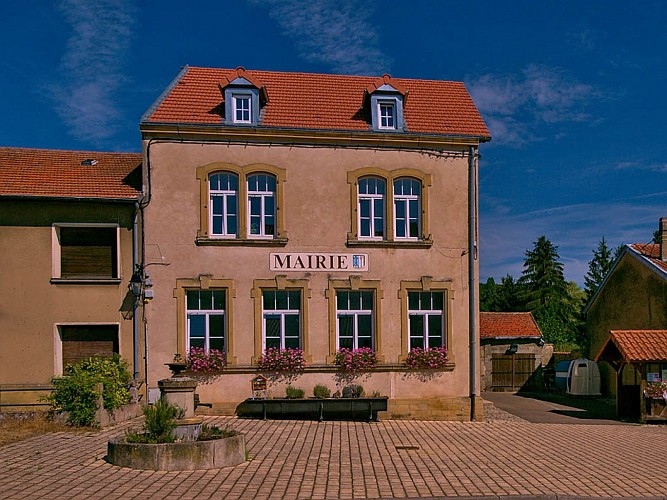
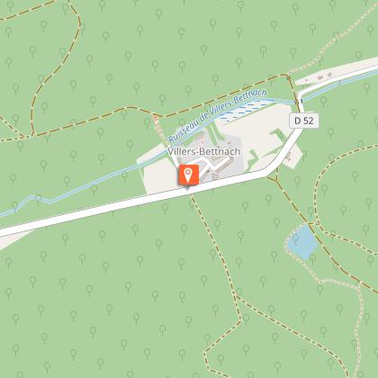
Starting point
Additional information
Producteur de la donnée
Ces informations sont issues de la plateforme SITLOR - Système d’Information Touristique - Lorraine
Elles sont synchronisées dans le cadre du partenariat entre Cirkwi, l’Agence régionale du Tourisme Grand Est et les membres du comité technique de Sitlor.
Contact
Tel : 03 87 39 00 00
Email : tourisme@inspire-metz.com
Data author
