Plan du Carrelet- Hiking
Description
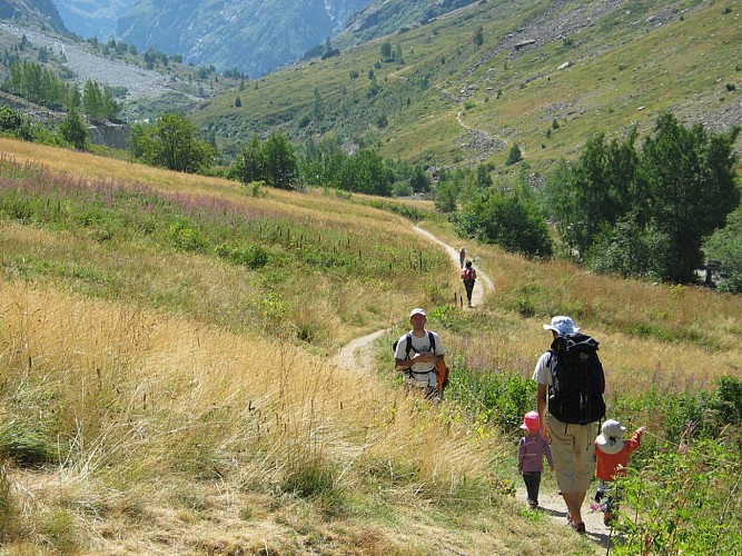
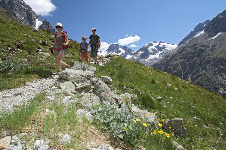
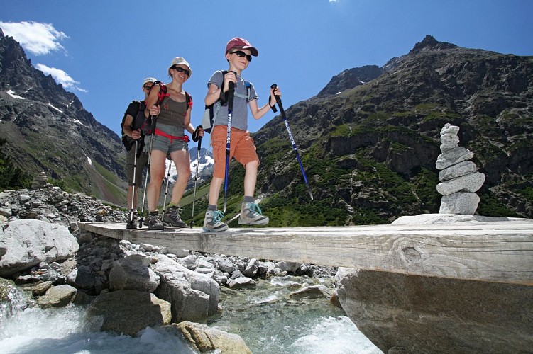
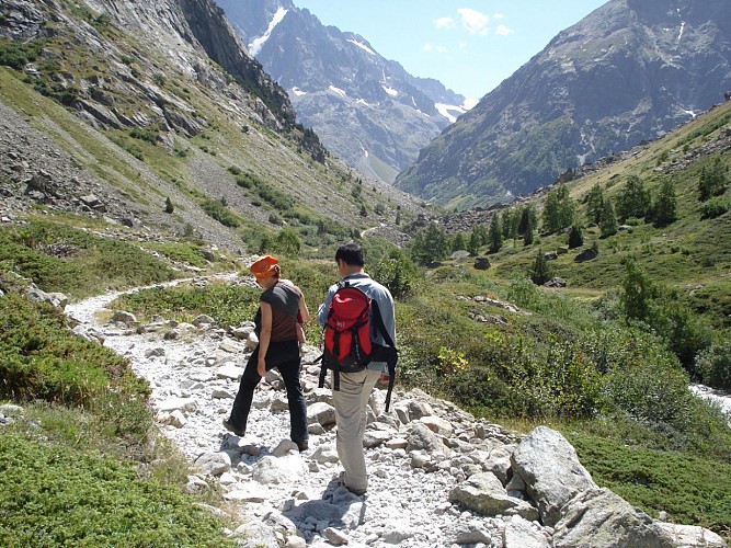
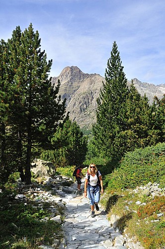
A perfect hike for exploring the Ecrins National park with the family! The gentle gradient allows children to hike and marvel at the surrounding high peaks and glaciers.
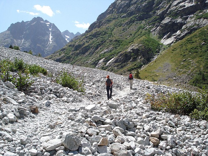
It's fairly easy to spot the marmots, of course, but hikers will also appreciate the mineral landscape, featuring rockfalls, avalanche corridors and extensive mountainside.
TECHNICAL INFORMATION
Starting point: La Bérarde
Height gain: 199 m
Total duration: 1 hour
Distance: 3.9 km
Level : Easy
ROUTE
Park in the lower car park in La Bérarde and walk up to the footpath ("Calade) to the village and the Maison de la Montagne. The path starts at the end of the road, just after the Maison de la Montagne, and is quite wide, passing through pastureland and over scree.
NEARBY
From the Refuge du Carrelet, you can carry on upwards to the Refuge de Temple Ecrins (1 1/2 hours). The path climbs steeply up, providing extensive views over the Vénéon valley and the Pilatte glacier. Another option is to continue on to the Refuge de la Pilatte (2 1/2 hours), right at the end of the valley.
EXTRA INFO
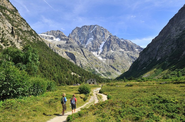
- The hut is located amongst pine trees in a flat area known as the Plan du Carrelet. The flowers are absolutely magnificent here in the early season! There is also a wonderful view over the side of the Ailfroide, while the Chardon valley leading to Les Rouies starts opposite the hut.
- Hikers can walk back to La Bérarde via the Chardon valley and then down the left-hand side of the Vénéon, but they should first check with the tourist office that the path is open, with the necessary footbridges in place.
Technical Information
Altimetric profile
Starting point
Steps
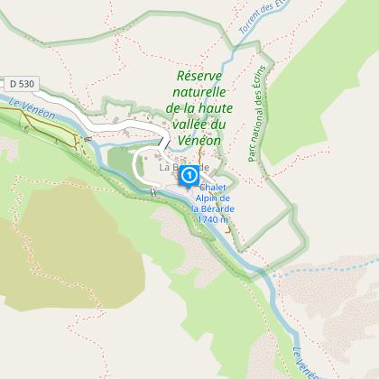
Départ du parking en-dessous du hameau de la Bérarde
Depuis le parking en-dessous de la Bérarde, monter dans le village en empruntant la calade. Puis longer la Maison de la montagne où l'Office de Tourisme et le Bureau des Guides vous accueillent.
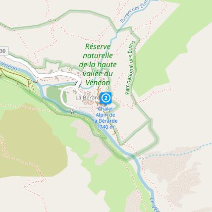
Départ du sentier au bout du hameau de la Bérarde.
Traverser le village jusqu'au bout. Les panneaux indiquent le Refuge du Carrelet, Temple Ecrins et la Pilatte.
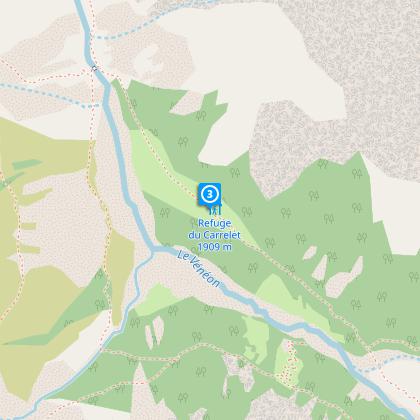
Refuge du Carrelet
Vous arrivez sur le Plan du Carrelet et au refuge du même nom. Son accès facile est idéal pour les enfants. Le sentier continue jusqu'au Refuge de Temple Ecrins ou de la Pilatte. Une boucle est possible par le Vallon du Chardon pour revenir à la Bérarde mais il faut s'assurer en amont que les passerelles soient bien en place.
Date and time
- From 15/05/2024 to 31/10/2024
Additional information
Location complements
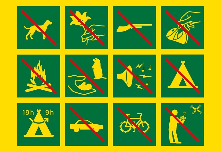
Inside the Ecrins National Park boundary; no dogs allowed.
Contact
Phone : 04 76 80 50 01
Email : info-berarde@oisans.com
Website :
www.oisans.com/stations-et-villages/saint-christophe-oisans-berarde/
rando.ecrins-parcnational.fr/trek/903478-le-refuge-du-carrelet
Open period
From 15/05 to 31/10.
Updated by
Oisans Tourisme - 29/03/2023
www.oisans.com
Report a problem
Data author
