Alert
Alerts
Hiking - Refuge et vallon de la Lavey
1 alert on this circuit
Alerte visiteurs
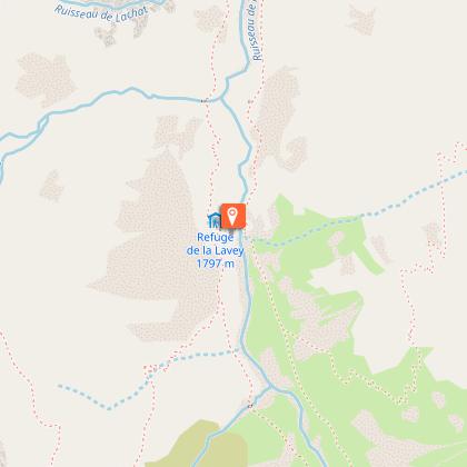
Refuge fermé jusqu'au printemps 2027.
⚠️ Du 4 juillet au 31 août 2026 : des interdictions de circulation et de stationnement sont mis en place sur la commune de Saint-Christophe-en-Oisans. Profitez pleinement des navettes estivales fonctionnant 7 j/7 pour rejoindre tous vos départs de sentiers ! Renseignez-vous sur : www.oisans.com/acces-a-la-vallee-du-veneon/

Description
Family hike along the Muande stream. Please note that the Lavey refuge is closed until spring 2027.
TECHNICAL INFORMATION
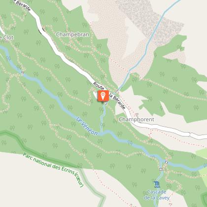
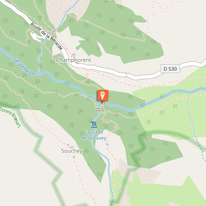
Start: Champhorent parking lot
Height difference: 400 m
Duration: 2 h 30 outward and 2 h 15 return
Distance: 9.4 km
Level :
Medium hike
MAP AND TOPO
IGN TOP 25 n°3336 ET
OBP n° 5 (Oisans au Bout des Pieds) trail 531-539
ITINERARY
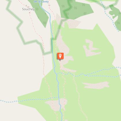
The parking lot is at the entrance to the hamlet of Champhorent (3 km after St Christophe en Oisans), below the road. Take the footpath at the end of the parking lot down to the Vénéon torrent and its magnificent Pont des Rajas. Cross the pretty stone bridge and climb towards the Rajas houses. Continue uphill to enter the Vallon de la Muande and follow the torrent on the right bank, then on the left bank after a second stone bridge. At the shepherd's hut, cross the gently sloping slabs to reach the refuge hidden behind this small glacial lock.
THE PARC DES ECRINS, A FRAGILE NATURAL ENVIRONMENT TO PROTECT
When hiking in the Parc des Ecrins, you must respect the regulations that allow you to enjoy this exceptional natural area: do not leave the trails, dogs are forbidden even on a leash, do not pick flowers or collect fossils, minerals, animals..., do not throw anything on the ground (bring your own garbage). Nature thanks you!
To see along the way
- the Pont des Rajas
- Lavey refuge
- L'olan, les Rouies
Technical Information
Altimetric profile
Starting point
Steps
Date and time
- From 15/05/2026 to 31/10/2026
- From 15/05/2027 to 31/10/2027
Additional information
Updated by
Oisans Tourisme - 04/07/2026
www.bike-oisans.com
Report a problem
Environments
Mountain view
Mountain location
Waterside
Presence of livestock and guard dogs
Waterfall view
Distinctions
Listed PDIPR
Open period
From 15/05 to 31/10 daily.
Subject to favorable snow and weather conditions.
Type of land
Stone
Ground
Contact
Phone : 04 76 80 50 01
Email : info-berarde@oisans.com
Facebook : https://www.facebook.com/OisansTourisme/
Topo guides and map references
Topo guides references :
Topo map OBP n°5 (Oisans au Bout des Pieds), trail 531-539
Map references :
IGN Top 25 map n°3336 ET
Animals
No. Itinerary in the Ecrins National Park.
Dogs not allowed, even on leash.
Data author
