Alert
Alerts
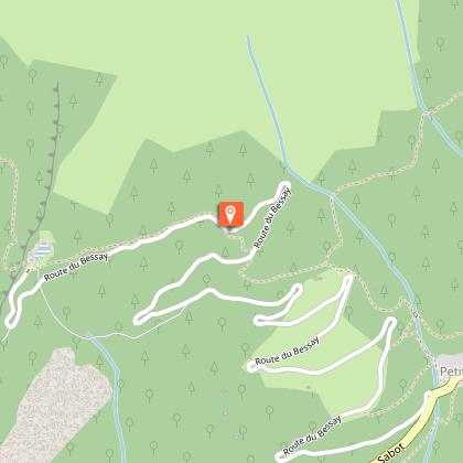
The Vaujany surge shafts
IGN cards


Description
This is a short route that takes you up above Vaujany. It’s a steep climb up on the road, but you will be rewarded by a lovely descent featuring a fine series of switchbacks. A really fun, forest route!
Route in the “MTB in Oisans” guide (Oisans Tourisme)
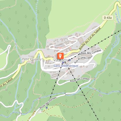
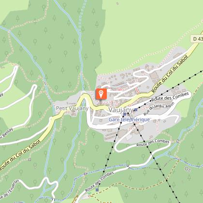
Departure / Arrival (loop): Vaujany 1250 m
Length: 1 1/2 hours
Distance : 8 km
Highest point: 1700 m
Lowest point: 1220 m
Total height gain: +496 m
Total height loss: -496 m
Technique: 3/4
Endurance : 3/4
Map: Top 25 Bourg d'Oisans et l'Alpe d'Huez 3335 ET
ROUTE
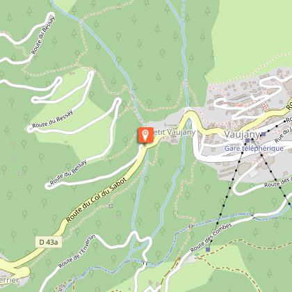
> From Vaujany, go down the main road, past the church on your left and take the small road (signposted «table d’orientation») that leads steeply off to your right.
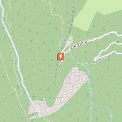
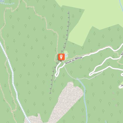
> That’s right – you’ve a 5-kilometre, one-hour climb ahead, sometimes reaching a 14% gradient!
> Take a breather at the viewpoint table, from which you can admire the Belledonne, the Eau d’Olle Valley and Les Grandes Rousses.
> When you get to the surge shafts, take the small path down to their right. This brings you back on to the tarmac road and then onto another path a little further down. There are some steep, quite technical sections ahead – a mountain-biker’s delight!
> Near la Combe Méare, you reach a junction, where you take the left-hand path which will bring you gently down to the centre of Vaujany, next to the bar/restaurant des Cimes.
Technical Information
Altimetric profile
Starting point
Steps

Additional information
Updated by
Office de Tourisme de Vaujany - 22/12/2025
www.vaujany.com/fr/
Report a problem
Environments
Mountain view
Mountain location
Open period
From 01/06 to 31/10 daily.
Contact
Phone : 04 76 80 72 37
Email : info@oisans.com
Website : https://www.bike-oisans.com
Topo guides and map references
Topo guides references :
Route in the “MTB in Oisans” guide (Oisans Tourisme)
Map references :
Top 25 Bourg d'Oisans et l'Alpe d'Huez 3335 ET
Location complements
Leave your car in the covered car park in Vaujany, in the center of the village, near the cable car station.
Data author
