The Rivier d'Allemond loop
Description
This route goes through the heart of the Eau d’Olle valley. It’s a steep climb up to Le Rivier-d’Allemond, but the lovely, fun descent down to le Mollard, with its many switchbacks, more than makes up for it.
Route in the “MTB in Oisans” guide (Oisans Tourisme)
Departure/Arrival (loop): Articol 1000 m
Length: 2 hours
Distance: 13 km
Highest point: 1494 m
Lowest point: 981 m
Total height gain: +610 m
Total height loss : -610 m
Technique: 3/4
Endurance: 3/4
Map: Top 25 Bourg d'Oisans et l'Alpe d'Huez 3335 ET
ROUTE
> Ride down the narrow road to Articol-le-Bas. Once at the bottom, take a path with several sharp climbs and join up with a narrow and very steep road leading up to Le Rivier d’Allemond.
> You can also reach Le Rivier by following the D526 road (less bucolic, but shorter).
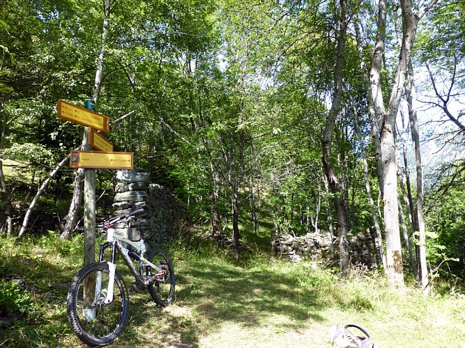
> Once in Le Rivier, follow the signs for La Chapelle and join the wide, fast GR 549. The track ends with a wooden bridge over the mountain stream.
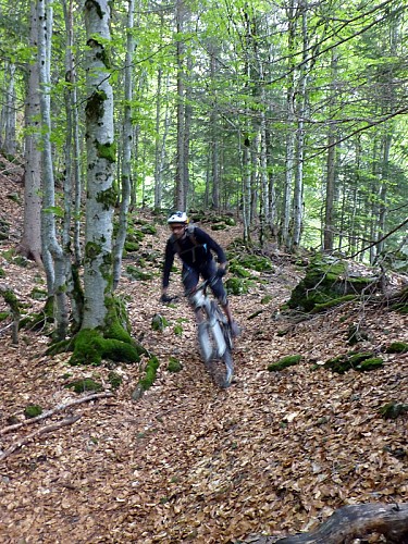
> The path continues, not as fast and even quite steep, but still fun to ride.
> You arrive at a first junction (the ruins of Le Gay), from where you carry straight on to the next bridge. Shortly afterwards, the path becomes steeper and you’ll need to push your bike for around 15 min up to the place known as «Sous le Clot du Mollard».
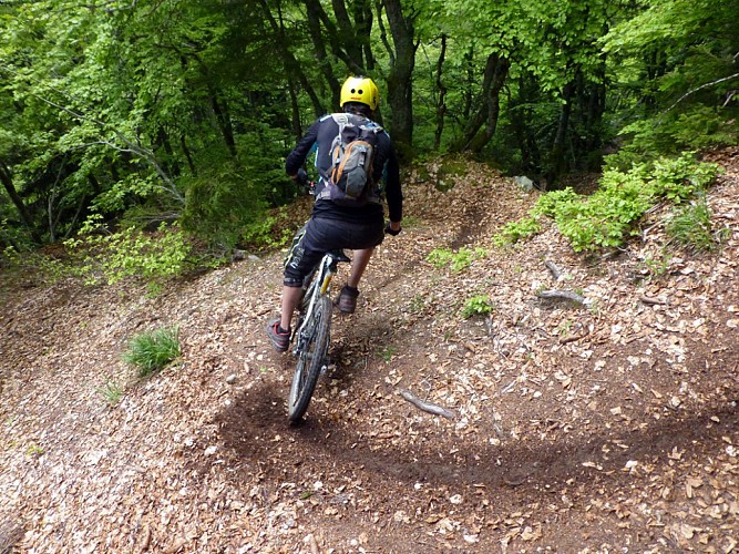
> The best part of the ride starts here, when you ride back down towards «Le Mollard» through woodland on a magnificent single track with sharp «made in Oisans» switchbacks. At the bottom, the path splits… It’s best to take the right-hand path, but both end up on the road leading to Le Mollard.
> Once on the road, turn left onto the Le Rivier d’Allemond road and ride up 250m back to Articol.
--------------
ALTERNATIVE: the descent to Articol
Or how to shorten the route, but still enjoy a lovely descent...
From the ruins of Le Gay (1322 m), turn left towards Articol. A magnificent 1 km singletrack with lovely switchbacks for sliding, winds its way down to the D526 road to Articol. Once back at the road, turn right for 100 m to get back to the car.
Technical informations
13 km
|
max. 1498 m
min. 972 m
610 m
610 m
| |||
Accessibility | ||||
Style : Mountain Public : Reserved for experts/confirmed | ||||
Altimetric profile
Starting point
Steps
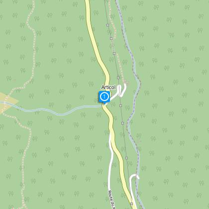
Départ / Arrivée : Articol
Se garer à Articol. Il y a un petit parking de 3 places sur le bord de la route ou alors vous pouvez descendre pour vous garer dans le hameau.
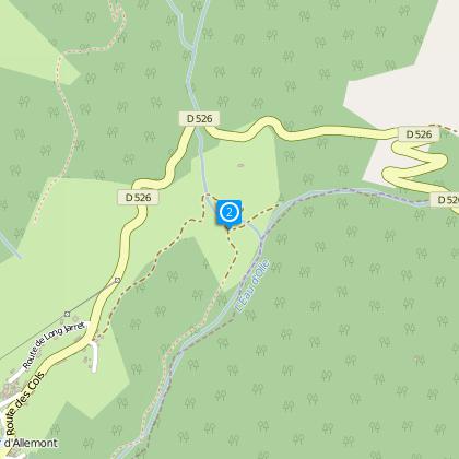
La route des Sagnes
Arrivé sur la route, une sévère grimpette vous attend jusqu'au Rivier.
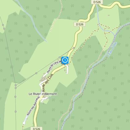
Le Rivier d'Allemont
From Le Rivier d’Allemont, go downhill, turning almost immediately right towards La Chapelle.
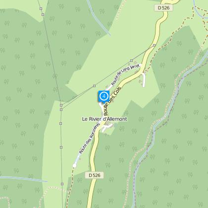
La Chapelle
After a kilometre on the tarmac, join the wide, fast GR 549.
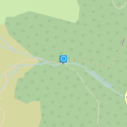
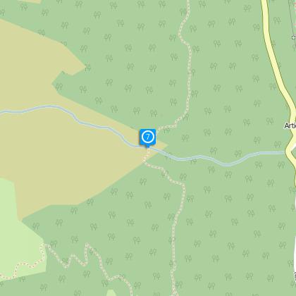
Prasserelle du Frénet
Passer le torrent du Fénet par la passerelle.
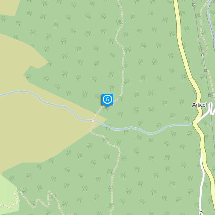
Alternative route : to reach Articol follow the path on the left
Take on the right path to continue the route towards Le Mollard. Alternative route : For a shorter route (if you park at Articol), join “Articol” on a magnificent singletrack in the woods with a series of tight “Made in Oisans” switchbacks.
Ruisseau d'Articol
Après la passerelle, le sentier continue, moins roulant et devient même assez raide. Pousser le vélo pendant 15 min jusqu'en haut.
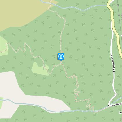
Sous le Clot du Mollard (1488 m)
Vous voici au sommet du parcours. Continuer tout droit en direction du Mollard puis place au pilotage sur une descente en sous bois d'1,8 km rythmée par une belle série d'épingles juste comme il faut jusqu'au Mollard.
Gauche ou droite ?
L'itinéraire principal continu tout droit. Le chemin de gauche est tentant mais vous finirez dans les broussailles ... Mais au final vous retomberez sur la route du Mollard.
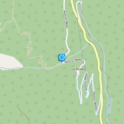
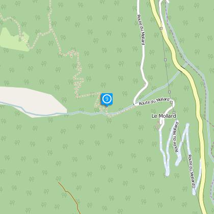
Le Mollard road
Turn right, go through the hamlet of Mollard and ride down by the road to the D526.
Date and time
- From 01/06/2024 to 31/10/2024
- From 01/06/2025 to 31/10/2025
Additional information
Updated by
Oisans Tourisme - 08/04/2024
www.oisans.com
Report a problem
Environments
Mountain location
Close to GR footpath
Mountain view
Open period
From 01/06 to 31/10.
Subject to favorable snow and weather conditions.
Contact
Phone : 04 76 80 71 60
Email : info@oisans.com
Website : www.bike-oisans.com
Topo guides and map references
Topo guides references :
Route in the “MTB in Oisans” guide (Oisans Tourisme)
Map references :
Top 25 Bourg d'Oisans and l'Alpe d'Huez 3335 ET
Location complements
Park in Articol, where there are spaces for three cars along the side of the road, or else drive down and park in the village
Data author
