Alert
Alerts
Hike along the Berlou trails


Description
Duration: 3 hours 30 minutes – Distance: 11.5 km
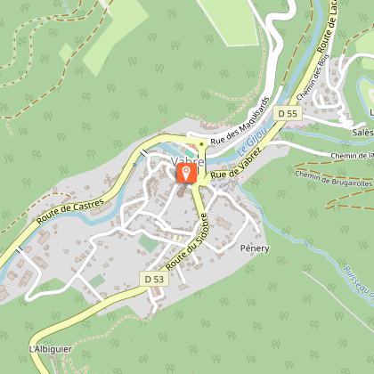
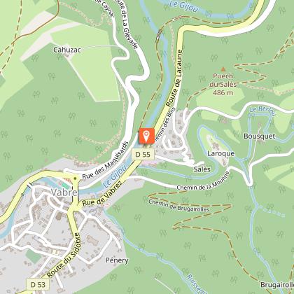
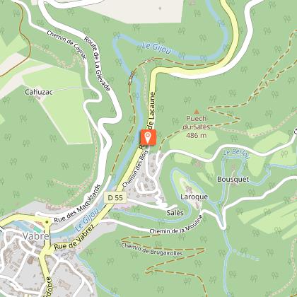
The route starts in Vabre, a village with a rich heritage. It then follows the Gijou and Berlou rivers before climbing up to the ridges, where you can enjoy stunning panoramic views.
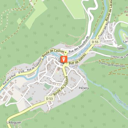
Car park GPS coordinates: 43.693003, 2.425250
Walk along the paths near Berlou.
In Vabre, you’ll discover a rich heritage: the ‘Trauc de la Campana’ (a 13th-century belfry), the church (one of the largest in France), listed 17th-century houses, the Pont Neuf (1850) and wash houses.
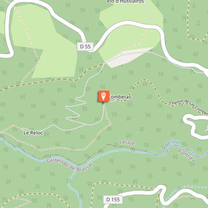
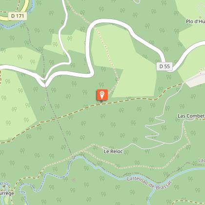
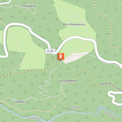
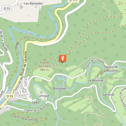
The trail continues along the Gijou valley and then the Berlou valley, passing through its pretty hamlets. After La Reloc, the route leaves the valley to climb through the forest towards the ridges. From the ridges, as you descend towards Vabre, you can enjoy views of: the Berlou valley, the Montagnol forest, then the Gijou valley and Vabre.
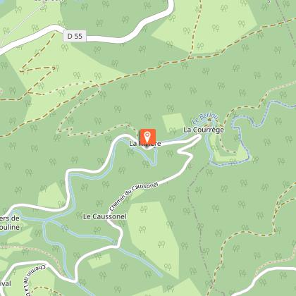
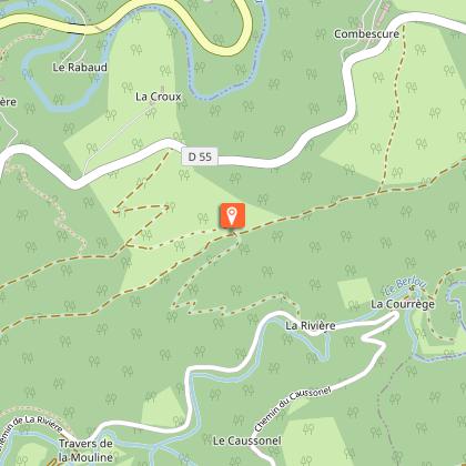
At the hamlet of La Rivière, there is the option of a shorter route by turning right. Distance: 6 km – Duration: 2 hours
You can find full details of the route by downloading the attached PDF.
Technical Information
Altimetric profile
Starting point
Steps
Points of interest
Additional information
Environments
Riverside
Waterside
Close to GR footpath
Overview on river
Forest location
30 - 40 min from a train station by car
Less than 10 minutes from a bus stop on foot
In the country
Village centre
Close to a public transportation
Bus stop < 500 m
Updated by
Office de Tourisme Sidobre Vals et Plateaux - 31/08/2026
www.sidobre-vallees-tourisme.com/
Report a problem
Open period
All year round daily.
Contact
Phone : 05 63 74 63 38
Email : accueil@sidobretourisme.fr
Website : https://www.sidobre-vallees-tourisme.com/
Type of land
Stone
Ground
Not suitable for strollers
Animals
Yes
Data author
