Alert
Alerts
The Camboussel path
Description
Duration: 1 hour – Distance: 3 km – Return
A one-hour walk along the Agout river, with a superb view at the end of the walk following a steep climb.
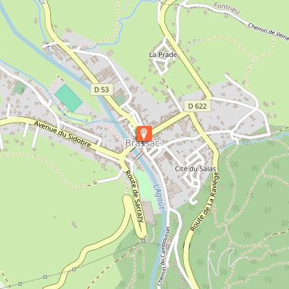
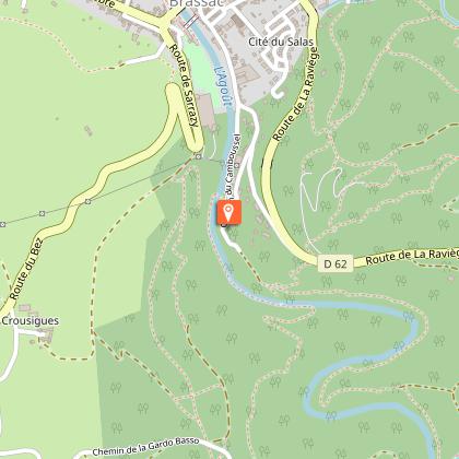
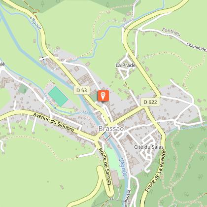
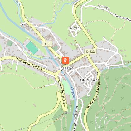
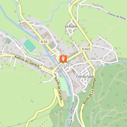
Car park GPS coordinates: 43.623, 2.4965
An ideal trail for a stroll along the River Brassac, and even right in the middle of it at times, thanks to the numerous rocks along the way. It will take a little effort to reach the magnificent viewpoint overlooking the Agout Valley.
You can find full details of the route by downloading the attached PDF file.
Technical Information
Altimetric profile
Starting point
Steps
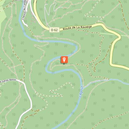
Points of interest
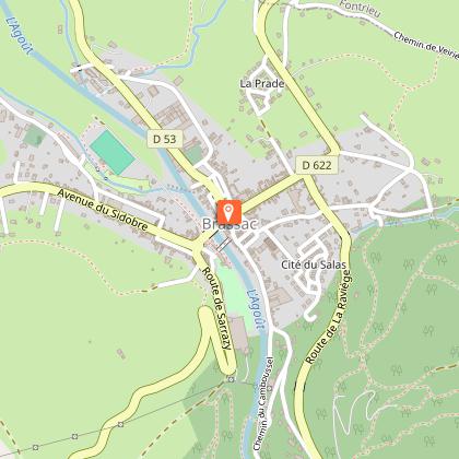
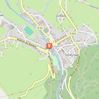
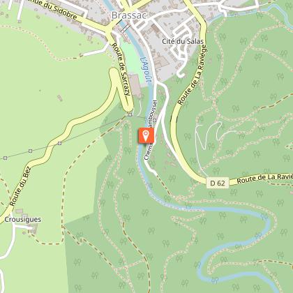
Additional information
Updated by
Office de Tourisme Sidobre Vals et Plateaux - 11/09/2026
www.sidobre-vallees-tourisme.com/
Report a problem
Environments
Forest location
Overview on river
20 - 30 min from a train station by car
Less than 10 minutes from a bus stop on foot
Open period
All year round daily.
Contact
Phone :
05 63 74 63 38
05 63 74 00 18
Email : accueil@sidobretourisme.fr
Website : https://www.sidobre-vallees-tourisme.com/
Type of land
Not suitable for strollers
Rock
Ground
Reception complements
Parking, Pets allowed, Free access, All year round
Animals
Yes
Data author
