Alert
Alerts
Path of Remembrance
Description
Duration: 1 hour 15 minutes – Distance: 3 km
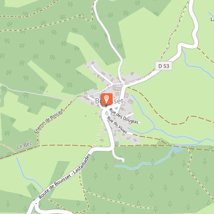
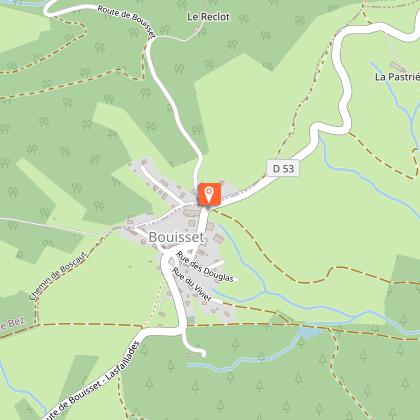
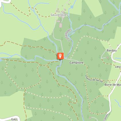
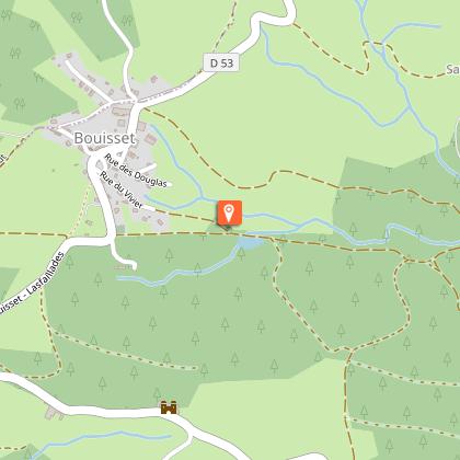
This route partly follows the route of the GR653 Way of St James. It is also one of the few flat trails in the region.
Car park GPS coordinates: 43.623, 2.4932
This short interpretive trail, focusing on the Sidobre Free Corps and the Maquis during the Second World War, takes you along part of the Way of St James.
Before setting off, we recommend a quick detour to the Lannet charcuterie to sample some local specialities!
(At the entrance to the village, heading towards Mazamet).
Picnic area in the hamlet or next to the small lake.
You can find full details of the route by downloading the attached PDF file.
Technical Information
Altimetric profile
Starting point
Steps
Additional information
Environments
In the country
Lakeside or by stretch of water
Waterside
20 - 30 min from a train station by car
Updated by
Office de Tourisme Sidobre Vals et Plateaux - 05/10/2026
www.sidobre-vallees-tourisme.com/
Report a problem
Open period
All year round daily.
Contact
Phone : 05 63 74 63 38
Email : accueil@sidobretourisme.fr
Website : https://www.sidobre-vallees-tourisme.com/
Type of land
Ground
Suitable for all terrain strollers
Animals
Yes
Data author
