Alert
Alerts
Hiking between boating and forest
Description
This route is labeled and marked in yellow by the CODERANDO77.
Possibility of departure from Saint-Mammès train station (500 meters).
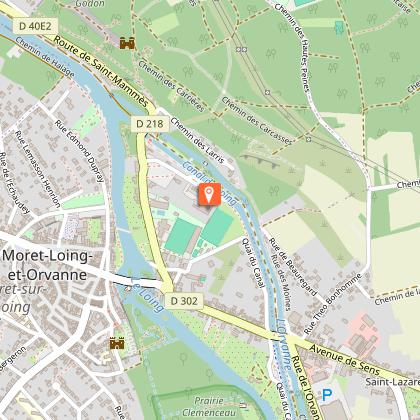
The development of the village of Saint-Mammès, located at the confluence of the Seine and the Loing, was closely linked to the growth of the inland waterway industry and this, from the opening of the Loing canal in 1726. It is therefore at the a petty world that the commune owes its present physiognomy, very atypical. Discover this particular universe along a route that will take you between river, river, canal, river stop and locks, in the cool undergrowth and boatmen gardens.
Technical Information
Altimetric profile
Starting point
Points of interest


Additional information
Updated by
Communauté de Communes Moret Seine et Loing - 26/09/2025
www.ccmsl.fr/
Report a problem
Open period
All year round daily.
Contact
Phone :
01 60 39 60 69
01 60 70 41 66
Email :
seine-et-marne@ffrandonnee.fr
tourisme@ccmsl.com
Website :
www.randonnee-77.com/
www.msl-tourisme.fr
Animals
Yes
Data author
