Alert
Alerts
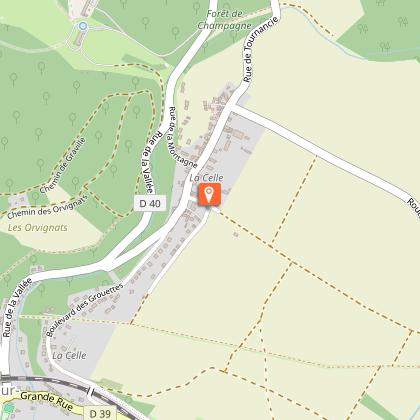
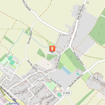
Hiking around the mountain of Vernou-La Celle
Description
This route is labelled and marked in yellow by the CODERANDO77.
Other possible departure : Swimmingpool Collinettes.
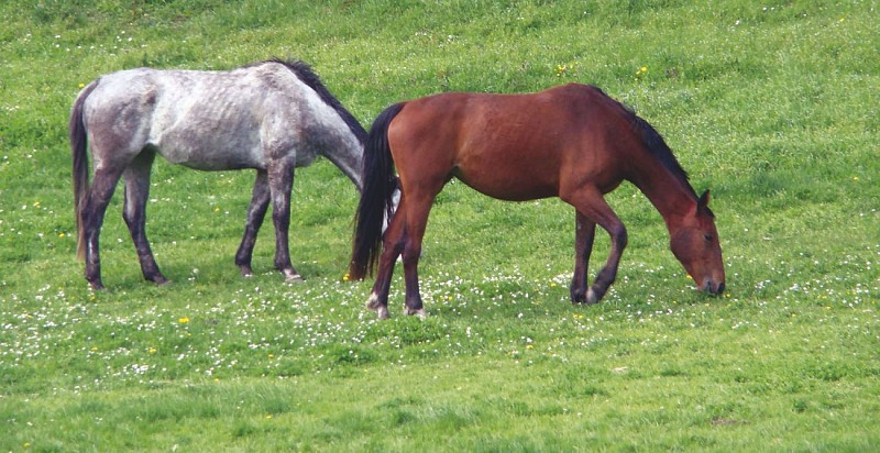
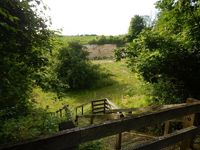
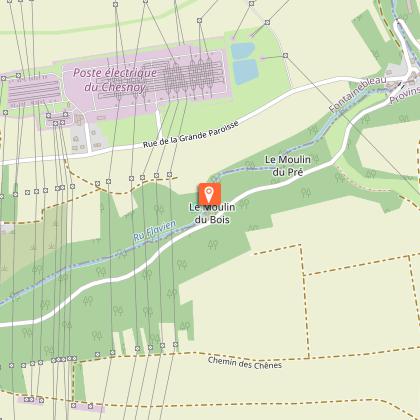
Wide loop around the Mont de Vernou, highest point of the Seine-et-Marne southwest (146 m altitude), this circuit will make you discover, in an alternation of forest and countryside sequences, the various hamlets of the town as well as the charming valley of the ru Flavien, known as the Seven Mills.
Technical Information
Altimetric profile
Starting point
Points of interest


Additional information
Environments
Forest location
Station district
Close to a public transportation
Village centre
Waterside
In a nature reserve
Updated by
Communauté de Communes Moret Seine et Loing - 26/09/2025
www.ccmsl.fr/
Report a problem
Open period
All year round daily.
Contact
Phone :
01 60 39 60 69
01 60 70 41 66
Email :
seine-et-marne@ffrandonnee.fr
tourisme@ccmsl.com
Website :
www.randonnee-77.com/
www.msl-tourisme.fr
Animals
Yes
Data author
