Alert
Alerts
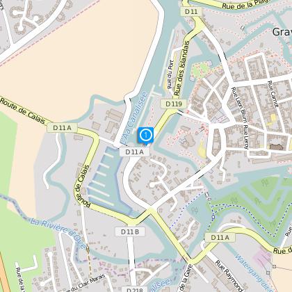
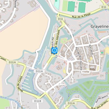
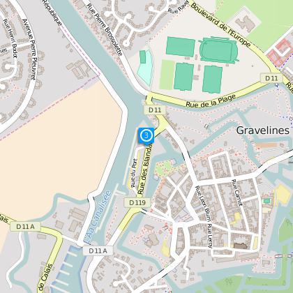
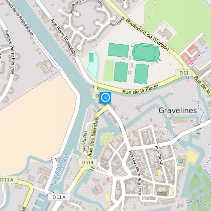
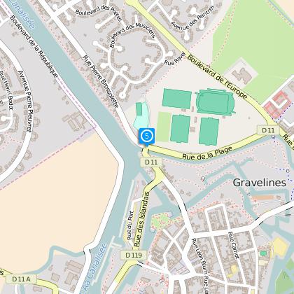
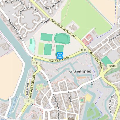
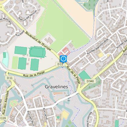
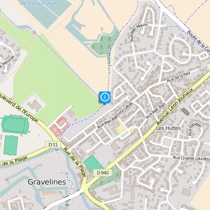
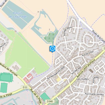
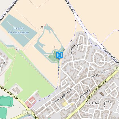
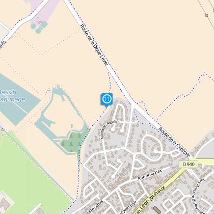
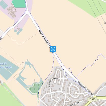
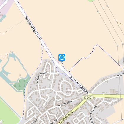
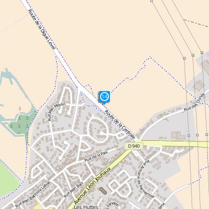
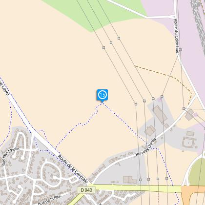
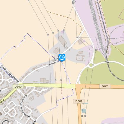
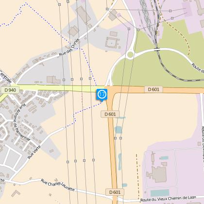
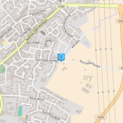
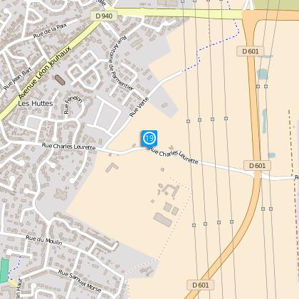
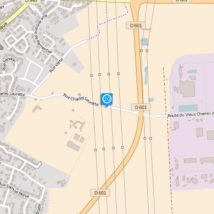
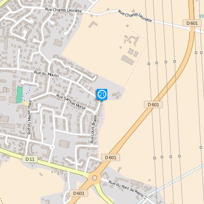
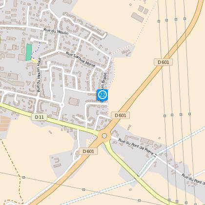
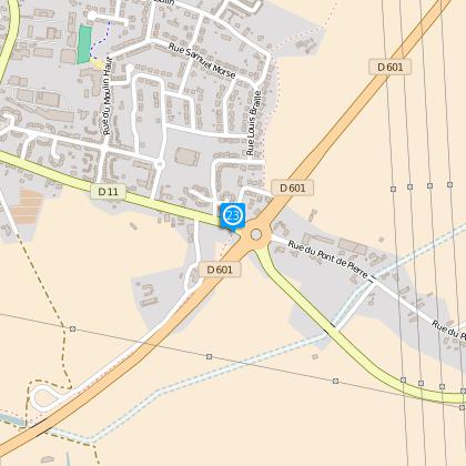
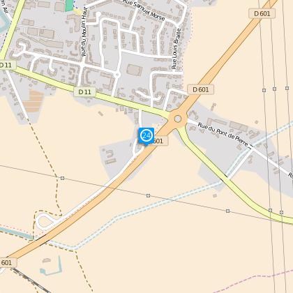
Gravelines from yesterday to today
The Cirkwi brief
Embark on a voyage crafted by OT Gravelines that stitches the quaint charm of past and present. This walking guide through Gravelines takes you through a scenic route, unraveling stories woven in the very fabric of the town. Experience the allure of traversing between varying altitudes, albeit subtly, as you move from historied cobblestones to serene water views. The creator of this itinerary invites you on a gentle yet intriguing exploration, painting a vivid picture of a town cradled between the whispers of history and the embrace of natural beauty.
Technical Overview: Key Stats Unveiled
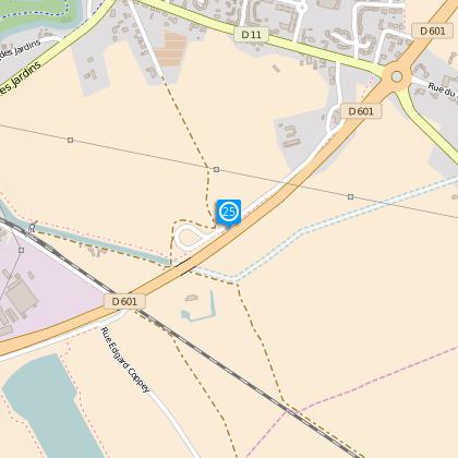
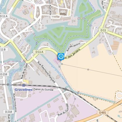
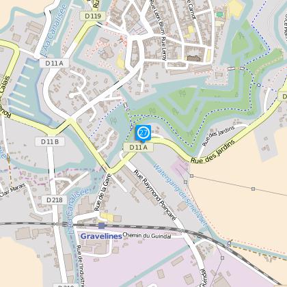
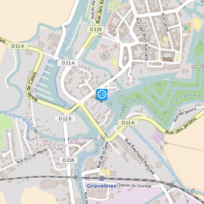
The route spans 9.58 kilometers, marked with a minimal altitude fluctuation ranging from 1 to 6 meters above sea level. This gentle relief characterizes the journey, making it accessible to many. A total ascent and descent equaling 25 meters each highlight its relatively flat terrain. Such specs underscore the route’s feasibility for walkers of all skill levels, emphasizing comfort over challenge in the scenic voyage across Gravelines.
Seasonal Tips for Every Traveler
Regardless of the season, Gravelines greets with unique charms, though certain preparations enhance the experience. Spring and autumn offer mild weather, perfect for leisurely exploration; lightweight layers are advisable. Summer, while warmer, invites longer daylight strolls; hydration and sun protection are key. Winter months, though cooler, present the town in a different light; ensure warmth with adequate clothing. Always respect local guidelines and tread lightly on shared pathways to preserve the beauty accessible to everyone who visits.
Gravelines: Heart of the Nord-Pas-de-Calais
Gravelines, nestled in the French region of Nord-Pas-de-Calais, presents a rich tapestry of cultural and historical significance. This town, once a strategic port, played pivotal roles from medieval sieges to pivotal points in maritime history. Its architecture and fortifications tell tales of resilience and transformation, making it an essential chapter in understanding the region's past. Gravelines is not just a witness to history but a lively participant in the cultural dialogue of the Nord-Pas-de-Calais.
Weather Patterns and Ideal Visits
The climate in Gravelines aligns with the prevailing Northern France conditions, experiencing mild summers and cool winters. Precipitation is fairly distributed throughout the year, with a slight increase during late autumn and winter months. For those seeking the most comfortable weather conditions, late spring to early autumn offers an ideal window. This period promises pleasant temperatures and a lower chance of rain, making it the prime time for exploring Gravelines' scenic wonders and historical treasures.