Alert
Alerts
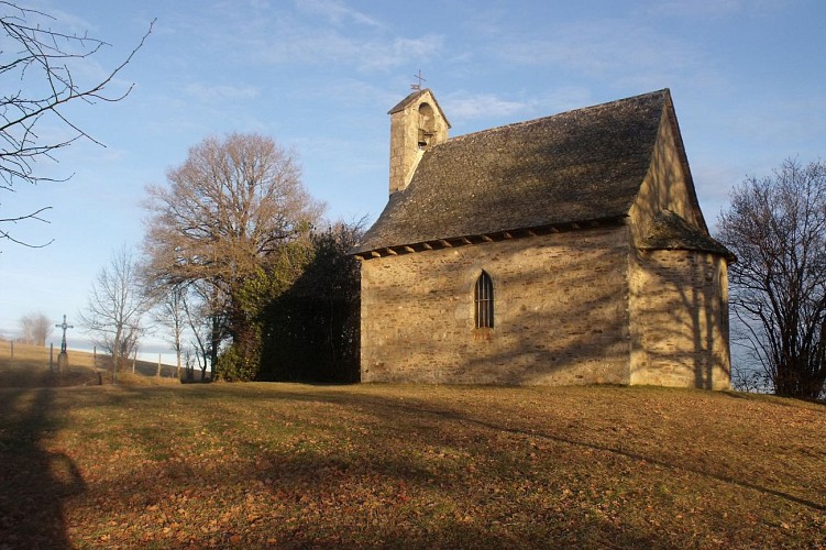
Hiking trail - Le Pont de Pode
Description
Hiking trail "Le Pont de Pode".
A one and a half hour walk to discover the immediate surroundings of the village. A pleasant walk in the forest with a breathtaking view of the Mounts of Cantal at Prantignac at 691 m altitude.
This fact sheet is one of 55 available individually (€0.50) at each Visitors Bureau of the Châtaigneraie Cantalienne or to be downloaded from the Cantal Rando & Découverte app.
Technical Information
Altimetric profile
Starting point

Additional information
Environments
Riverside
Mountain view
Forest location
Waterside
In the country
Updated by
Office de Tourisme de la Châtaigneraie Cantalienne - 17/04/2026
www.chataigneraie-cantal.com
Report a problem
Open period
All year round.
Subject to favorable weather.
Contact
Phone : 04 71 46 94 82
Email : info@chataigneraie-cantal.com
Website : https://chataigneraie-cantal.com
Facebook : https://www.facebook.com/otchataigneraie.cantal
Type of land
Ground
Hard coating (tar, cement, flooring)
Not suitable for strollers
Animals
Yes
