Alert
Alerts
Hiking trail - Le Chemin des Pradelles


IGN cards


Description
The Pradelles hiking trail.
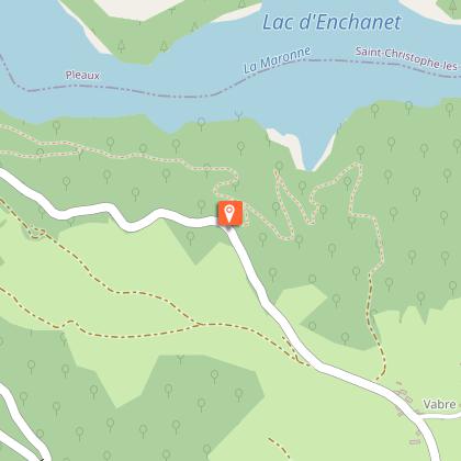
This pleasant trail offers many views of Enchanet Lake, which stretches for over 13 km. You will enjoy the brightness and calm of its waters, as well as the beauty of its steep and wooded banks.
Between points 3 and 4, you will discover a geological curiosity: a volcanic chimney formed of black rocks (basalt).
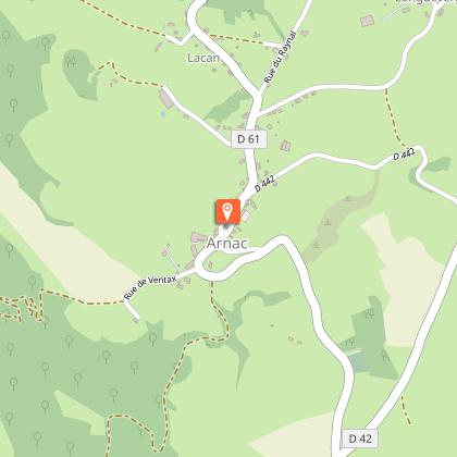
Combined with the Le Pont du Rouffet route (junction at Arnac), Le Chemin des Pradelles forms an 18.8 km double loop.
This fact sheet is one of 55 available individually (€0.50) at each Visitors Bureau of the Châtaigneraie Cantalienne or to be downloaded from the Cantal Rando & Découverte app.
Technical Information
Altimetric profile
Starting point
Points of interest
Additional information
Updated by
Office de Tourisme de la Châtaigneraie Cantalienne - 02/09/2025
www.chataigneraie-cantal.com
Report a problem
Open period
All year round.
Subject to favorable weather.
Contact
Phone : 04 71 46 94 82
Email : info@chataigneraie-cantal.com
Website : chataigneraie-cantal.com
Facebook : www.facebook.com/otchataigneraie.cantal
Twitter : twitter.com/otchataigneraie
Type of land
Ground
Hard coating (tar, cement, flooring)
Not suitable for strollers
Animals
Yes


