Alert
Alerts
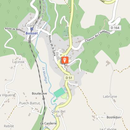
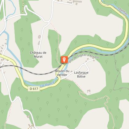
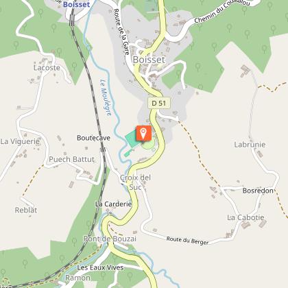
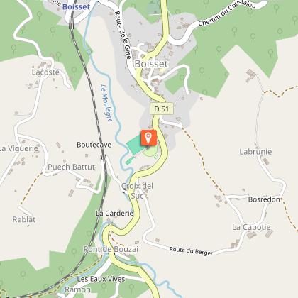
Hiking trail - Le Bouzaï
IGN cards


Description
Hiking trail "Le Bouzaï".
This pleasant hike starts on the road from Boisset to Aurillac, near the place called Concasty, and takes you along the banks of the Bouzaï stream, which you will cross twice at the Cassan and Boissadel bridges.
This fact sheet is one of 55 available individually (€0.50) at each Visitors Bureau of the Châtaigneraie Cantalienne or to be downloaded from the Cantal Rando & Découverte app.
Technical Information
Altimetric profile
Starting point
Points of interest
Additional information
Environments
In the country
Riverside
Forest location
Waterside
Updated by
Office de Tourisme de la Châtaigneraie Cantalienne - 24/11/2025
www.chataigneraie-cantal.com
Report a problem
Open period
All year round.
Subject to favorable weather.
Contact
Phone : 04 71 46 94 82
Email : info@chataigneraie-cantal.com
Website : https://chataigneraie-cantal.com
Facebook : https://www.facebook.com/otchataigneraie.cantal
Type of land
Ground
Hard coating (tar, cement, flooring)
Not suitable for strollers
Animals
Yes
