Alert
Alerts
Hiking trail - La Font Salada

Description
Hiking trail "La Font Salada".
This pleasant route, always on unpaved paths, crosses the Fontsalade stream from its source to its confluence with the Maurs near the highlight of the route: the mineral fountain of Fontsalade (from the Occitan word for "salty fountain").
This fact sheet is one of 55 available individually (€0.50) at each Visitors Bureau of the Châtaigneraie Cantalienne or to be downloaded from the Cantal Rando & Découverte app.
Technical Information
Altimetric profile
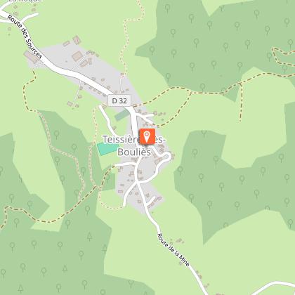
Starting point
Additional information
Environments
In the country
Riverside
Forest location
Village centre
Waterside
Updated by
Office de Tourisme de la Châtaigneraie Cantalienne - 17/04/2026
www.chataigneraie-cantal.com
Report a problem
Open period
All year round.
Subject to favorable weather.
Contact
Phone : 04 71 46 94 82
Email : info@chataigneraie-cantal.com
Website : https://chataigneraie-cantal.com
Facebook : https://www.facebook.com/otchataigneraie.cantal
Type of land
Ground
Not suitable for strollers
Animals
Yes
