Alert
Alerts
The Crosses Circuit

IGN cards


Description
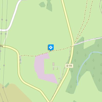
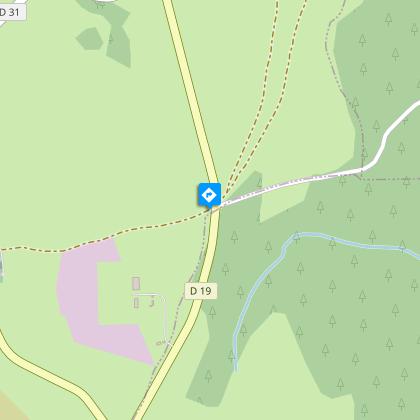
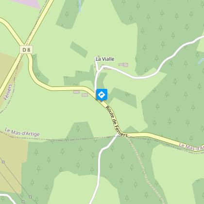
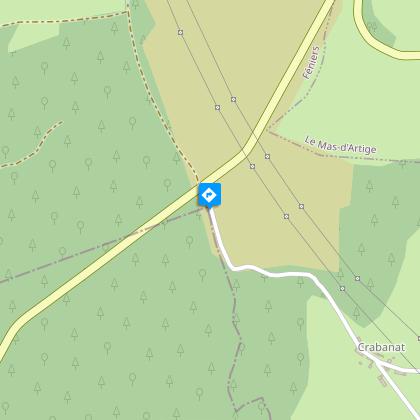
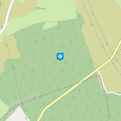
Set out on along paths where you can discover the crosses of the Plateau de Millevaches, sober and moving witnesses to the people's faith.Depart from the church square. Go down the D 8 towards Le Moulin.At the end of the village, turn left down the side road. Cross the Creuse then take the track to the right. At the next crossroads, take the track to the right. Follow it straight ahead to return to the D8.Take the road to the right and cross the stream again. On the left at an abandoned road, take the uphill path to the D8. Follow it to the right; then, when you reach the cross at the village entrance, follow the road to the left. Continue straight ahead until you reach the power line and then turn right down the path.Take the road to the left. At the cemetery, go up on the left by the track that runs alongside the solar energy park. Cross the D36 to take the track opposite. 200m. further on, take a forest path on the right that leads to La Vialle.Enter the village and take the road on the right. At the next crossroads, take the departmental road on the left. At the crossroads with the road to Crabanat, go ahead and then immediately take the path below the road. Follow it for quite a long time. It begins a descent: at the Y-junction, take the path on the right that goes up.Take the road to the right. In Crabanat, take the road on the left (when you get to the top of the meadow, turn around for a view of the Sancy and Cantal massifs) and go on to the D36.Cross over and continue on the track ahead. A little further on, turn left (10 mins) towards the source of the Creuse river. Continue on the track straight ahead to get back to Féniers.
Technical Information
Altimetric profile
Starting point
Steps
Points of interest


Additional information
Advised parking
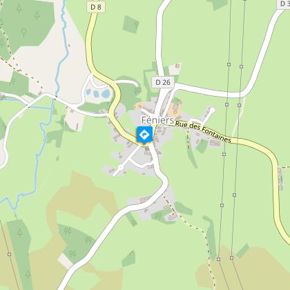
Church Square, Féniers
Advice
Shooting takes place regularly close to the military camp at La Courtine. Don't worry, it only happens inside the military compound.
Access
Follow the D36 that links Felletin to Meymac. Féniers is 1 km away from this axis on the road to Gentioux.
Ambiance
Departing from the church square, discover the old machines of a mill under the communal wash-house, and then the hike makes a loop through the Rebeyrolle. At the highest point of the route, an altitude of 880 m, on a clear day, look at the view of the Monts d'Auvergne, before going through the hamlet of La Vialle, in the commune of Mas d'Artiges. On the way back to Féniers, detour to the source of Creuse. Throughout the trip, you will find crosses, hence the name given to this walk.
Arrival
Church Square, Féniers
Departure
Church Square, Féniers
