Alert
Alerts
Vallon de La Rocheure

IGN cards


Description
A family route in an open valley steeped in the history of man’s settlement in the alpine pasture where many alpine species can be observed.
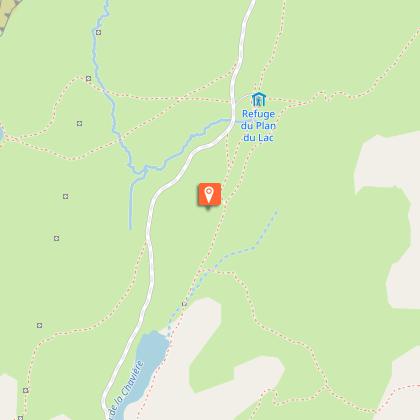
From Bellecombe car park (2,307 m in altitude), head in the direction of the Refuges of Plan du Lac and Femma. Go along the Lac de Plan du Lac (2,365 m in altitude) before arriving at the refuge of the same name. Take the trail leading north-east in the direction of the Refuge de la Femma. This path crosses a rock glacier then turns east at the Trou du Chaudron. A downward crossing leads to the bottom of the valley, at the junction with the vehicle track of La Rocheure. (2,180 m in altitude). Follow the path to the east, pass in front of the chapel of Saint-Jacques and cross the bridge over the Doron before arriving at the Chalet de La Rocheure (2,250 m in altitude). At the chalet, the track stops and turns into an easy path to the Refuge de La Femma (2,352 m), destination of the route. The return journey follows the same path with a possible variation.
Technical Information
Altimetric profile
Starting point
Points of interest


Additional information
Advised parking
In summer, park at Termignon, then take the free shuttle bus to Bellecombe. In the off season, park at Bellecombe car park.
Public transport
" Rail connection to Modane. Information: www.voyages-sncf.com Then transport by coach to the administrative centre of Termignon. Information: www.transavoie.com Then free shuttle bus Termignon-Bellecombe, from July to August and the weekends from 15th June to 14th September. Shuttle bus information: www.termignon.haute-maurienne-vanoise.com/pratique/se-deplacer-sans-voiture Suggested hitchhiking organised in the Haute-Maurienne valley. Information: www.rezopouce.fr "
Is in the midst of the park
The national park is an unrestricted natural area but subjected to regulations which must be known by all visitors.
Accessibility infrastructure
Traffic licence to the Refuge-Porte de Plan du Lac to be requested at the National Park for those with disabilities. Disabled car park spaces available at the refuge.
Access
From Termignon, head in the direction of Lanslebourg. Go on for about 500 m, then at the hairpin bend, cross the main road and head in the direction of Bellecombe car park.
Arrival
Bellecombe car park, Termignon
Ambiance
“What a surprise to discover the alpine pastures in this lost valley, steeped in history and the endeavours of farmers across time. Human presence is implicit, nature is omnipresent, not mastered but humbly tamed by generations of mountain dwellers.” Jean-Luc Étiévant, Vanoise National Park ranger
Departure
Bellecombe car park, Termignon
Data author
