Alert
Alerts
Tour of Lac du Lou

Description
The delightful tranquillity of the mountain lakes is the perfect antidote to the hustle and bustle of human activity .
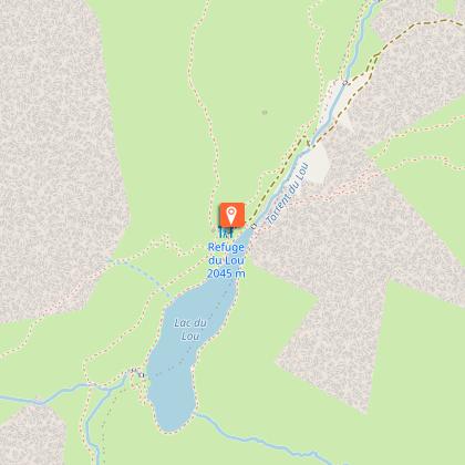
From the car park, take the path that rises to the balcony above the Plan de l´Eau and follow it to the Refuge du Lac du Lou (about 1 hour). From the refuge, join the lake edge (2,035m) and take the path that runs to the right. Cross the ´Revers´ torrent over the long footbridge. After this, the trail rises on a promontory (belvedere) and then gœs back down to the left where it runs once again along the edge of the lake. Continue this way on the bank to then cross the footbridge under the refuge and join the ascent path to the refuge. The car park is only about 1 hour downhill.
Technical Information
Altimetric profile
Starting point
Points of interest


Additional information
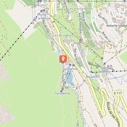
Departure
Plan de l'Eau des Bruyères car park
Arrival
Plan de l'Eau des Bruyères car park
Ambiance
The convenient and steady path makes up for the difference in height. The soul of the natural site is brought by the calm waters of Lac du Lou.
Access
From Moutiers take the D117 in the direction of the “Vallée des Belleville”. Pass Saint-Jean-de-Belleville, then Saint-Martin-de-Belleville. At the roundabout of Ménuires continue in the direction of Val Thorens. The Plan de l´Eau des Bruyères car park is located approximately 150 m after Lugeland and at the departure of the Bruyères track on the right.
Accessibility infrastructure
Adapted toilet facilities, comfort walk accessible to those with reduced mobility around Lac des Bruyères
Advised parking
Plan de l'Eau des Bruyères car park
Public transport
Rail connection to Moûtiers. Information: www.voyages-sncf.com. Then transport by coach to Ménuires. Information: www.transavoie.com Free shuttle buses to the “Vallée des Belleville” Information: transdev Savoie. Departure for the hike approximately 1km from the village centre.
Advice
Families and individuals who aren’t particularly athletic may be content with the return journey to the refuge where they can benefit from the magnificent sight of the lake and the valley.
Data author
