Alert
Alerts
Lac du Génépy

IGN cards


Description
From the cembra pine forest to the glacial cirque, a journey of 3,000 km to to the north over a 3 hour walk.
"From the car park, follow the route of the Refuge de la Dent Parrachée. Behind it, the trail is indicated by the National Park’s yellow signs.Follow the direction for ""Lac du Génépy"". After about 30 minutes, cross the footbridge and continue the trail to the lake. To return, follow the same path. Just before the Refuge de la Dent Parrachée, turn right towards the Fond d´Aussois. Be careful, after 300 m, a short passage requires vigilance. Follow the trail to a footbridge that you leave on its right and continue south to the GR5 intersection. Then turn right and go down to the bridge you have to cross, follow the direction for Aussois until the Plan d´Amont dam from where you reach the car park."
Technical Information
Altimetric profile
Starting point
Points of interest


Additional information
Public transport
" Rail connection to Modane. Information: www.voyages-sncf.com Then transport by coach to the administrative centre of Aussois. Information: www.transavoie.com No public transport between Aussois and the dam site. Suggested hitchhiking organised in the Haute-Maurienne valley. Information: www.rezopouce.fr "
Advice
High mountain route to be prepared in advance. Make sure you have the appropriate equipment and footwear and an IGN map for navigating. The weather in the mountains can change very quickly and you should turn around if it is bad.
Is in the midst of the park
The national park is an unrestricted natural area but subjected to regulations which must be known by all visitors.
Advised parking
Car park provided by the municipality for the entire dam site, departure point for all hikes.
Accessibility infrastructure
The terminal car park is equipped with amenities but is not beyond the trail described in this record.
Arrival
Dam site, village of Aussois
Ambiance
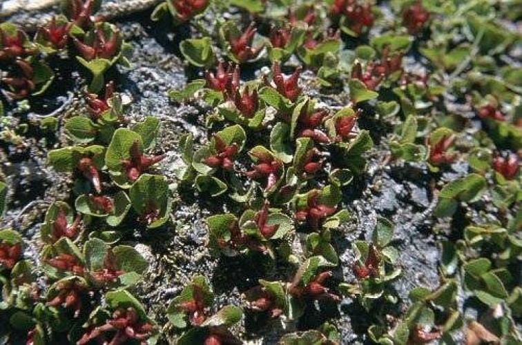
The date on the calendar indicated the 14th July on this morning... There is not a ripple of water on the Génépy lake despite the gusting northerly winds. This is because a thick layer of ice covers the lake. The varying colours of the mineral world around me transect the swirls of fresh snow. This is where you go up to the Lac du Génépy, starting out from the forest in your short sleeves until you end up thinking you’re crossing the rocky stretches of Iceland, where the plants have adapted in mad-cap fashion to cling to these rocky mounds. Here the birds no longer sing, only the ringing sounds of the alpine choughs and the guttural sounds of the ptarmigan resonate. Mathieu Beurier – National Park Ranger
Access
In Modane, take the D 215 towards Aussois. Once you’ve arrived in Aussois, go to the top of the village and take the small road that rises towards the dams. Leave a panoramic viewpoint on the left and take a steep road on the right for 100 m to reach the car park.
Departure
Dam site, village of Aussois
Data author
