Alert
Alerts
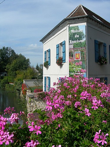
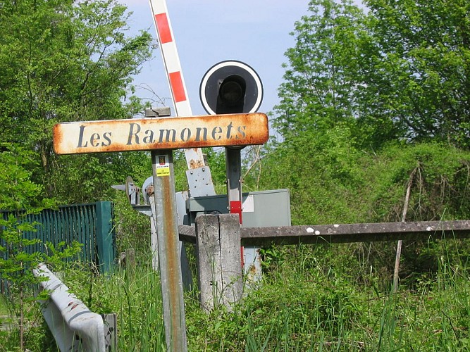
The Ramonnets / Montigny
The Cirkwi brief
Immerse yourself in a journey that blends the pastoral beauty of rural France with the unique charm of Ile-de-France's eastern edge. Set off from the quaint La Ferté-Gaucher, tracing a path curated by Provins Tourisme, and experience the seamless merger of agricultural lands and historic settlements. This route, besides offering lavish green landscapes, introduces you to hidden gems like the ancient Montigny lavoir. Ideal for those yearning to escape urban clamor, this itinerary promises a serene ambiance, inviting you to slow down and savor the essence of the French countryside.
Insightful Route Specifications
Spanning approximately 8.7 kilometers, this carefully designed walking tour by Provins Tourisme starts with an elevation of 104 meters, peaking at 156 meters. Notably, the route experiences a minimal altitude flux, ranging from 155 to 156 meters. Such subtle elevation changes ensure an enjoyable yet mildly challenging walk, suitable for most fitness levels. This elevation detail underscores the creative consideration behind this itinerary, making it a delightful exploration for both novice and seasoned walkers.
Seasonal Tips & Safety Advice
Whatever the season, preparation is crucial for this journey through La Ferté-Gaucher’s scenic landscapes. In spring and summer, light attire and sunscreen are recommended, while autumn calls for a waterproof jacket for those unpredictable showers. Winter adventurers should don warm layers and reliable footwear to navigate the frosty path. Always carry water, a map, and a first-aid kit. For safety, avoid dusk journeys and stay updated on local weather advisories. By adhering to these recommendations, each step promises to be as enjoyable as the last.
Cultural Heritage Unveiled
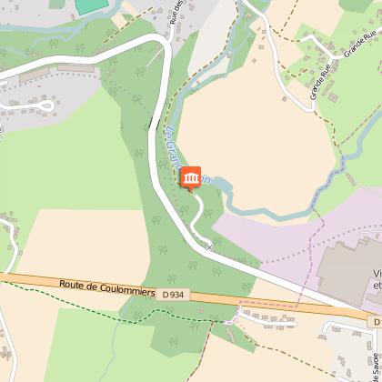
La Ferté-Gaucher, nestled within the heart of Brie, is more than just a starting point; it's a tapestry woven with historical and cultural threads. This region, bridging Paris and Champagne Ardennes, epitomizes the rural elegance and agricultural prowess of Ile-de-France. It's a landscape that has nourished its people through centuries, shaping a unique local identity. The lavoir of Montigny stands as a testament to communal life and architectural ingenuity, enveloping visitors in the rich heritage that characterizes this captivating region.
Guidance on Weather and Travel
The climate in La Ferté-Gaucher reflects typical northeastern French patterns: temperate summers and cool winters. Spring (April to June) offers mild temperatures and vibrant flora, ideal for walkers. Summer (July to September), characterized by warm, pleasant weather, is perfect for enjoying the full bloom of the countryside, though hydration becomes crucial. Autumn (October to November) brings a palette of colors and cooler temperatures, while winter (December to March) can be chill, requiring appropriate attire. For optimal experience, late spring to early autumn provides the best conditions for exploration.
Technical Information
Altimetric profile
Starting point
Steps
Points of interest

Data author
