Alert
Alerts
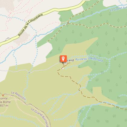
Montarquis cave - Hike
Description
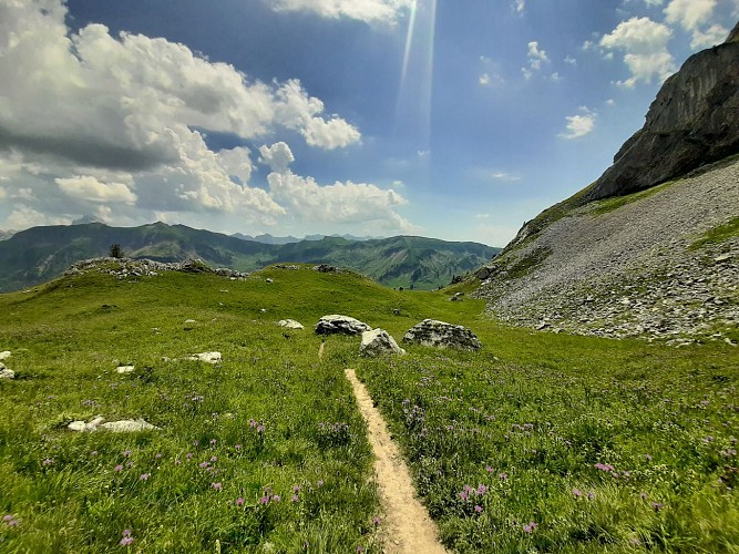
Departing from Col de la Colombière, after 2 hours of walking through lawns and scree, you can access these caves, located at an altitude of nearly 2000 m at the start of the Bargy chain.
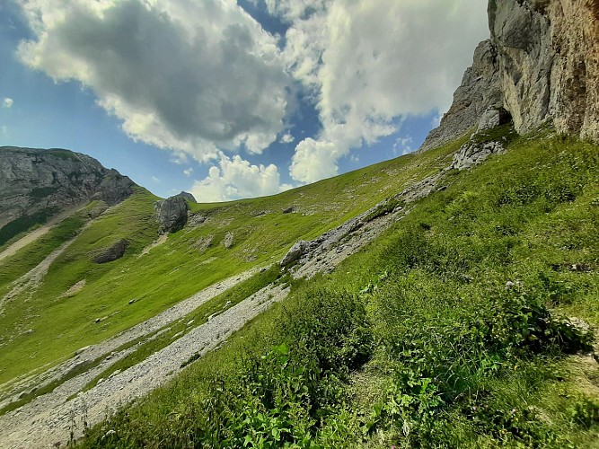
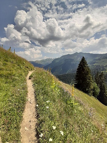
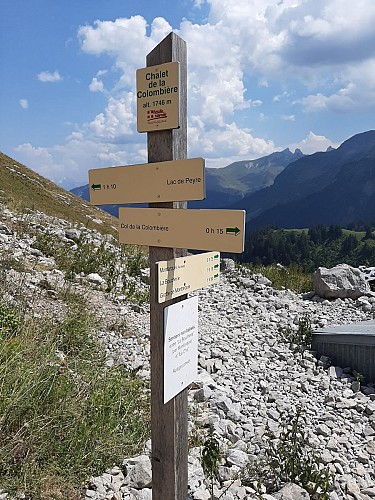
Step-by-step guide : Special recommendation: be careful, patous on the area Itinerary: The start is located near the Col de la Colombière chalet-restaurant. Follow the marked path "Grotte de Montarquis (2h20)" and quickly leave the other path to the left which leads to the Jalouvre. After a 30-minute walk, you arrive at the Chalets de la Colombière. Then turn right towards the cave. Follow the hilly path and cross a park where there is a flock of sheep. Continue like this for 25 minutes, until you reach the sign "Montarquis (Ruines)". The path then becomes steeper, leave the park and turn left at the small sign “Grotte de Montarquis”. Continue for 35 minutes before reaching the final climb (about 45 minutes) in a scree. At the top, enjoy the life on the Aravis massif and the fresh air that emanates from the cave. The descent is made by the same path as on the way out.
Technical Information
Altimetric profile
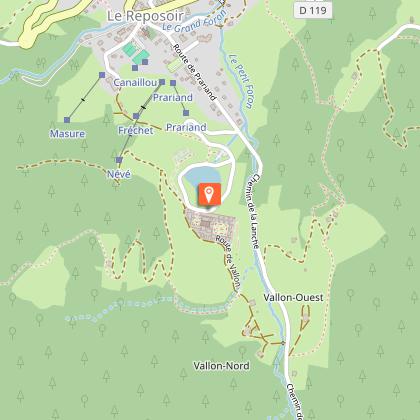
Starting point
Points of interest

Date and time
- From 01/06/2026 to 15/11/2026
Additional information
Open period
Closed temporarily.
Updated by
Cluses Arve & montagnes Tourisme - 27/11/2025
www.cluses-montagnes-tourisme.com
Report a problem
Environments
Mountain view
Mountain location
Panoramic view
Presence of livestock and guard dogs
Contact
Phone : 04 50 98 18 01
Email : tourisme@cluses-montagnes.com
Website : https://espacestrail.run/fr/flaine-carroz-2ccam/parcours/153637
Facebook : https://www.facebook.com/Cluses-Arve-montagnes-Tourisme-104007097700091/
Type of land
Rock
Stone
Ground
Not suitable for strollers
Location complements
From Cluses, take the D4, direction Reposoir. Cross the village of Reposoir, then climb another 7 kilometers to reach the Col de la Colombière. Park at Col.
Topo guides and map references
Map references :
TOP 25 IGN 3430 ET
Tricky passages
The end of the trail is steep and in scree.
Animals
Yes. Keep your dog on a leash, he can scare off herds and wild animals.
Data author
