Alert
Alerts
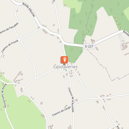
Lasclaveries : du Gabas au Luy de France


Description
An easy walk between the agricultural plateau and the wooded hillsides of the Luy de France. Fountain, grassy path, along the edges of fields, take the grassy track going down to the South-East along the corn fields, this is the program that awaits you with this path from Gabas to Luy de France.
Technical Information
Altimetric profile
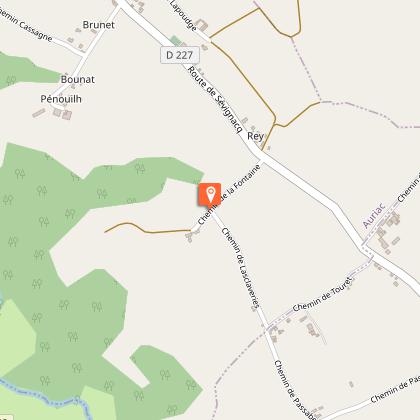
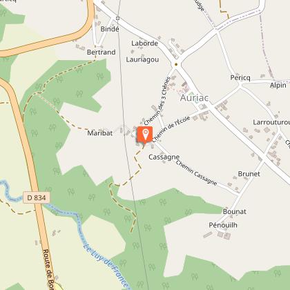
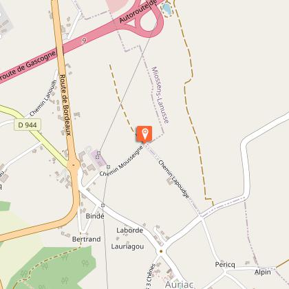
Starting point
Steps
Additional information
Contact
Fixed telephone : +33 5 59 68 28 78
Syndicat du Tourisme Nord Béarn (antenne Lembeye)
e-mail : contact@bearnmadiran-tourisme.fr
Web site (URL) : www.bearnmadiran-tourisme.fr/
Balisage
Yellow
Typologie de l'itinéraire
Loop
Durée moyenne de l'expérience
2 to 3 hours
Thèmes
Natural
Data author
