Alert
Alerts
Cycle route from Basse-Ham to Knutange

Description
This itinerary crosses the urban area of Thionville from the Voie Bleue. After a visit to the town centre, the route leads to the Saint-Michel Hill to discover the old preserved villages of the Moselle hills, now attached to Thionville.
Numerous links lead off from this spine to discover more unusual places.
Technical Information
Altimetric profile
Starting point
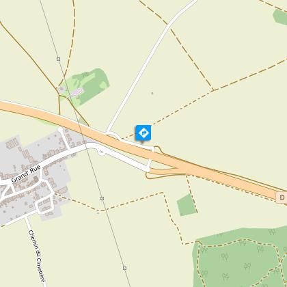
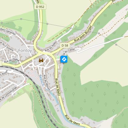
Points of interest


Additional information
Producteur de la donnée
Ces informations sont issues de la plateforme SITLOR - Système d’Information Touristique - Lorraine
Elles sont synchronisées dans le cadre du partenariat entre Cirkwi, l’Agence régionale du Tourisme Grand Est et les membres du comité technique de Sitlor.
Contact
Tel : 03 82 53 33 18
Email : tourisme@thionville.net
Data author
