Alert
Alerts
The Saulnois Gateway


Description
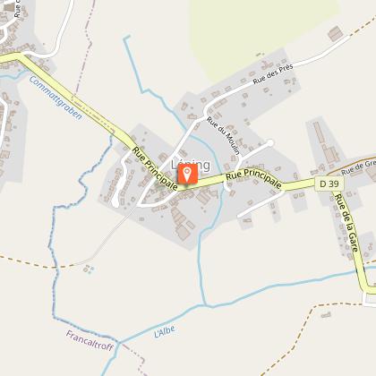
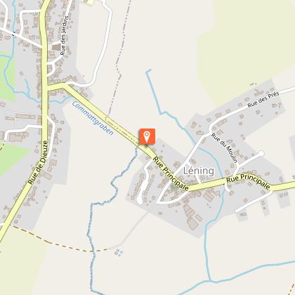
Between forests and pastures, this circuit leads you to discover Montdidier, a perched village in the Saulnois region, from where you can enjoy a beautiful panoramic view of the Lorraine plateau and the blue line of the Vosges. Situated on the hillside, its ford or aiguayoir (horse bath) and its old cemetery will surprise you. In Léning you will notice the picturesque slate-covered bell tower of the church. The Herrenwald pond, restored to protect its flora and fauna, and the botanical path are of great interest.
Technical Information
Altimetric profile
Starting point
Points of interest


Additional information
Producteur de la donnée
Ces informations sont issues de la plateforme SITLOR - Système d’Information Touristique - Lorraine
Elles sont synchronisées dans le cadre du partenariat entre Cirkwi, l’Agence régionale du Tourisme Grand Est et les membres du comité technique de Sitlor.
Contact
Tel : 03 54 77 00 15
Email : contact@tourisme-saulnois.com
Data author
