Alert
Alerts
The Albestroff hillsides


Description
Since the early Middle Ages, the village of Albestroff and its castle were, together with those of Vic-sur-Seille and Marsal, one of the main fortresses of the bishopric of Metz. The dukes of Lorraine, the bishops, the Imperials and France fought over Albestroff for centuries. In 1637, after having been completely ravaged, it came under French rule. During your walk, discover the last vestiges of its castle. From the hillsides, enjoy a magnificent landscape of vast forests, ponds and meadows.
Technical Information
Altimetric profile
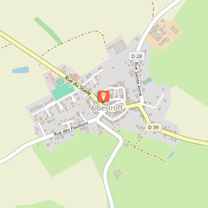
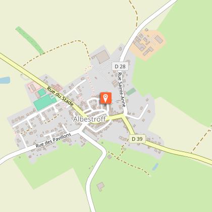
Starting point
Points of interest
Additional information
Producteur de la donnée
Ces informations sont issues de la plateforme SITLOR - Système d’Information Touristique - Lorraine
Elles sont synchronisées dans le cadre du partenariat entre Cirkwi, l’Agence régionale du Tourisme Grand Est et les membres du comité technique de Sitlor.
Contact
Tel : 03 54 77 00 15
Email : contact@tourisme-saulnois.com
Data author
