Alert
Alerts
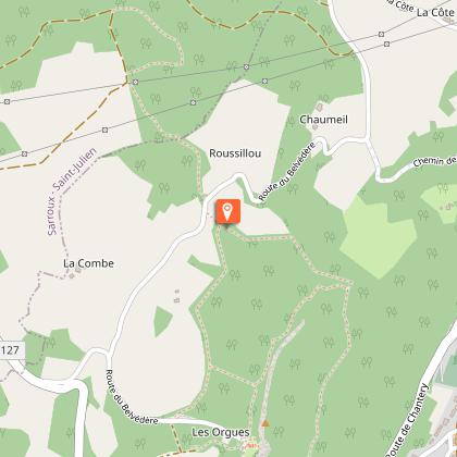
The Blue Barn

Description
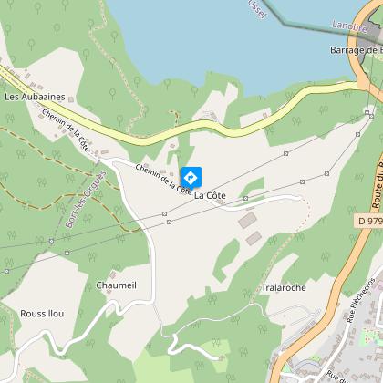
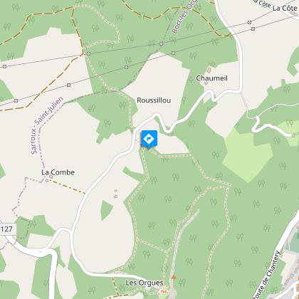
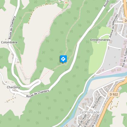
Massif du Sancy, Château de Val, Lac de Bort, Les Orgues, an itinerary all about exploration...Depart from the Place du Foirail. Go back up to the RD 979. Cross it and go up the few steps.Take the small road that rises above Bort. Pass behind the Virgin’s statue and continue. At the top of a slightly steeper slope, take a trail to the right. You reach the village of La Côte. Go through it. Turn right at the next road junction to join the D979.Follow it on the left for 700 m, leaving, on the right, the road that goes down to Les Aubazines. As you leave of the village of Vioux, turn right onto the path parallel to the B-road which eventually joins it.Cross over and take the small road opposite. After 200 m, turn left onto the rising track. When you arrive at the edge of the forest, take the path on the right and then the path on the left. Continue the ascent straight ahead. At the T-junction, take the path on the left which joins the forest track.Follow it to the left. At the Y-junction, turn left. The track becomes a small tarmac road.At the crossroads, turn right. At the next crossroads, follow Les Orgues. On your right, leave Chaumeil then Le Roussillou.200 m after Le Roussillou, take a path on the left. Go straight ahead when you reach the old barn. The path continues for a long time below the organ pipe rock formations.At the crossroads, turn left. Follow the road on the left for a few metres and find the path on the right which goes down to Bort. Take the D979 to the left to find the starting point again.
Technical Information
Altimetric profile
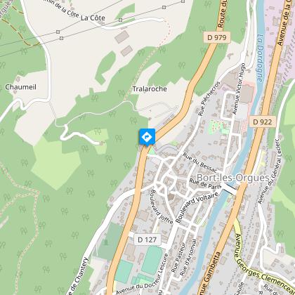
Starting point
Steps
Points of interest

Additional information
Advised parking
Place du Champ de Foire, Bort-les-Orgues
Access
The Champs de Foire square is located on the edge of the D979 at the exit of Bort in the direction of the dam.
Ambiance
This hike offers a succession of breathtaking panoramas: from the town of Bort to the Massif du Sancy, from the Château de Val to the Château de Pierrefitte and the Grange Bleue (the barn which owes its name to its slate roof). The Orgues, like organ pipes, end up dominating you, letting you admire their majesty from all angles. One great advantage of this trail in spring or autumn: the absence of foliage allows a good view of Les Orgues.
Arrival
Place du champs de Foire, Bort-les-Orgues
Departure
Place du champs de Foire, Bort-les-Orgues
Data author
