Alert
Alerts
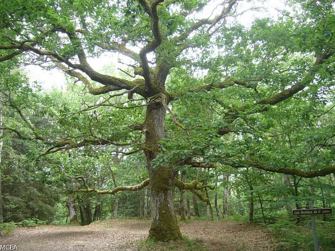
The Forest of Drouille
Description
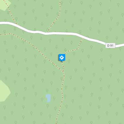
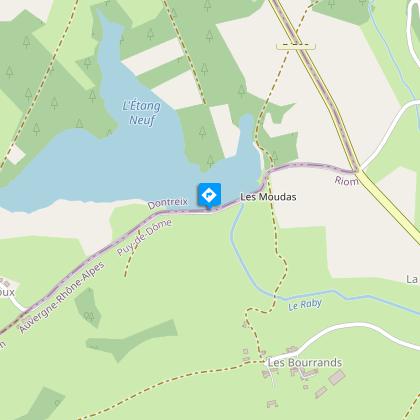
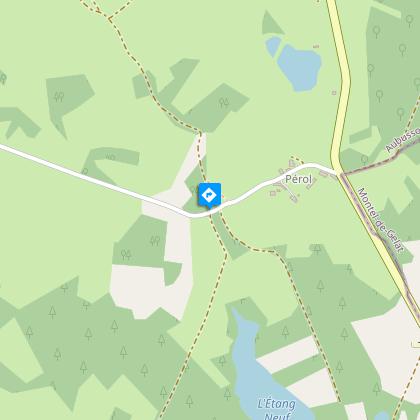
Through the Forest of Drouille and the hamlets of Dontreix, explore the landscapes of the Combraille, a renowned historical and geographical region on the borders of Limousin and Auvergne.Climb towards the church; turn right on the road to Malganne, go straight on and pass in front of the cross of St Anne. Continue on the road, which is extended by a path.At the first fork, turn right; at the next fork, in the forest, go left and continue to the road.Take the road on the left; after 500 m, take a path on the right for 50 m; at the fork, go right and continue to an intersection with a wide forest track.Go left on this track; at the black cross, go straight on to the next fork.Fork left and go on until you reach a T-junction; go right; at the next intersection, go straight ahead until you reach an intersection with a wide path.Turn right, go on alongside a pond; at the crossroads, continue opposite on the edge of the forest to the road.Cross the road to take the path opposite; walk alongside the Etang Neuf, then take the road on the right on the dyke to Les Courtioux Hauts.At the stone cross, turn right and go straight ahead until you reach the road.Cross the road and continue across it until you reach a T-junction at the edge of the wood; turn left to Les Chazeaux.Take the road on the left at the first house; at the T-junction, take the road on the left; 200 m after the La Marzelle sign, turn right for 30 m and then right again.Go through the village; As you leave the village, the street extends into a wide path that you follow until you get to a wooden cross.Go down to the right in the forest and continue on the path to Hauteserre.Turn left on the path after the second house; pass to the right of the cross and go straight to the lake.At the road, turn right and climb towards Dontreix; cross the D 4 and return to the starting point.
Technical Information
Altimetric profile
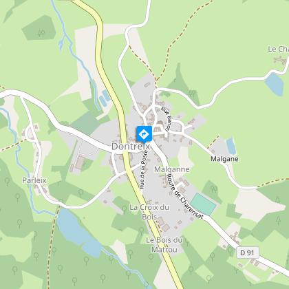
Starting point
Steps

Additional information
Advised parking
Car park at Place du Monument aux Morts, Dontreix
Access
From Auzances, take the D 988 in the direction of Charron then, after the Pont de Courleix, follow the D 4 to reach Dontreix.
Ambiance
The Forest of Drouille was occupied by the ancestors of the Gauls, the Celts, who left their mark on the whole region. Dontreix was located in Gaule Chevelue, a heavily wooded province. Situated on the borders of the territories of Arvernes (Auvergne), Lemovices (Limousin) & and Bituriges (Berry), the Forêt de Drouille was grown and thriving when the druids gathered their mistletoe there.
Arrival
Place du Monument aux Morts, Dontreix
Departure
Place du Monument aux Morts, Dontreix
Data author
