Alert
Alerts
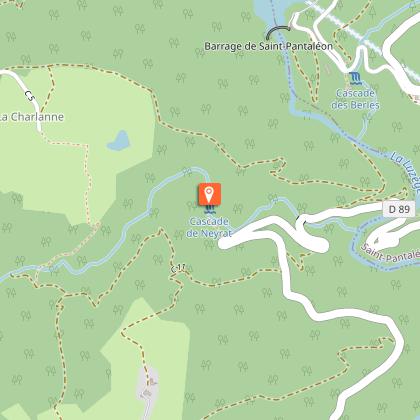
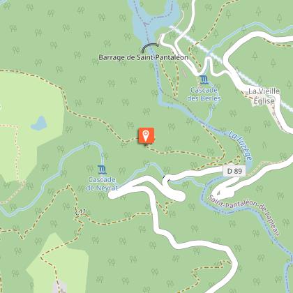
The Neyrat waterfall

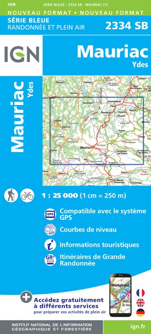
IGN cards


Description
Between the plateaus and the slopes of the gorges of Luzège, the Neyrat waterfall offers a refreshing place to pause halfway through its course.From the town hall, turn left onto the road to Laval-sur-Luzège. At the laundry, follow the road on the right for 200 m and then turn right. Continue until you reach the B-road. Cross the D 16. at the house, use the path on the left.Take the track on the right for 30 m, then the path on the left through a softwood plantation. It twists and turns down into the gorges. Cross the stream and go up the stony track. On the plateau, facing the meadow, continue along the track to the left. Take the D 89 on the left.Leave the road on the right and, at Les Alouettes, take the road on the right, passing the Neyrat junction and continue for 200 m.Follow the path between two fields on the right and go down into a coppice.In the bend, take the path to the right on the hillside. Leave a trail on the left, cross the thalweg and go downwards.Take the D 89 on the left (in the bend, you have the chance to go to the Neyrat waterfall) and cross the bridge.Take the path which climbs up on the left (mica rock outcrops and a circular platform left by charcoal burners) until you reach the plateau. Go along by the meadows and leave the path to the right.Take the path on the left. Go through La Charlanne (view of the Cantal mountains), pass between a bakehouse and a Corrèze house and continue along the path bordered by hedges. Cross the stream on the footbridge and climb up into the coppice.Continue on the pathway.Follow the road to the right. Before the village, turn left. After the water tower, take the main street on the left, and you arrive at the town hall on the right.
Technical Information
Altimetric profile
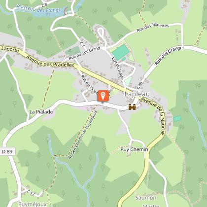
Starting point
Steps
Additional information
Advised parking
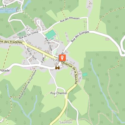
Place de la Mairie, Lapleau
Advice
Slippery rocks on the trail when you arrive at the Neyrat waterfall.
Access
18 km southeast of Egletons by the D16.
Ambiance
The gorges have not always had this wooded, wilderness aspect, as evidenced by the charcoal makers' platforms, visible along this quite strenuous trail traced out on the slopes of the Luzège.
Arrival
Place de la Mairie, Lapleau
Departure
Place de la Mairie, Lapleau
