Alert
Alerts
The Bridge at Gire
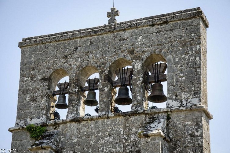
Description
Between the villages of Saint-Merd-de-Lapleau and Vergne, small unspoiled valleys await you offering a woodland hike.From the church, go up into the village and take the path to the right, bordered by low walls. Continue along the track on the left, then go along the D13 on the right and pass the Petit-Bois campsite.Leave the hamlet of Le Peuch on the left (bread ovens) and continue on the D13 for 300 m. Take the road to the right, go through the hamlet of La Vedrenne and take the path that starts to the right of a barn. Stay on the right-hand path. It loops its way down under the moss-covered beech trees. Cross the bridge at Gire, turn left and go up the village of Vergnes.Take the road to the right (in front of a house, a balance was used to bring up buckets from the well), and you will reach La Tendrerie. Walk between two houses on the path that goes to the left of an oak tree. It heads off through the meadows.Continue along the track on the left for 200 m, then descend by the path on the right. Cross the stream and climb up into a coppice of holly and birch.Take the stony forest track on the left. Continue by road into the hamlet of Trémoulet and, after a bend, turn onto the right-hand path. At the intersection, continue straight ahead, cross the valley and back up into the softwood plantation. Take the road to the right (view of Saint-Merd-de-Lapleau).Take the path on the right. At the end of the field, continue along the trail to the left. Pass the fence (beware of cows and follow the markings well), cross the stream by the ford and go up to the left. Take the road on the right to arrive at the church.
Technical Information
Altimetric profile
Starting point
Steps
Additional information
Departure
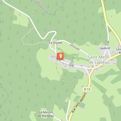
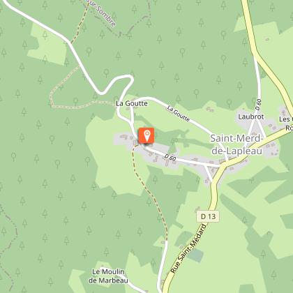
Church, Saint-Merd-de-Lapleau
Arrival
Church, Saint-Merd-de-Lapleau
Ambiance
The Pont de Gire circuit invites you to take a walk along paths lined with low walls, in the coolness of the undergrowth and valley bottoms where the trees are hidden under the moss.
Access
At the entrance to the village of Saint-Merd-de-Lapleau, go down to the Town Hall then continue on the D60 to reach the Church
Advised parking
Eglise, Saint-Merd-de-Lapleau
Data author
