Alert
Alerts
From the train station to Manzagol

Description
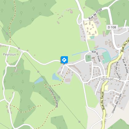
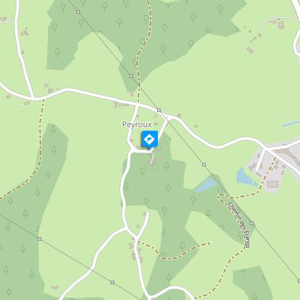
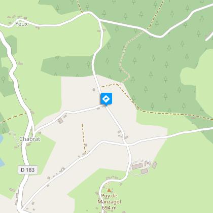
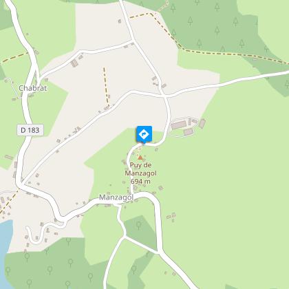
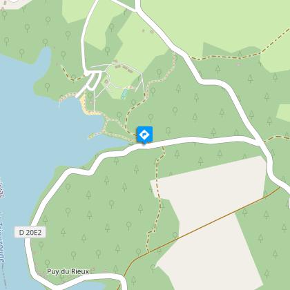
Landscapes (and a big breath of fresh air) distinguish this itinerary between Monts d'Auvergne and a dammed lake.Departing from the old railway station, go up to the town hall. Go down along the edge of the cemetery. Take the road on the left towards the retirement home.Follow the road to the right until you reach Peyroux. Take the road on the left, pass the tower; pass by two roads on your left and find the D183. Turn left onto it for 500 m.Take the path on the left. Cross a road and go straight on. At the crossroads, turn right to rejoin the road. Turn left onto it. When you get to the village of Pisse-Lèbre, go straight on until you reach the Puy de Manzagol.Climb up on the mound for the viewpoint. Continue in the village: take the road to the right then go left then right towards Maury. Go through the campsite towards the tennis court. Then go down to the right towards the lake to find a path that runs along the lake towards the Etang du Maury.Take the road to the left, then the path on the right. Go up to the right and then left where the trees are felled. Go back down to the track and take a left.Take the road to the left and then, at the crossroads, follow the track to the right. At the crossroads, turn left. Go through a village.Take the road to the right and then to the left. Go through La Chastre and continue on the track.Take the road to the right. Go right at the next crossroads. Ignore two roads on your left. At the next crossroads, take the road on the left. Continue straight ahead along the track.At the crossroads, turn right towards Bonnefond. In a bend, take the path on the left that goes back to Liginiac: turn right in front of the retirement home and then left towards the centre of the village.
Technical Information
Altimetric profile
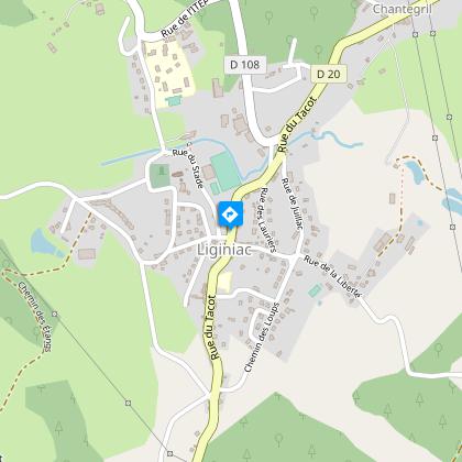
Starting point
Steps
Points of interest


Additional information
Advised parking
The old Tacot railway station
Access
The departure point is at the edge of the D20 as it goes through the village of Liginiac.
Ambiance
Come and discover a historical and economic heritage that stretches from the 12th century to the present day. From the fortified château to the manor house, the farms, and further on, the lake, everything here tells you about the toil of inhabitants. Manzagol's orientation table shows the landscape and its subtleties. Back in the town, the Rue du Tacot, which crosses it, was, in the 20th century, teeming with activities on both sides of the road.
Arrival
The old Tacot railway station
Departure
The old Tacot railway station
Data author
