Alert
Alerts
The Wolf Leap


IGN cards


Description
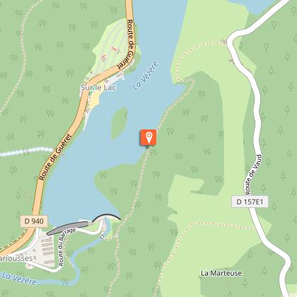
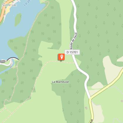
A quiet walk in the shade of the trees that leads to one of the most beautiful panoramic views you can have over the medieval city of Treignac.Go down the small road, face the Bariousses dam.Go along the Vézère as far as the footbridge; From this point on the right bank, a round trip (200 m) allows access to the Saut du Loup site.Cross the footbridge, climb the steep slope and then turn left at the first crossroads. Then walk alongside Lake Bariousses to the small beach at Vaud.Continue on the ancient sunken path that leads to Vaud. As you leave the village, there is an old fountain, still famous today for the quality of its water.Continue along the road to an old quarry. Turn right in front of this quarry. Then follow the path and admire the many views over the Monédières massif.Walk straight ahead to the village of Boisse. Take a right turn on the road and enjoy the view of the Château de Boisse.At the end of the village, you can admire the panoramic view over the medieval city of Treignac. Further down, another 200 m, venture to the crossroads at 800m. Turn left, go down to Vézère and cross the footbridge to reach the finish line.
Technical Information
Altimetric profile
Starting point
Steps
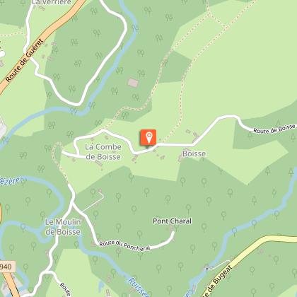
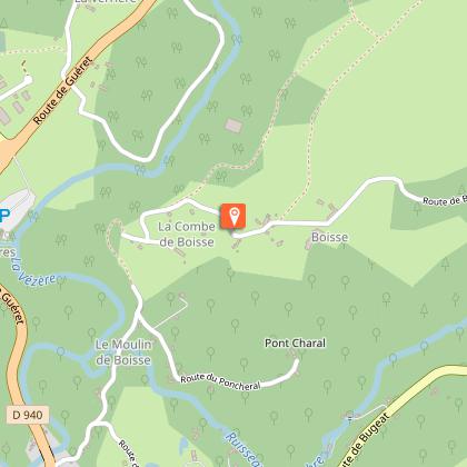
Points of interest


Additional information
Public transport
Nearest railway station: Bugeat (10km)
Advice
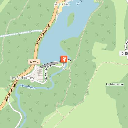
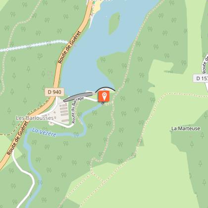
Be careful near the dam! It is important to comply with the safety instructions on the notice boards. Potential danger during heavy waterfalls when the dam is open!
Advised parking
Below the viewpoint of the Bariousses dam, Treignac
Access
At the southern tip of the Lac des Bariousses, 2 km northeast of Treignac, following the RD 940.
Arrival
Bariousses Dam, Treignac
Ambiance
This circular walk through woods, water and meadow, joins Lake Bariousses, a place for swimming and water sports. This path runs alongside the Vézère; a river appreciated by fishermen and kayakers, and which provides access to the iconic site of Le Saut du Loup, Wolf’s Leap.
Departure
Bariousses Dam, Treignac
