Alert
Alerts
The Méouzette Valley

IGN cards



Description
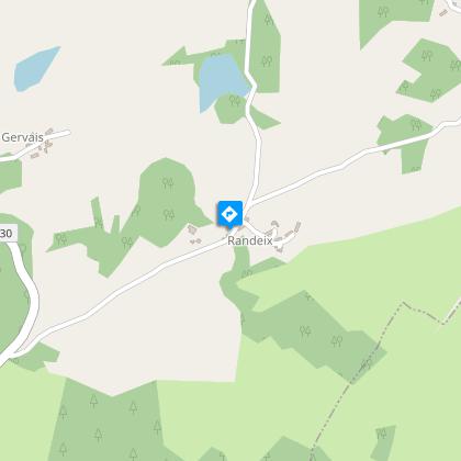
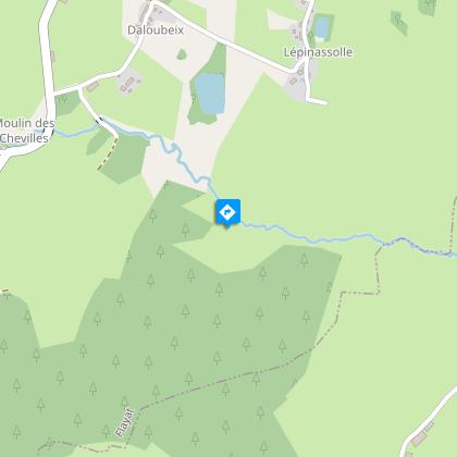
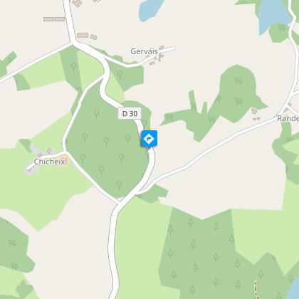
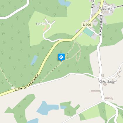
A hike to discover the Méouzette Valley starting from Flayat.After 50 m take the first road on the left. Where the road forks, go down to the right. At the intersection, turn left.At the crossroads turn right.At the fork, angle to the right. At the end of the road turn right.Take the second road on the left opposite the old Randeix oven.300 yards on, go straight ahead.Just past a wet area, turn right into an alley that climbs up through the woods. Go left at the junction.Turn right onto the D18. Continue straight ahead and then towards the place known as Le Montfranc and go through it.250 m after the hamlet, at the fork, turn left.Continue straight on or alternatively: take the turning to go directly to point 12.At La Vedrenne, go uphill to the left by the small road.At the corner of the first house in Pralong, go up the low-walled path to the left. Go straight on and continue through the village of Diozidoux. As you leave the village, take the tarmac track on the right just before the mill, the Moulin des Chevilles.Take the second path to the left.At the intersection, turn left.Turn right 700 m further on, cross the Méouzette river, and go through the village of Lépinassolle.At the intersection, turn right and then the first road on the left.Turn left at the crossroads. Go back down on the road to the Etang de Franouille, turn left at the junction. Go up to the right. At the old Randeix oven, take the road going up to the left.At the crossroads, turn right and go down the first path on the right. As you leave the village of Gervais, follow the path on the left.Take the stony track on the left. Cut across the road. Continue straight ahead.150 m before the road, head in the direction of the Saint-Clair chapel. After the chapel, descend to the right. Below the fountain, turn left to find a path. Follow this path to the D996. Follow it to the right towards Flayat to reach the starting point.
Technical Information
Altimetric profile
Starting point
Steps
Points of interest
Additional information
Advised parking
Church Square, Flayat
Access
10 km from Crocq via the D 996.
Ambiance
This long circuit meanders between streams, ponds and peat bogs, and is an aquatic paradise for birds and otters. You will cross the River Méouzette several times on beautiful stone bridges. The walk ends with the chapel of Saint-Clair and its fountain: this is a place of pilgrimage on the Sunday after St. Clair's Day.
Arrival
Church Square, Flayat
Departure
Church Square, Flayat
