Alert
Alerts
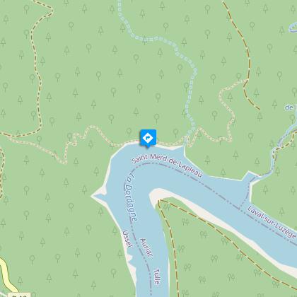
The Dordogne Gorges


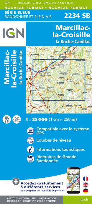
IGN cards


Description
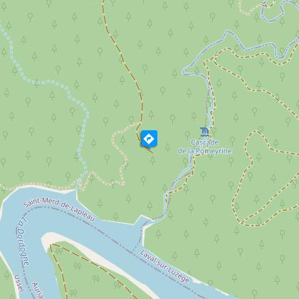
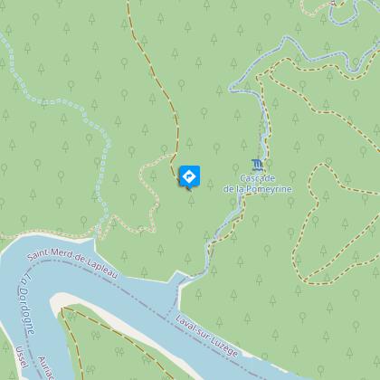
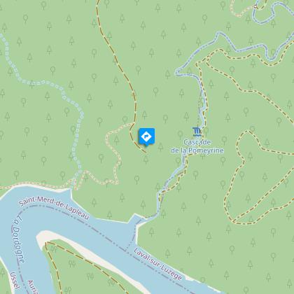
Discover the wild world of the Dordogne gorges and the history of the gabares with this challenging circuit.Red markers.Take the track towards the orientation table.Leave the path on the left (the steep and wooded slopes of the gorges offer birds of prey exceptional nesting sites which are protected under Natura 2000), and continue on the track (orientation table on the right).Ignore the path to the right and continue along the track.At the crossroads, continue along the track to the right. It runs alongside a pond and climbs to Dillanges. Turn right and continue along the road that goes through the hamlet (the roofs covered with stone tiles, the interlinked houses, the outbuildings and the four-sided roofs are reminiscent of the Xaintrie region located on the other side of the Dordogne). Turn right onto the Roc-Grand forest track.Keep to the right and continue until you reach the loop at the end of the track.Continue straight on along the path that leads to the lookout at Roc-Grand (it dominates the Dark and the Chastang reservoir; observation point for peregrine falcons and ravens), then return to the loop.Take the path to the left. It descends the steep slopes of the Dordogne gorges. Cross the stream over the footbridge, and continue alongside the Chastang reservoir, set in a delightful wood. On the right, the small stone buildings located next to the charcoal kilns testify past activities in the gorges of the Dordogne; An intriguing shrub borders the path. It has an oval and pointed leaf and a round, red fruit: this is the brittle holly. Cross the talweg and climb the slope.Take the track to the left, pass the orientation table and join the path at the junction of your outward journey.Turn right onto the path. It runs along the edge of a beech wood. At the intersection, continue into the beech wood and arrive at the chapel of La Chapeloune. Take the D13 on the left to find the starting point.
Technical Information
Altimetric profile
Starting point
Steps
Points of interest


Additional information
Advised parking
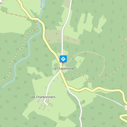
Parking area at the beginning of the Chapeloune forest trail, south of the hamlet
Advice
The descent of the Roc Grand and the ascent of the slope of La Chapeloune are very steep and slippery. This circuit is not recommended during rainy periods
Access
3.9 km from Saint Merd de Lapleau, take the D13 towards Auriac, go through the hamlet of La Chapeloune, and park next to the track, 50 m to the left.
Ambiance
Immerse yourself in the glorious greenery of the gorges and walk alongside the Chastang reservoir in an area full of natural charm. Stone dwellings and charcoal burners’ platforms bear witness to vanished activities and the transport of goods on flat-bottomed boats called Gabares.
Arrival
Parking area at the beginning of the Chapeloune forest trail, south of the hamlet
Departure
Parking area at the beginning of the Chapeloune forest trail, south of the hamlet
