Chaleix Wood
Description
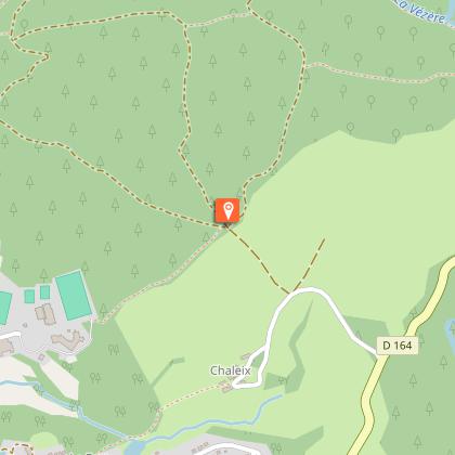
An easy circuit in the heart of the ancient woodland of the Chaleix woods.Start behind the stadium grandstand. Take the path that leads towards the woods. Go over the barrier.At the crossroads, take the track on the left which runs alongside the Vézère. After the last of the chalets you can see on the other side, climb the steep little path. At the top, leave the main track; a poorly marked path goes back down to the river. Follow it for about 45 minutes. Several successive landmarks: the path turns in a meander of the river - alongside a first islet - goes over a large block of granite. It then joins a wider track away from the watercourse; follow it to the left for 300 metres.Before this track climbs into the undergrowth, take a path to the left alongside the river. Other landmarks: the hidden ruins of a mill on the other side (visible in winter), the path that rises above the water and then descends, the confluence of the Vézère and the Petite Vézère. 100 m after this confluence, join a more clearly marked path that leaves the watercourse and rises abruptly into the undergrowth. It gradually widens out onto the ledge.Turn left at the forestry track.When you get to a huge crossroads, follow the second track on the right. It passes in front of the ruins of a barn. At the end of the track, turn left to descend again. Carry straight on to return to the starting point.
Technical informations
6.1 km
|
max. 752 m
min. 672 m
| |||
Altimetric profile
Starting point
Steps
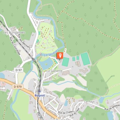
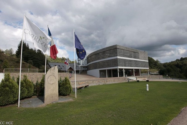
Espace 1000 Sources
Le départ du circuit se fait à proximité du stade de l’Espace 1000 Sources, centre d’entraînement qui accueille notamment des groupes de sportifs amoureux des grands espaces. A l’origine de ce centre, Alain Mimoun, vainqueur du marathon des Jeux Olympiques de Sydney en 1956, qui avait peaufiné sa préparation à Bugeat.
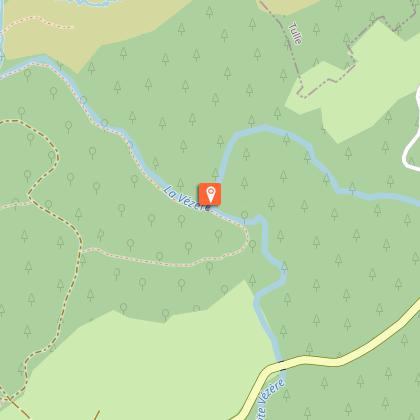
La Vézère
Prenant sa source au cœur du Plateau de Millevaches sur la tourbière du Longeyroux, la Vézère se jette dans la Dordogne après avoir parcouru plus de 200 km. Sur le parcours, la confluence de la Vézère et de la Petite Vézère est un lieu de halte idéal. La bonne qualité de ses eaux est attestée par la présence de la loutre.
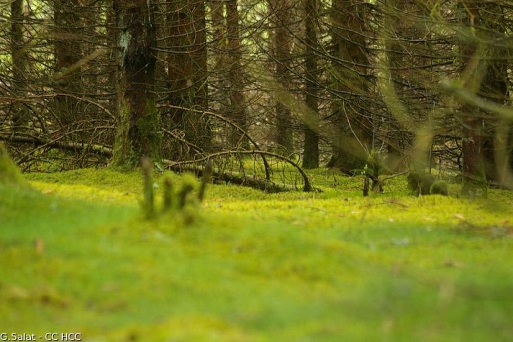
Le Bois de Chaleix
Le Bois de Chaleix d’une superficie voisine de 150 ha a été récemment acquis par la commune de Bugeat. Bordé par la Vézère, il est composé de feuillus et de résineux. Il offre de multiples possibilités d’activités sportives : randonnée pédestre, course d’orientation, parcours dédiés au trail, pêche, tir à l’arc.
Additional information
Public transport
Bugeat Station
Advice
Paths are liable to flooding at times.
Advised parking
Lake of the Three Bridges, Bugeat
Access
In Bugeat, on the D979, head towards the Espace 1000 Sources then the Etang des Trois Ponts. Start off behind the stadium grandstand.
Arrival
Lake of the Three Bridges, Bugeat
Ambiance
This circuit takes us along an iconic river in the Massif Central, the Vézère. It rises from its source in the heart of the Longeyroux Peat Bog and flows, eventually, into the Dordogne. Even if the echo of the river is ever-present, this little fisherman's trail offers a different atmosphere all year round: the freshness of the undergrowth and blueberries in summer, autumn colours, an unobstructed view of the river in winter, and meetings with fishermen in spring...
Departure
Lake of the Three Bridges, Bugeat
