Alert
Alerts
Between lake and pond

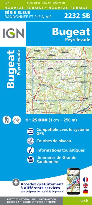
IGN cards


Description
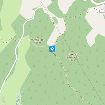
Along the shores of Lac des Bariousses, an ideal route is laid out to discover the beech and holly forests, a flora so special to the plateau; and its coniferous forests alternating with numerous green meadows.Head north along the shore of Lac des Bariousses for 1 km past the "Champs de l'eau" site. At the crossroads with the D157, turn right. After 150 m, turn left to walk to the village of La Brunerie. Before the first house, take the left-hand track, and continue for 1.5 km to reach the D940.Cross the road to take the D160 opposite, then take the second road on the left after 400m towards the village of La Nouaille. As you enter the village, take a stony track on the right, just after the first barn.At the crossing, turn left, then go up the track to the top (viewpoint on the right overlooking the Puy du Mas). Go down, leaving the first track on the right, cross a small stream, climb 100 m and go up a small hill on the right. After about 600 m, after a descent into the undergrowth, turn right again.Walk up to the local road leading to the village of la Goutte. At the crossroads (Croix de la Goutte), turn left to go back down to the D940. Turn left again and go along the B-road to return to the starting point.
Technical Information
Altimetric profile
Starting point
Steps
Points of interest


Additional information
Public transport
Stations: Bugeat (10km); Lacelle (6km)
Advice
Caution due to road traffic
Advised parking
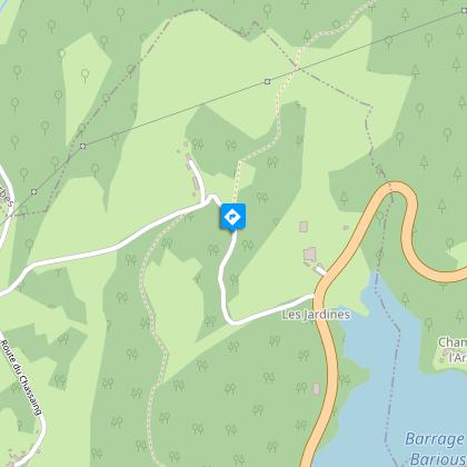
The Champ de l’eau car park
Access
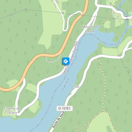
Leave Treignac by the RD 490 towards Lac des Bariousses. After the shore, 1.5 km further on, take the road on the right which goes down towards the lake.
Arrival
Devant le portail du gîte de vacances, les Combelles
Ambiance
The high vantage point that this route offers gives way to an exceptional view that imposes its gentle curves on the undulating landscape, all in protected natural surroundings.
Departure
In front of the holiday cottage gate, Les Combelles
