Alert
Alerts
Les Agaries


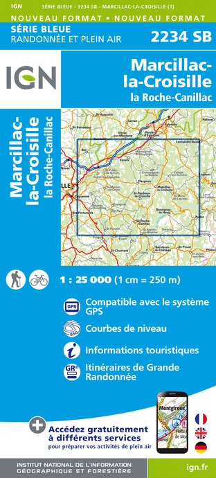
IGN cards


Description
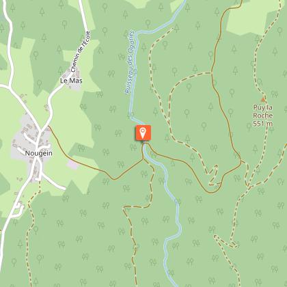
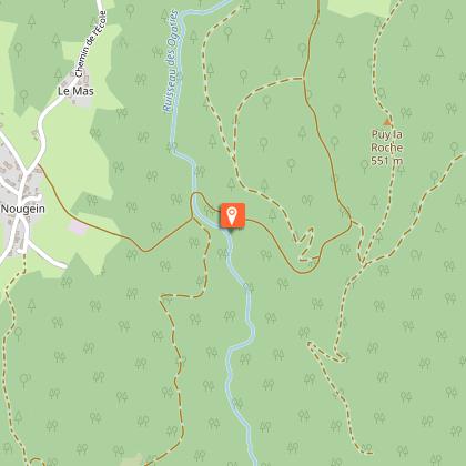
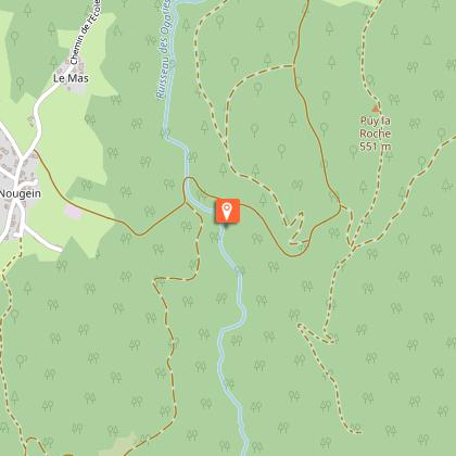
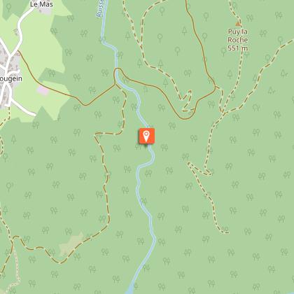
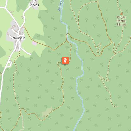
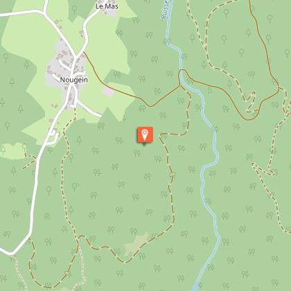
The Agaries stream reveals its secrets to you; from occupation by humankind over the centuries to a rich, preserved natural environment today.From the information panel, go down the track (the countryside of the Dordogne gorges), pass the panel (cave found during the excavation of the track) and continue along the track. In the undergrowth, turn left onto the trail edged by old dry-stone walls. It passes through the beech woods and descends.On the track, keep to the left for a round trip to the "Les Ponts et Moulins" panel, then retrace your steps and take the wooden stairs on the left, then go over the old bridge.Take the trail to the right on the embankment and go down along the stream, the Agaries, (vaulted bridge, diversion canal, imposing dyke and irrigation riser, witnesses of the past relating to water control). Continue on the trail to the left of the stream (lookout point and wildlife information panel facing the waterfall). Continue the descent (follow the markings carefully; the ground is slippery in wet weather). Pass the information panel about the flora, ford the stream and follow the right-hand bank of the stream to a footbridge (Access to Pierre Levée by the footbridge).Go up into the old chestnut grove (remains of a chestnut dryer). The path climbs up into the undergrowth (information panel about the forests of the gorges). Cross the track and continue the ascent by the path. It crosses the remains of the heather moorland and reaches the plateau. Continue along the small road and pass the bakehouse covered with stone (schist) tiles.Take the road to the right and pass the church.Follow the road towards Vergne and go straight ahead to return to the starting point.
Technical Information
Altimetric profile
Starting point
Steps
Points of interest


Additional information
Advised parking
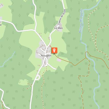
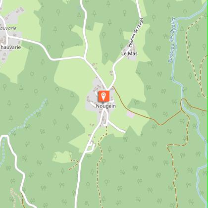
Start of the track, Nougein
Advice
The descent along the Agaries stream is steep and slippery in wet weather.
Access
5.9 km from Marcillac la Croisille, take the D18, then turn left onto the Nougein commune road, and in the hamlet of Nougein, turn left towards Vergne. Parking on the side of the road 50m to the right.
Ambiance
Between the village of Nougein and Pierre Levée, this tour, with explanatory panels, offers a discovery of the natural heritage and past human activities in the gorges of the Dordogne.
Arrival
Nougein, Marcillac la Croisille
Departure
Nougein, Marcillac la Croisille
