Alert
Alerts
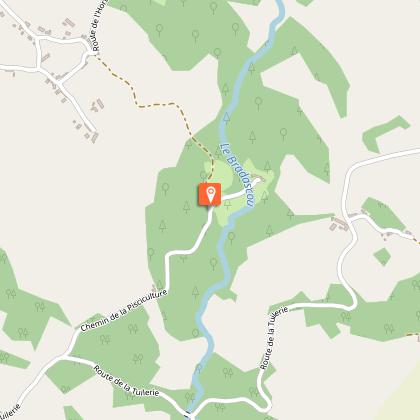
From Ganaveix to Brasdascou
Description
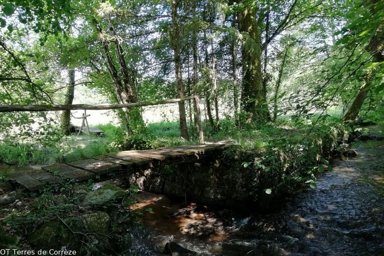
An invitation to a rural walk.Go along the D137 towards Meilhards signposted "Geneste Basse", then take the first path on the right in front of the cemetery to arrive in a hamlet.Continue on the left-hand path towards "Geneste Haute".In the village of La Geneste, at the intersection, continue on the path opposite, then go straight ahead, leaving the path on the right at the first intersection.At the second intersection continue on the right to arrive in the village of Pommier.At the bend, take the second right onto the path and continue straight ahead, leaving the path to the left behind you.At the next junction turn left.When leaving the path, turn right on the road, continue straight ahead towards "Moulin de Cluzac/voie sans issue", a dead end.Take the first tarmac road on the left, after 10 m take the road on the left before the house, then as you climb to the crow's feet turn right.When you arrive in the village of l'Hort, take the third road to the right.After passing the water tower turn left for 20 m, to reach the D137 and turn right.Take the first road on the left signposted "L'Angle", follow it to the left, then continue straight ahead.After the last house in the village, on the descent, turn right. Continue and cross the "Ganaveix" stream via the two footbridges. Follow the path.In the village of Chatain, take the tarmac path on the right, and continue straight on the road.At the intersection on the Lamongerie road, turn left. Continue for about 400 m.At the water tower, take the path on the left. Descend, keeping to the right.On the road turn left.At the La Tuilerie crossroads, turn right towards Condat.After the second house on the left, take the path on the left, and then turn right to return to the village of Pommiers. Take the path from the beginning in the opposite direction to return to the starting point at Condat-sur-Ganaveix.
Technical Information
Altimetric profile
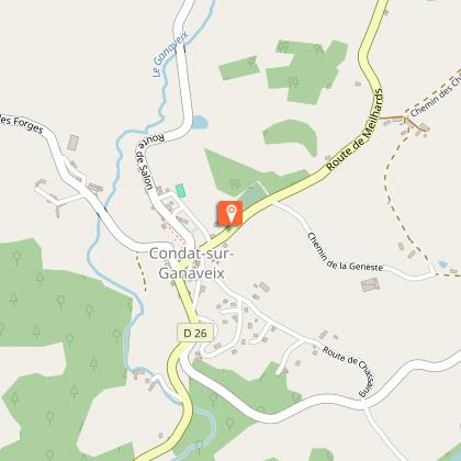
Starting point
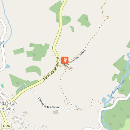
Steps

Additional information
Public transport
Think about car sharing >> www.blablacar.fr
Advice
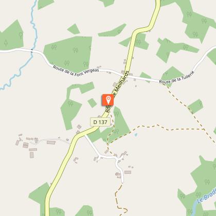
A taste of the terroir: The Janty cider house at "La Tuilerie" and the fish farm at "Moulin de Cluzac", typical artisan activities of Condat-sur-Ganaveix.Why not take a short detour to see the old school at Clusac at point 8: turn right towards the mill following the blue markings for about 300 m.
Advised parking
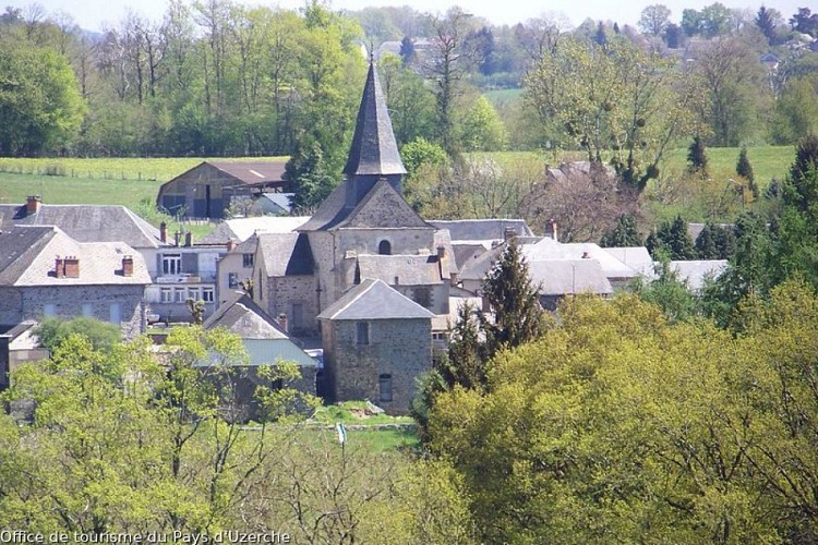
The market town, Condat-sur-Ganaveix
Access
From Uzerche, head towards Condat-sur-Ganaveix by taking the D137. You will pass in front of the SNCF station in Uzerche. The town is about 10 minutes from
Arrival
The market town, Condat-sur-Ganaveix
Ambiance
At the confluence of the Ganaveix and Bradascou rivers, with the Monédières massif and Mont Gargan as a backdrop, set off into the calm and beauty of the beautiful rolling countryside. Arouse your senses! Admire the Limousin cows, the pride of our region, as they graze and ruminate in the green meadows. As the fancy takes you, listen to the chirping of the birds and the lapping of water at the trout spawning grounds. Notice the peaceful hamlets with characterful houses dotted along the way.
Departure
The market town, Condat-sur-Ganaveix
