Alert
Alerts
The Augerolles waterfalls


Description
At the gateway to the Millevaches plateau, enjoy a walk guided by explanatory panels as you discover the 50-hectare listed natural site.From the car park, take the road straight ahead towards the stone-cutting workshop (South-West).Then head downhill at an angle to the right.At the "La Carrière" sign, turn right to visit the quarry. Retrace your steps.Turn right and go onto the plank bridge. Then turn right into the sunken path. At the fork, turn right towards "le Moulin", the mill. Further on, turn right at the "Le Chanvre" sign. You can get close to the old hemp mill, otherwise, stay on the main path.At the restored Augerolles mill, turn left up the hill, following the signposts. Continue straight through the hardwood trees. At the T-junction, go right. Cross the mill race, go straight ahead.At the signpost marked with the viewpoint symbol, leave the path on the right and walk into the plot for a few metres to enjoy the view of the valley. Take the path on the right, meander through the woods. As you leave the fir wood (viewpoint overlooking the village of La Vedrenne), start the descent on the winding pathways through the beech wood. Below the undergrowth, cross another mill race and head across to the creek.Take the wooden footbridge to cross over. Use the duckboards to step across the stream. At the Moulin des Charreaux (ruins), climb to the right. At the T-junction, turn right over the stream to overlook the waterfalls. At the fork turn right (viewpoint overlooking the Cascades d'Augerolles).Go into the fir woods, in the middle of the Field of Stones. At the intersection, go straight ahead, return to the roadside path. Take the steps, continue to the right. Back above the quarry where you started, turn left up the hill, following the markings.
Technical Information
Altimetric profile
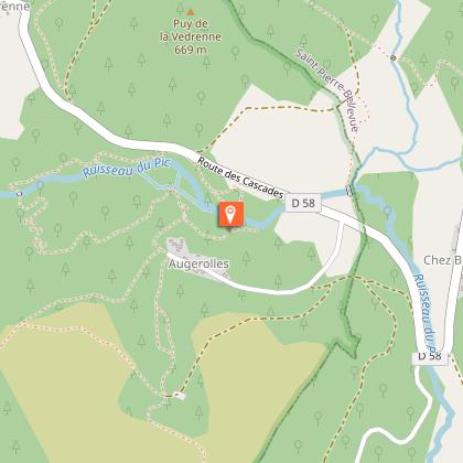
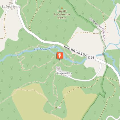
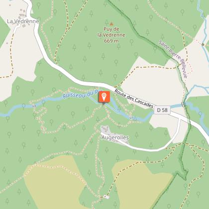
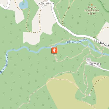
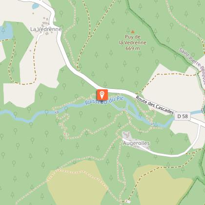
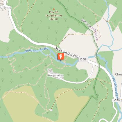
Starting point
Steps
Points of interest


Additional information
Advised parking
Car park at the Cascades d'Augerolle, D58, Saint-Pardoux-Morterolles
Advice
17 explanatory signs line the trail. For children, a treasure hunt punctuated with puzzles to solve lets them have fun as they discover the site. Take good shoes because of the steep gradient.
Access
16 km from Bourganeuf, follow the D8.
Ambiance
The waterfalls of Augerolles hike lets you discover the cut granite plank bridges, the Augerolles mill, as well as the Champs de Pierres - the field of stones: an imposing outcrop of balls and lumps of stone, blocks formed in the Ice Age, which shapethe wooded landscape and mark out the waterfalls.
Arrival
Car park at the Cascades d'Augerolle, D58, Saint-Pardoux-Morterolles
Departure
Car park at the Cascades d'Augerolle, D58, Saint-Pardoux-Morterolles
Data author
