Alert
Alerts
The devil's gully discovery trail


Description
Come and discover the secrets of the legendary Devil's Rock and the unspoilt nature of the Thaurion; flowing and cascading here into a huge "gully".From the car park, go towards the road by taking the track leading to the car park. Cross it and take the small staircase that leads down the slope.Turn left and follow the course of the Thaurion. After crossing the damp ground, the path climbs upwards, turning to the left.At the top, turn right, leave the stone staircase (with metal railings) that goes down to the left. Take care, awkward passage. Slip straight between the rocks to go down to the viewpoint overlooking the valley (secured by a guardrail). Once you have enjoyed the panorama, turn around, go up to the top of the staircase you left previously and take it.At the bottom of the stairs, on the left, continue following the river and, after trying to see the hidden waterfall, go up to the left to observe a huge rocky outcrop, then return to the river.Go along the riverbank to a waterfall; the path goes up on the left to bypass a rocky outcrop, then goes down again (watch out for slips).Slip between the rocks and follow the bank until the next waterfall.Go down the metal staircase and take the footbridge. Take a break before leaving the river and take the wide path that climbs (very steep) to the road.Cross the road at the small stone staircase in the embankment opposite. Climb these few steps and then turn right diagonally to cross the abandoned road and head towards the road opposite.Take the path that runs along the road in the woods until you reach the top of a wooden staircase.The tarmac track climbs on the left and thus begins the return to the car park. Follow this wide track that crosses meadows and then enters a large coniferous forest.Continue straight on this track through the communal forest until you reach the foot of the Devil's Rock and the car park.
Technical Information
Altimetric profile
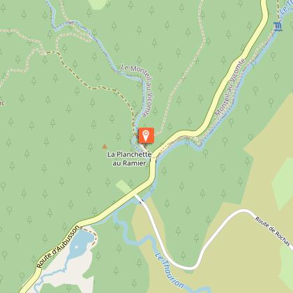
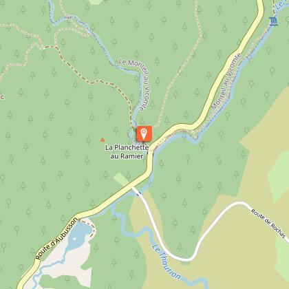
Starting point
Steps
Additional information
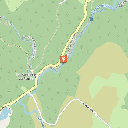
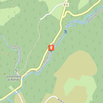
Advised parking
Devil's Rock
Advice
Trail not accessible to people with reduced mobility and strollers. Walking shoes/trainers strongly recommended.
Access
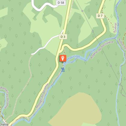
From Royère de Vassivière, take the RD7 towards la Rigole du Diable, the devil's gully.
Ambiance
This trail is full of legends, evolved in a mysterious wooded atmosphere, dotted with monumental granite outcrops. At the sound of the Thaurion waterfalls, you will discover the water at the heart of nature and human activities as well as the picturesque legend of the devil's gully.
Arrival
Devil's Rock
Departure
Devil's Rock
