Autour de la Sombre
Description
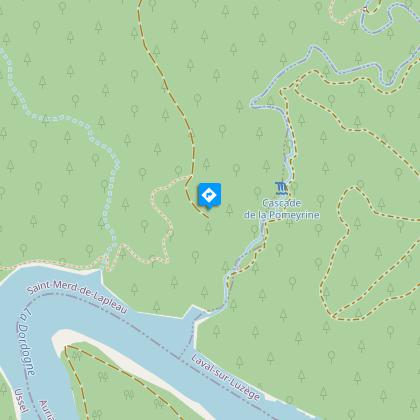
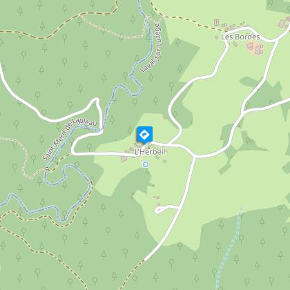
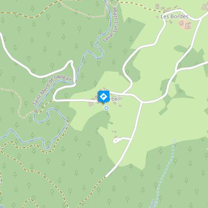
Overlooking the Sombre, the village of L’Herbeil will enchant you with its architecture and legends.At the sign, take the track, it runs alongside broad meadows (you may see the European stonechat). Continue on the path on the left.At the next crossing turn left on the earth path, cross a small stream and after 50 m take a trail that descends on the right. Cross the bridge over the Sombre and continue on the trail until you reach the trackTurn left onto the track. At Rouzeyrol, take the road on the right for 300 m. Then take the track on the left towards Roc Grand for 400 m.Continue along the track on the right. It leads to the Roc-Grand lookout point which overlooks the confluence of the Sombre and Dordogne rivers.Return to the fork (2.5 km round trip).Go along the meadow on the right, pass between the trees, alongside a field, then take the path through the coniferous trees that descend into the valley of the Sombre. Cross the stream (naturally dark in colour) and go up ahead by the road that leads into L'Herbeil. Go on through the hamlet to the Fontaine Saint-Simon sign.Turn right alongside the low walls to reach the Saint-Simon fountain. Go back to the road and turn right. Pass in front of the chapel Saint-Simon. Then leave a road on your left.Where a track crosses, continue on the road for 250 m then fork left onto another path. At the road continue straight ahead to find your starting point again.
Technical informations
9.2 km
|
max. 541 m
min. 438 m
| |||
Altimetric profile
Starting point
Steps
La Sombre
Ce cours d’eau prend sa source sur les hauteurs de la commune de Lafage- sur -Sombre et parcourt une quinzaine de kilomètres avant de chuter précipitamment dans la Dordogne.La Sombre, classée en première catégorie, accueille des populations de Truites, Vairons, Goujons qui se reproduisent dans ses eaux de bonnes qualités.
Microcentrale
Le Paysage s’ouvre sur l’immense retenue d’eau qui couvre plus de 700 ha et alimente le dernier des grands barrages de la Dordogne, le Chastang. A une autre échelle, en contrebas du belvédère, est installée la microcentrale de la Sombre. Une conduite forcée achemine l’eau du plateau jusqu’à une turbine 170 m plus bas. Cette installation est privée.
Les Gabariers
La Dordogne était une voie commerciale privilégiée pour rejoindre Bordeaux et le littoral atlantique. De grands bateaux à fond plat, adaptés au cours tumultueux et dangereux de la rivière, transportaient des bois (merrains pour la confection de tonneaux, charbon...) pendant la très courte période de crue, en automne ou au printemps où l’eau est dite « marchande ». L’équipage des gabariers se lançait alors dans une descente étourdissante, entre tourbillons, rapides et rochers.
Roc Grand
Surplombant le ruisseau de la Sombre et la retenue du Chastang, le belvédère Roc grand offre un panorama exceptionnel.Falaises et rochers environnants offrent le gite pour deux oiseaux habitués de ces milieux rupestres, le Faucon pèlerin (Falco peregrinus) et le Grand corbeau (Corvus corvax).
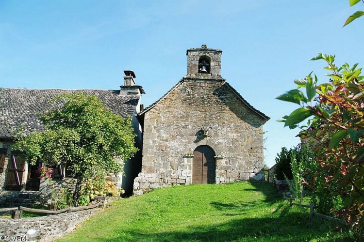
La Chapelle de L'Herbeil
Une jeune fille ayant aperçu la Dame blanche en bordure d’un bois en parla au jeune Simon Mérillou du Suquet. Il s’amuse de l’histoire en disant que la Dame blanche est sa fiancée. Plus tard, elle apparaît à Simon, lui rappelant qu’elle est sa fiancée. « Malheur à ta Reine », ajoute-t-elle, allusion à sa douce amie. Quelques jours plus tard, Simon découvre Reine, juchée sur un rocher dominant la Dordogne,et la Dame blanche qui lui tend la main. Un violent éclair, et toutes deux sombrentau fond des eaux. Simon découvre que les deux défuntes sont sœurs jumelles et bâtit une chapelle pour abriter ses deux Reines blanches.
Fontaine Saint-Simon
La fontaine porte le nom d’un roi martyr de Bourgogne, Saint-Simon ; la légende veut que cette fontaine ne gèle jamais ; jadis, on trempait les reliques du Saint dans la fontaine pour que la pluie se mette à tomber.
Points of interest
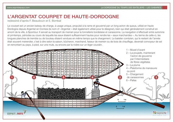
The Gabariers
The Dordogne was a favoured commercial route to Bordeaux and the Atlantic coast. Large flat-bottomed boats, called garbariers, well-adapted to the turbulent and dangerous course of the river, carried wood (staves for barrel making, coal, etc.) during the very short flood period, in autumn or spring when the water is referred to as "marketable". The crews of the gabariers then embarked on a dizzying descent, among whirlpools, rapids and rocks.
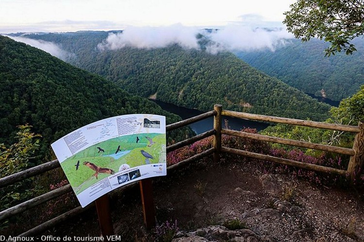
Roc Grand
Overlooking the stream at Le Sombre and the Chastang reservoir, the Roc Grand belvedere offers an exceptional panoramic view. Cliffs and surrounding rocks offer a holiday home for two bird species accustomed to these rocky environments, the Peregrine Falcon (Falco peregrinus) and the Great Raven (Corvus corvax).

The Chapel of L'Herbeil
A young girl who had seen the White Lady on the edge of a wood spoke to the young Simon Mérillou of Le Suquet about it. He laughed at the story, saying that the White Lady was his fiancée. Later, she appeared to Simon, reminding him that she was his fiancée, "Woe to your Queen," she added, alluding to his young lady friend. A few days later, Simon discovered his Queen, perched on a rock overlooking the Dordogne, and the White Lady reaching out to him. There was a violent flash, and both sank to the bottom of the water. Simon discovered that the two deceased were twin sisters and built a chapel to house his two white queens.
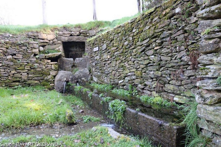
Saint-Simon Fountain
The fountain is named after a martyred king of Burgundy, Saint-Simon; legend has it that this fountain never freezes; In the past, the Saint's relics were dipped in the fountain so that the rain would start to fall.
Additional information
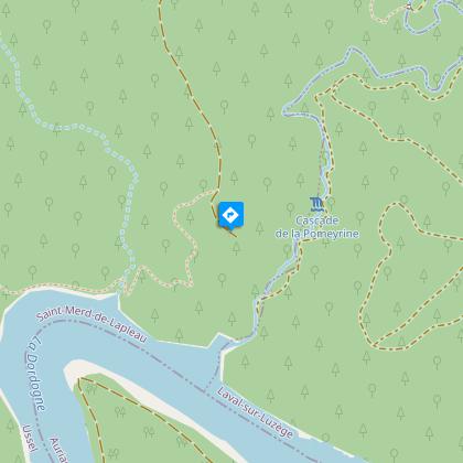
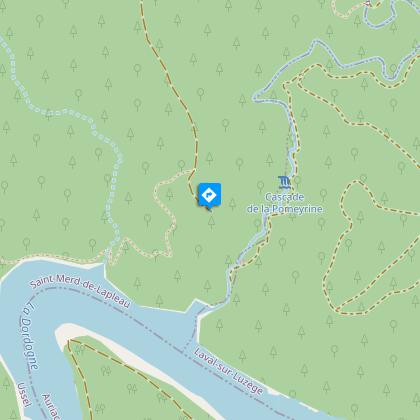
Advised parking
Path to the mobile phone mast, at the separation of the roads to Herbeil and Echamel
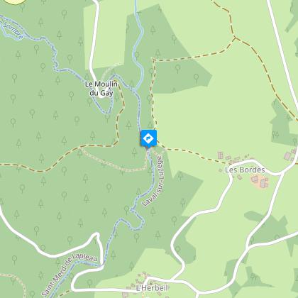
Access
Three km from the village of Poteau du Gay (located on the D 978 between Marcillac-la-Croisille and Spontour), take the road to l'Herbeil and Echamel.
Ambiance
From the catchment of the Saint-Simon fountain to the Chastang reservoir and the Sombre micro-power station, man has never ceased to control and use watercourses for his needs.
Arrival
Path to the mobile phone mast, at the separation of the roads to Herbeil and Echamel
Departure
Path to the mobile phone mast, at the separation of the roads to Herbeil and Echamel
