Alert
Alerts
Fremamorta Pass
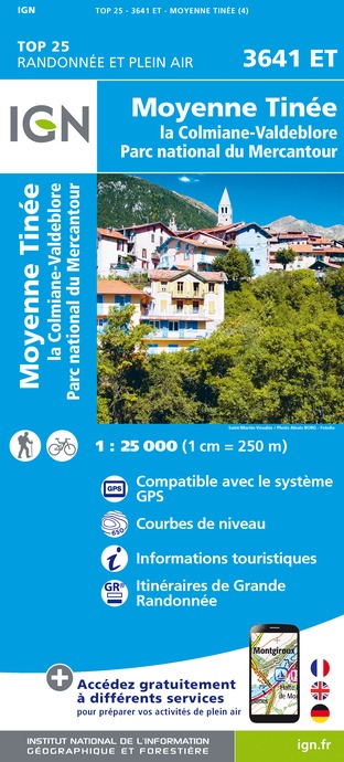
IGN cards


Description
The shortest and most direct route to the Colle di Fremamorta, although the constantly steep slope of the trail can be tiring. The excursion can be made circular at the plateau of Pian della Casa by taking the trail that turns off near the Umberto I barracks, or the one that turns off at the intemediate Lake Fremamorta.
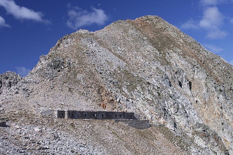
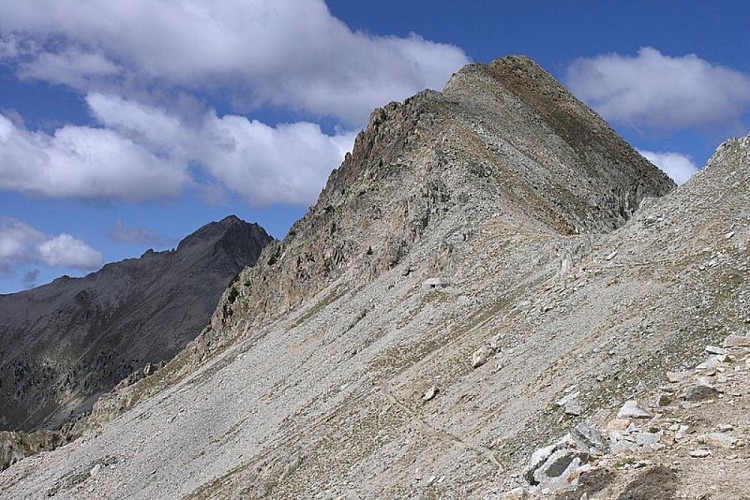
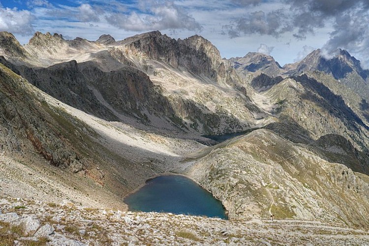
From Pian della Casa del Re (1735 m), the trail follows the same route as the "Il Colle di Ciriegia" itinerary {->16} until the second turnoff on the right (signaled), for the intermediate Lake Fremamorta and Colle di Fremamorta (ignore the first turnoff to the right, also for the intermediate Lake Fremamorta).The route abandons the mule track for Colle di Ciriegia and climbs to the right, in tight, steep switchbacks through a thicket of green alders. Further uphill, the trail rejoins the old mule track, which rises up to the top of a ridge. Just at the crest of the ridge, there is a turnoff. The route abandons the mule track for intermediate Lake Fremamorta and turns left, on the narrow path that leads directly to Colle di Fremamorta.The trail, fairly steep, rises over the crest of the ridge, then veers slightly to the right, entering a small detritic valley. It skirts a large boulder in the middle of the valley and then climbs a steep slope with a very long series of tight elbow turns. After an abrupt turn to the right, the trail joins the ex military mule track from the Fremamorta Lakes.The route follows the mule track to the left and climbs up the slope with a series of long switchbacks until coming to a well-marked fork: the path on the right leads to the western Colle di Fremamorta and the Alpine Corps barracks of the same name, while the trail to the left leads to the eastern Colle di Fremamorta (or simply Colle di Fremamorta, 2616 m, 2 hours and 45 minutes from Pian della Casa), where it reaches the pass.
Technical Information
Altimetric profile
Starting point

Additional information
Departure
Pian della Casa del Re (1735 m)
Arrival
Colle di Fremamorta (2616 m)
Ambiance
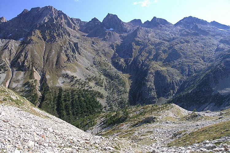
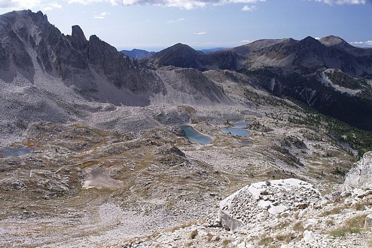
Climb through a primarily detrictic landscape, characterized by a number of lakes, which can be seen from the pass: the Fremamorta Lakes on one side, in single file, and the Lacs de Fremamorte on the other slope, on the French side.
Access
From Borgo San Dalmazzo go up the Valle Gesso. After Valdieri, continue up to Terme. Passing behind the Terme hotel, go up to the left in the Vallone della Valletta until the end of the road (dirt in the last stretch) at Pian della Casa.
Advised parking
Pian della Casa del Re (1735 m)
Public transport
Nuova Benese service company - Regular line Cuneo, Valdieri, Entracque - Telephone: 00 39 (0) 171 69 29 29 - www.benese.itsncf line TER Provence Alpes-Côte d'Azur For travel in the PACA region and towards Cuneo www.ter-sncf.com/pactrenitalia for travel in the Piedmont region www.trenitalia.com/it.html
Is in the midst of the park
The national park is an unrestricted natural area but subjected to regulations which must be known by all visitors.
Data author
