Alert
Alerts
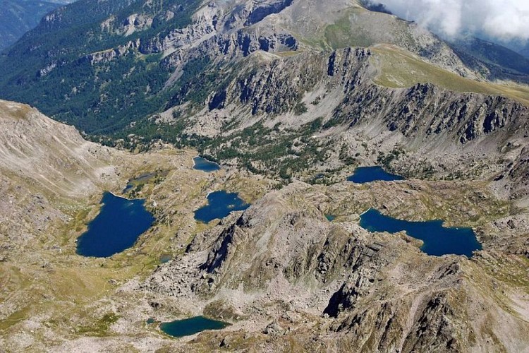
Lacs des Millefonts


Description
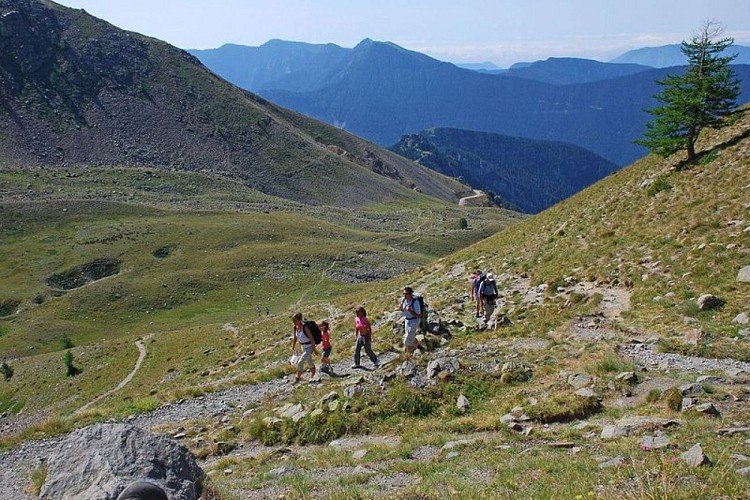
This itinerary goes through Alpine pastures and then rocky areas. At Col du Barn, there is a superb view of the peaks which denote the border between France and Italy.
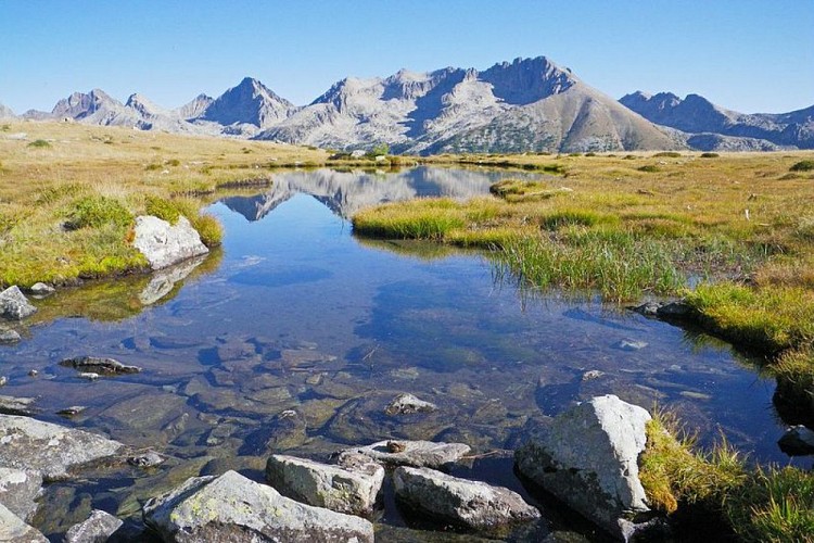
From the carpark at Millefonts, go up path GR52 (red and white markers) which initially leads to the Col de Veillos, from where you can see the entirety of the valley.Go past a path which heads off to the left.After a steep climb, you will see a shepherd’s hut on the right. The itinerary continues towards the bottom of the valley, following the western slopes of Mont Pépoiri, amid the Alpine meadows.Below, you will see the first lake, which is oddly called «Lac petit» despite being the biggest of the five Millefonts lakes.
The path then crosses an area of rocky scree and Alpine pastures. The climb then continues unhindered via a stony path which successively overlooks Lac Rond, Lac Long and Lac of the Millefonts lakes, finally arriving at the Col du Barn (2 452m).A view over the delightful Barn valley and the Argentera chain, the highest peak of these mountains (3297m).At the Col du Barn, the green hexagons, which can be seen on the rocks all along the crest, denote the boundary of Mercantour National Park. They are not markers for a hiking itinerary!Follow the same route for the return journey.
Technical Information
Altimetric profile
Starting point
Points of interest
Additional information
Departure
Carpark at Millefonts, Saint Dalmas Valbeblore
Arrival
Carpark at Millefonts, Saint Dalmas Valbeblore
Ambiance
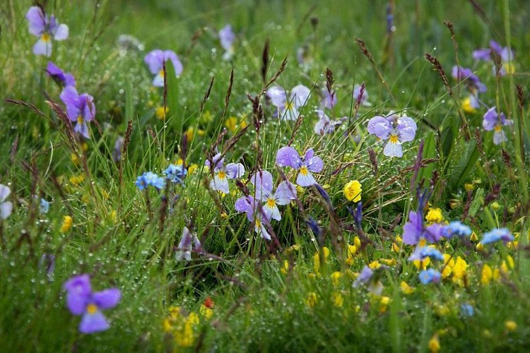
Millefonts... or thousand springs. Brooks and lakes meet up in this superb setting of Alpine pastures, the summer quarters for large numbers of sheep.
Access
From Saint-Dalmas-Valdeblore, follow the tarmacked road for 11km. Leave your vehicle at the Millefonts carpark, at an altitude of 2 040 metres.
Advised parking
Carpark at Millefonts, Saint Dalmas Valbeblore
Advice
A variation on this itinerary is possible, including the ascension of Mont Pépoiri (2 674m). At the Col du Barn, leave the GR and follow the crest on the right until you reach the summit. The outward and return trips will take 2 extra hours.
Data author
