Alert
Alerts
Le Bois Noir
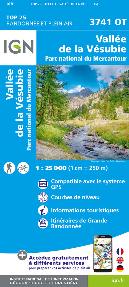
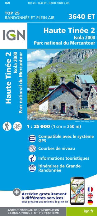
IGN cards


Description
A hike which is accessible for all with a small amount of climbing to explore a bocage landscape which combines agriculture with pastoralism and a delightful conifer forest, known as “Le Bois Noir” (“The Black Woods”).
From the carpark (marker 78) opposite the church, go along “Rue de la Madone” then take the first street on the right which leads to a small square. Continue straight on along “Chemin du Portalet” heading down parallel to the ramparts and take the path on the left to reach the Ânes de Blore chalet.
Go past the latter and after the warehouse take the left path (large walnut tree) through a landscape which opens onto meadows and hedges. Shortly afterwards, enter the forest, whose cool atmosphere is delightful in summer. Softwood trees dominate (pines, spruces, larches) with a magnificent undergrowth made up of bushes. The slope steepens as you reach the Bois Noir path. Do not take the steep climb opposite and instead take the easier path on the right.
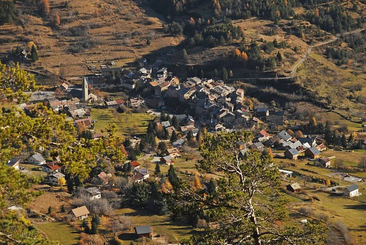
Continue along this path on the right until you reach Collet du Puei (marker 126), which is a pleasant place to picnic (tables). Return to the village of St-Dalmas-Valdeblore via the forest track you took on the outward journey. You can visit the picturesque village with medieval architecture should you wish.
Technical Information
Altimetric profile
Starting point
Additional information
Departure
Saint-Dalmas-Valdeblore
Arrival
Saint-Dalmas-Valdeblore, via Bois Noir (circuit)
Ambiance
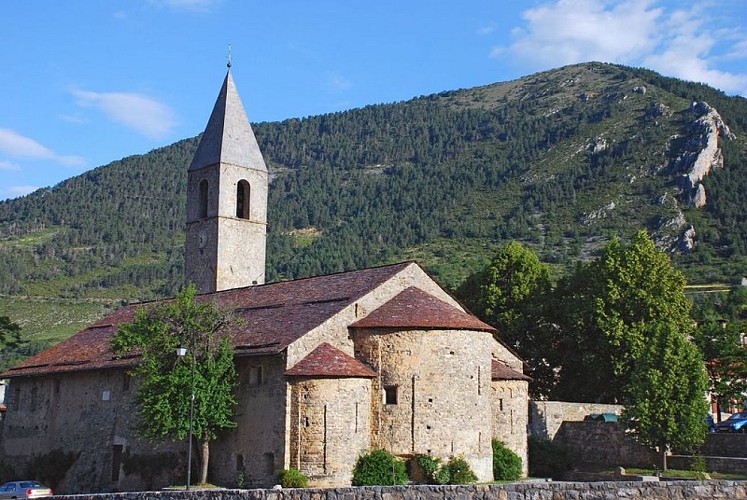
Saint-Dalmas-Valdeblore, one of the four hamlets which make up the commune of Valdeblore, is built on the site of a former priory. The vestiges of this edifice remain: its gate tower with arrowslits in the walls and its crenelated sentry walk. Its 10th-century Romanesque church with its square clock tower contains some of the oldest wall-paintings in this area.
Access
Via La Vésubie 50km from Nice: A8 motorway, - Exit 52 Nice Saint Isidore - then RD6202 (towards Grenoble) to Plan du Var, then D2565 towards Saint-Martin-Vésubie.
Subsequently follow directions towards La Colmiane/Valdeblore, then Saint-Dalmas-Valdeblore.
Accessibility infrastructure
Free loan of “Joëlette” off-road wheelchairs:Département des Alpes MaritimesTél. : 00 33 0(4) 97 18 60 00www.departement06.fr
Mercantour National Park House at St-Martin-VésubieTel.: 00 33 (0)4 93 03 23 15www.mercantour.eu
Advised parking
Carpark (marker 78) opposite the church at Saint-Dalmas-Vadeblore
Public transport
No buses: public transport only serves the preceding village, La Colmiane.
To reach La Colmiane: From mid-June to mid-September: Randobus Lignes d'Azur
Number 730 - Vallée de la Vésubie- Departure from Nice Vauban: 7.15am/Arrival at La Colmiane: 9.10am- Departure from La Colmiane: 4.40pm/ Arrival at Nice Vauban: 6.45pm
Further information at www.lignesdazur.com/ Randobus sectionTel.: 08 1006 1006
Advice
Activities accessible:Donkey rental “Anes de Blore” at Saint-Dalmas-ValdebloreTel.: 00 33 (0)6 88 47 19 70www.anesdeblore.fr
Paragliding at La Colmiane - ValdebloreFlights with Imagin’Air, equipment adapted for handicapped people availablewww.imagin-air.com
Data author
