Alert
Alerts
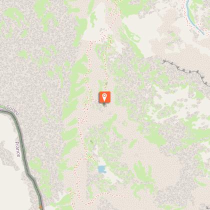
The Colle di Finestra


IGN cards


Description
The most interesting part of the route begins at the lovely plateau of Piano del Praiet: here the trail passes just under the Soria Ellena Refuge, where a well-kept mule track leads to one of the easiest passes of the Valle Gesso, used for many centuries.
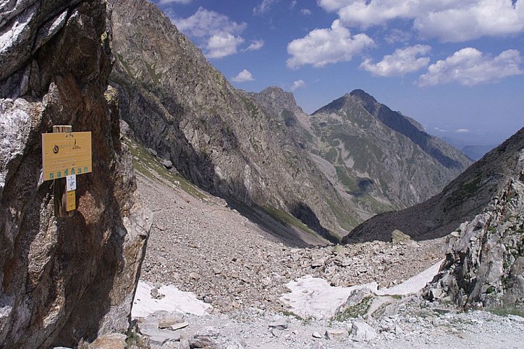
From San Giacomo di Entracque (1226 m), just beyond the Park's trekking refuge, the road become unpaved and, with some switchbacks, climbs up the Vallone della Barra. The beech woods thin out rapidly and lush pastures interspersed with a few bushes dominate the landscape. The route continues at a moderate incline, near the valley floor; after passing by the Gias Isterpis, recently restructured, it proceeds on a long traverse until it reaches the Piazzale dei Cannoni, where it passes by a mule track on the left leading to the Gias della Siula.The road climbs with two switchbacks (shortcut possible here), then proceeds, alternating traverses and occasional switchbacks: at about 1650 m, next to a switchback heading right and at the foot of a rocky outcropping, there is another small path leading off to the left, easy to see but a bit challenging, that shortens the route.After passing the narrow bottleneck known as the Passaggio di Peirastretta, the steepest part of the trail is finished: passing by the trail for Colle di Fenestrelle on the right, the dirt road fords the Gesso della Barra torrent at the mouth of the Piano del Praiet plateau.Hikers should cross the torrent on the wooden footbridge, a few meters to the left of the ford. Just over the footbridge, there is a fork: the route continues on the right, returning to the dirt track that heads southward through the broad pasture of Piano del Praiet (1812 m, 2 hours and 10 minutes - 2 hours and 20 minutes from San Giacomo).When the dirt road leading up to the Soria Ellena Refuge comes to another branch of the torrent, the trail turns off to the left, on the old mule track (washed away by the floodwaters of the torrent in some tracts) up to the Colle di Finestra. The mule track crosses the plain and climbs up the orographic right slope of the valley in broad, easy switchbacks, passing by the fork for Pera de Fener and Lake Maura on the left at the very start of the uphill tract.When the valley narrows, the route proceeds past the trail on the left (unmarked) leading to the ruins of the former barracks known as the Testata Gesso della Barra shelter (which appears in many maps and guidebooks by other names), and crosses over to the orographic left, where it continues to climb in a series of switchbacks and mid-slope traverses, ignoring another turnoff to the left on the mule track to the Testata Gesso della Barra shelter. The trail proceeds, alternating switchbacks and traverses, past a rocky bastion on the right before meeting up, at about 2260 meters, with the turnoff on the left for little Lake Praiet. We strongly recommend the detour to Lake Praiet (2285 m, 10 minutes). The trail begins near an enormous flat boulder, and is signaled by little stone markers. There is a short uphill climb through grass and rocky ground to the shores of the lake.At an altitude of about 2310 m, the route passes a turnoff on the left that leads to a disused hunting blind, and after going past a very short stretch that has been obstructed by a rockslide, the deep, narrow cut known as the Colle di Finestra comes into view.After a last long traverse, now over detrictic rubble, the mule track reaches the ruins of the large military barracks of Colle delle Finestre. From the barracks, a few switchbacks lead up to the pass of Colle di Finestra (2474 m, 2 hours and 5 minutes from Piano del Praiet).
Technical Information
Altimetric profile
Starting point
Points of interest


Additional information
Departure
San Giacomo di Entracque (1226 m)
Arrival
Col de Fenestre (2474 m)
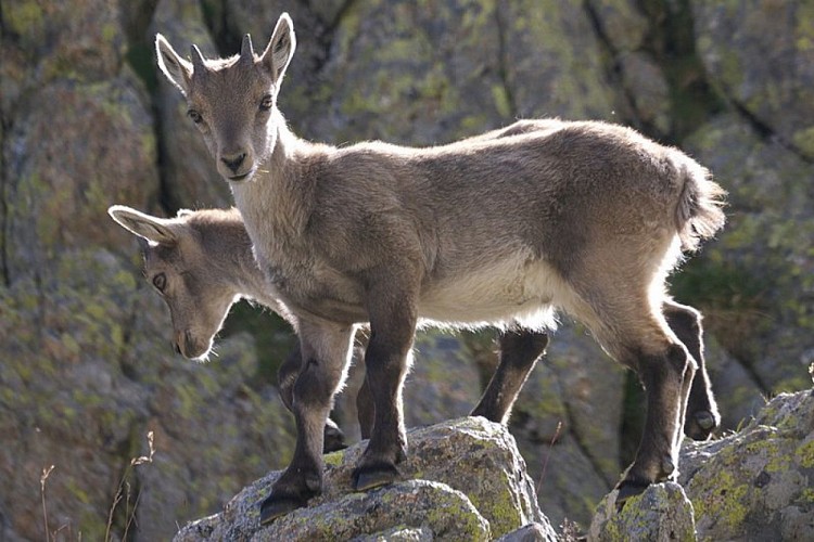
Ambiance
Beyod the pastures of Piano del Praiet, the habitat becomes markedly detritic, with a little gem: the often overlooked but very charming Lake Praiet, just a few minutes off the main trail. The route passes by the ruins of numerous military structures of various ages.
Access
From Borgo San Dalmazzo drive up the Valle Gesso. After passing Valdieri, turn left for Entracque. Before entering the town, turn right for San Giacomo and then right again for San Giacomo. There is a parking fee in the summer season.
Advised parking
San Giacomo di Entracque (1226 m)
Public transport
Nuova Benese service company Regular line - Cuneo, Valdieri, Entracque - Tel : 00 39 (0) 171 69 29 29 - www.benese.itsncf TER Provence Alpes-Côte d'Azur line - For traveling in the PACA region and towards Cuneo - www.ter-sncf.com/pactrenitalia for travel in the Piedmont region www.trenitalia.com/it.html
Is in the midst of the park
The national park is an unrestricted natural area but subjected to regulations which must be known by all visitors.
Data author
